B) Upper Silver: Silver Rd to Arvon Rd (2.3 miles)
Linked via: Proximity 99% confidence Synced 6mo ago
Gauge Conditions
Runnable: 7.5 – 9.0 FT
Too low for any reasonable whitewater experience. (Under 100 cfs.)
Data from American Whitewater & USGS
Run Map
Description
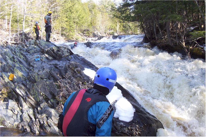
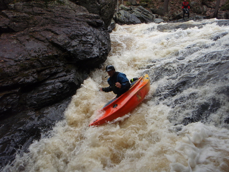
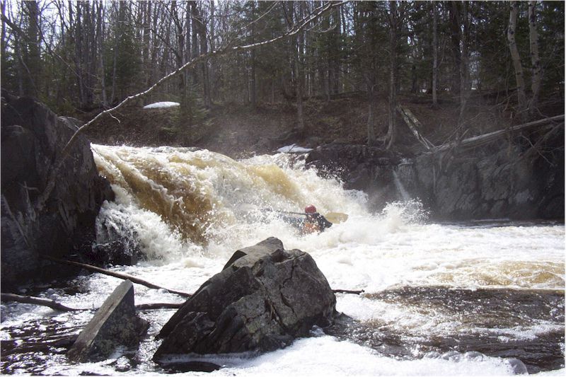
This is one of the definitive South Shore creek runs. First paddled in the seventies, the Silver has long had an annual pilgrimage of faithfuls, hoping to catch this beauty when the snow melts and the ice goes out.
The run begins with _Hail Mary_ (a great challenging rapids in three pitches) and ends with the Cabin Section (an even more demanding stretch which most boaters will enjoy from shore, and even well seasoned boaters will likely appreciate having good safety support in a few key locations). At low-to-moderate flows, this section can easily be parsed into three sequential pitches. At higher flows, the drops tend to 'run together', creating many opportunities for epic tales to be told later around the bar or campfire. And, between these two sequences, you'll find a plentiful assortment of good drops to keep you on your toes.
Many boaters will continue downriver to do the 'Lower Silver' run for a good, full day. And, if they've planned well, will add a run on the Falls River (in L'Anse) as either a warm-up or a 'chaser' to end the day.
Click here for Part 1 of an article from the AW Journal, way back in 1981!
Click here for Part 2 of the article.
The article describes the following: Michigan's, Upper Presque Isle, Lower Presque Isle, Middle Black, Lower Black, Upper Silver, Lower Silver, Falls, and Rock; and Wisconsin's Lower Brunsweiler, Montreal Canyon, and West Branch Montreal.
Rapids in this Run (4)
Waterfalls (2)
Difficulty
Class III-V
Length
2.2 mi
Gradient
150 ft/mi
max 177
Rapids
4
Access Points
Shuttle Info
From Hwy 41 on the south side of L'Anse, a short distance south from the Hilltop Restaurant, turn east on Dynamite Hill Rd. This will twist and turn somewhat, but stay on the main road for about 4 miles. There will be an obvious 'Y' in the road. Bearing to the left will put you on Arvon Rd (same Arvon Rd as used to access the Slate River but opposite end) where no more than 1/2 mile drive brings you to the take-out bridge. Bearing to the right (from the aforementioned 'Y' will put you on Indian Road. Proceeding 1.7 miles, you will bear left to continue onto Silver Road. About a half-mile will bring you to the put-in bridge.
The map below shows the shuttle route, take-out (A) to put-in (B). (The river is flowing Northwards; upwards on the map).
Difficulty Classes
I Easy
II Novice
III Intermediate
IV Advanced
V Expert/Extreme
VI Unrunnable
Current Conditions
5-Day Forecast
Whitewater data from
American Whitewater
American Whitewater