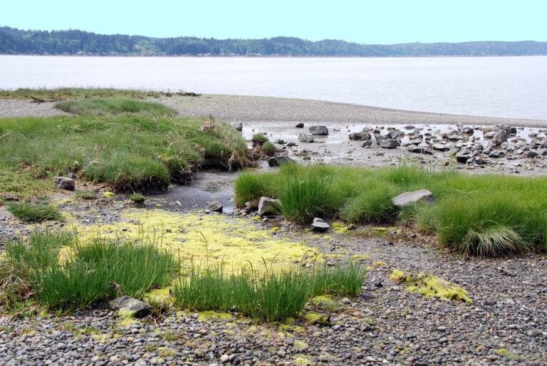
Baird Creek to Jim Watson Creek
Linked via: Nhdplus discovery 90% confidence Synced 6mo ago
Gauge Conditions
Runnable: ? – ? CFS
Approximate reading: This gauge is 13.8 miles away on Coweeman River. Use as a general reference only.
Data from American Whitewater & USGS
Run Map
Run Time Estimate
Select put-in and take-out to estimate time.
Unlock Advanced Trip Planning
See wind-adjusted speed maps, forecast planning, and detailed time estimates.
Sign in to generate an AI timing estimate for this run.
Whitewater timing varies with scouting, portages, and group pace. Use as a planning baseline.
Description
Currently the uppermost access is at the locked Weyerhauser gate locked near Baird Creek. The gate blocks access to the first 2 miles of the run as described in Bennett's guidebook, taking out one potential Class 4 and some interesting Class 3 rapids.
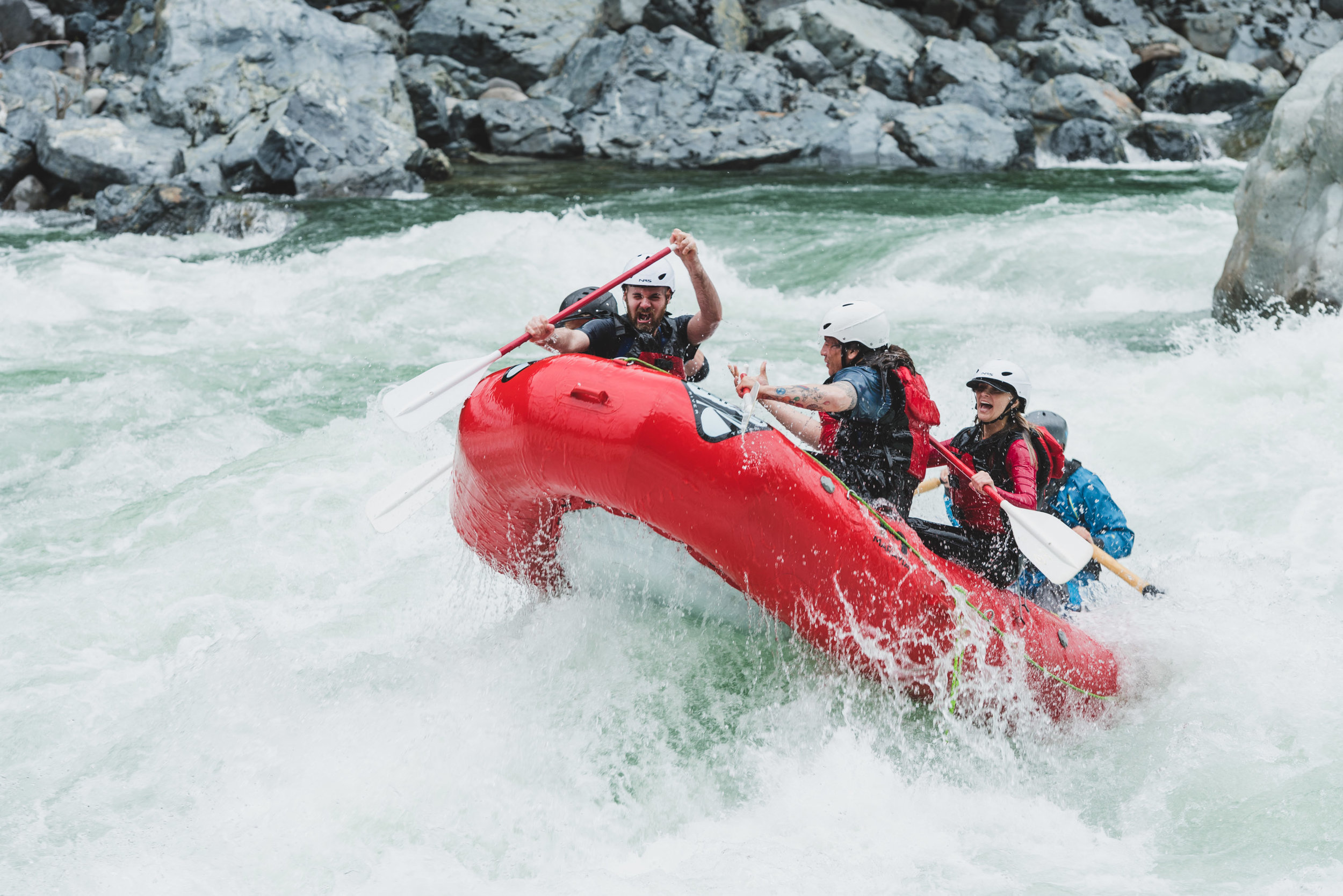
Most boaters do this run on 'blowout days' when everything else is too high. When it's really high it's not class 2-3 but more like 3-4. This rating is based on continuousness and wood hazards as there are no class 4 rapids. The launch point was at the gate but a fish habitat structure has been constructed just downstream from the old launch point so paddlers have started launching at an easy pull-out 100 yards downstream from that. This fish habitat structure at the old put-in has been runnable but you just never know with wood whether there's something in there to grab the bow that goes a little too deep.
Downstream from the launch the run starts right in with continuous class 2 water. You will find eddies along the banks and great surfing waves out there. Approximately a half mile down you come around a right bend and a diagonal ledge with a bad sticky pocket hole on the right--go left, out onto the rock prominence, to stay away from the pocket. This is more important at high water.
The next steeper bit occurs on a left bend as you approach the road. After the left bend a long class 3 ensues named Busytown. If you figure out you're there, the line is center with zig-zagging moves to avoid holes, and eddies along both sides. At very high water the line is center-left.
Three miles downstream from the launch is the biggest rapid, called Cable Drop. You will know you are approaching it from the cable across the river overhead with one strand trailing in the river. The rapid has concrete on the left and a rock ledge on the right. The main channel is straightforward, following the water from center to center left. It's steep enough that scouting on the drive up is recommended to confirm it is clean. In recent years a Log Jam immediately downstream from this rapid is a hazard for swimmers requiring quick rescues for anyone who runs into issues in Cable Drop. Both sides of the log jam have been open but you never know which if any route will be available. To scout from the road on the drive up, stop at the pullout on the outside of the next bend upstream of the rapid to walk down and check out Cable Drop.
The rapids downstream from this points are not named but you can expect ample small and medium rapids and lots of GREAT surfing waves. Most of them must be caught on the fly but a few have eddy service. Toward the end of the run two massive pourovers are on the left, both hidden in class 1-2 water. It's amusing to see class 5 boaters, bored out of their skulls, go to boof those humps and end up swimming.
A good take-out is on river right at the Cowlitz County Park that is 1.2 miles upstream from Schoolhouse Road. The historical take-out at Schoolhouse Road is private property and the current landowner has made clear that this is not a public access to the river. The county park has pull-out space along the road for 6-10 cars depending on parking talent. This parking is available even when the gate to the park is closed for the season. When you are on the river the park comes up on a right bend and has a narrow grassy strip right down to the water. The park is just upstream from the second of the two pourovers mentioned in the previous paragraph, so if you see the second bad hole on river left, you're even with the last good take-out spot on the right.
Flows: The gauge that used to be on this stream is now gone. You need significant recent rain for the river to be running. Paddlers often use the East Fork Lewis Heisson gauge, and the Toutle too, to know if the area is getting a big enough spike. If everything else is way high, this run might be in, especially if you drive up before the rain stops. It's likely to have sufficient flows when the EFL Heisson gauge reads 3,000-6,000cfs or more AND most of the water is coming from the top (snowmelt), or it is still raining. A stick gage has reportedly been maintained somewhere downstream.
The run is 7-8 miles long depending on takeout, and the shuttle is slow because of the narrow winding road.
A rather comprehensive video of this run from a SUP point-of-view is available here.
Rapids in this Run (2)
Difficulty
Class II-III(IV)
Length
11.0 mi
Gradient
41 ft/mi
Rapids
2
Access Points
Difficulty Classes
I Easy
II Novice
III Intermediate
IV Advanced
V Expert/Extreme
VI Unrunnable
Current Conditions
5-Day Forecast
Whitewater data from
American Whitewater
American Whitewater