Beech Creek to Bee Rock Campground (5 miles)
Linked via: Proximity 94% confidence Synced 6mo ago
Gauge Conditions
Runnable: 200.0 – 3,000.0 CFS
Recommended (Low-to-moderate) flows.
Data from American Whitewater & USGS
Run Map
Description
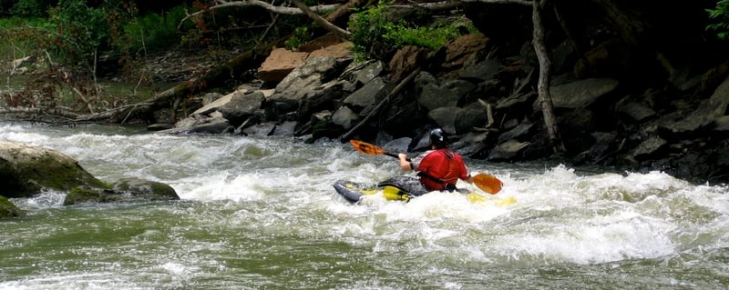
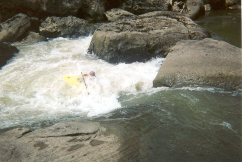
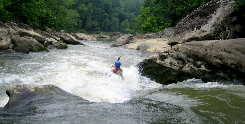
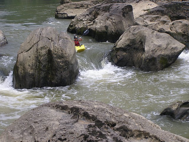
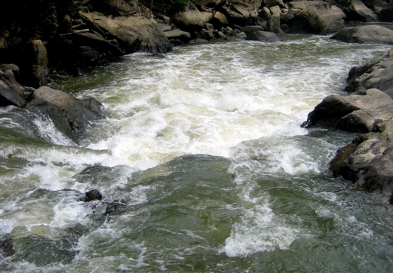
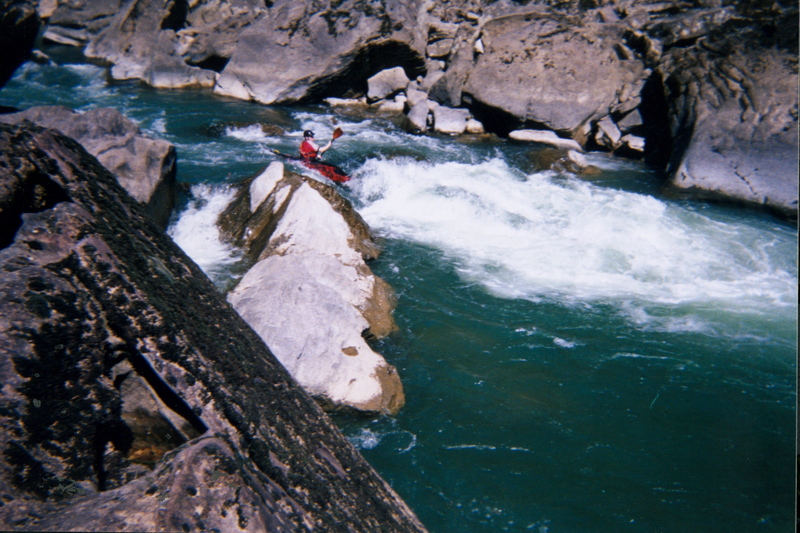
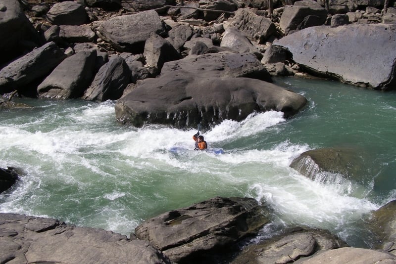
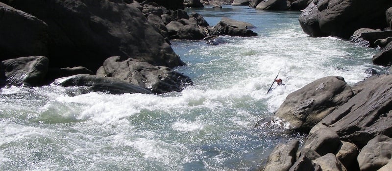
Classic Cumberland Plateau boating. This narrow river has sections of whitewater to give any capable boater goose bumps. The narrows section is representative of the boulder choked, undercut, and sieved rapid-pool style whitewater associated with the Cumberland Plateau.
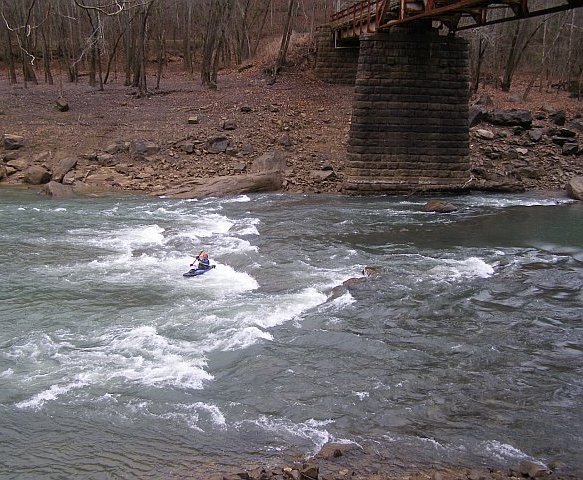
Class IV Beech Narrows is the only non-read-and-run rapid, making this 1.5 mile section of whitewater perfect for all skill levels. While remote and wild this section also has trails following the river on both sides eventually ending downstream at Bee Rock Campground. The Rockcastle Narrows sections becomes very pushy and has a bigger water feel at levels above 1000 CFS. Bring your reliable roll when paddling this remote section of whitewater beauty.
In January 2007 the U.S. Army Corps of Engineers announced an emergency drawdown of Lake Cumberland, which the Rockcastle is a tributary of. After 7 years and nearly $1 billion dollars the dam repairs were reported by the USACE to have been completed. The lake will resume its normal summer pool level of 723 feet above sea level in Spring of 2014. If you have paddled this river in the past 7 years there are some significant rapids that will be inundated below the pool level, possibly including Crybaby and Guy's Surprise. This will obviously create a much longer flat paddle to the takeout but provide an opportunity for a non-shuttle method to paddle and walk the trail onf river left to run what rapids that arent under the lakes pool.
A 25 minute park and hike-in shuttle takes the old monster drive/shuttle out of play. It is the 503 Trail that also connects to the 529 trail at Bee Rock Campground making the shuttle completely hikeable (~50 minutes). This completely takes out all the flat water sections of the Rockcastle except that between Beech and Lower Narrows. The 503 trail actually hits the river downstream of Beech Narrows so you will probaby want ot turn left (upstream) when you intersect with the riverside trail on the hike in.
From Bee Rock take 192 west two miles then turn right onto Close Rd. Two (2) miles in be on the lookout for orange diamond shaped trail markers(labled 503) on the trees about 8 feet up on the left side of the road. Parking is immediately ahead on both sides of the road. Park off the road as there is regular traffic here. Never block road gates in the National Forest they are there for emergency purposes.
Rapids in this Run (9)
Hazards & Portages (1)
Caution: The following locations may require scouting or portaging. Always check current conditions.
Difficulty
Class III-IV
Length
15.0 mi
Gradient
11 ft/mi
Rapids
9
1 Hazard
Access Points
Difficulty Classes
I Easy
II Novice
III Intermediate
IV Advanced
V Expert/Extreme
VI Unrunnable
Permit Required
No permit required, backcountry camping permits are required for the Daniel Boone National Forest and there are fees to camp at Bee Rock Campground.
Current Conditions
5-Day Forecast
Whitewater data from
American Whitewater
American Whitewater