Big Hungry Road to Green
Linked via: Nhdplus discovery 90% confidence Synced 6mo ago
Gauge Conditions
Runnable: ? – ? CFS
Approximate reading: This gauge is 6.9 miles away on Big Hungry River. Use as a general reference only.
Data from American Whitewater & USGS
Run Map
Run Time Estimate
Select put-in and take-out to estimate time.
Unlock Advanced Trip Planning
See wind-adjusted speed maps, forecast planning, and detailed time estimates.
Sign in to generate an AI timing estimate for this run.
Whitewater timing varies with scouting, portages, and group pace. Use as a planning baseline.
Description
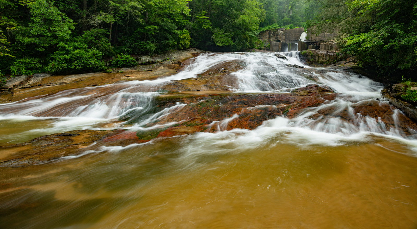
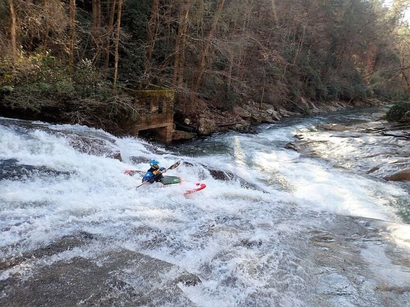
To reach the put in for Big Hungry drive up Big Hungry Road to the bridge where the dam is. There should be a few parking spaces on either side of the road. From here look for the painted gauge on the bridge to check the level.
Ideally look for 2in+ of rain the day before. 7in is probably the minimal level. 9-11in is ideal. Anything over 18in will be on the spicy side.
You can hike up river left to the dam & put in or just under the bridge. The run is mostly class III+ read & run with some nice class IV rapids like Lower Big Hungry Falls (Twin Cheeks) Duck Duck Boof & Mini Gorge. Goes without saying watch for wood & scout any drops you can't see. The river will eventually join the Green just below the put in for the Narrows. Keep in mind if Big Hungry is running the Narrows are most likely running at a high level.
You have two options for take outs. First is to run the length of The Narrows down to Fishtop. The other option is to reach the confluence with the Green & hike approximatly .6mi back up the Narrows put in trail to the parking lot at Gallimore Road. Make sure you have a key to the gate. It is a short shuttle which is always a plus & is a neat run with just enough to get you ready for the Green.
It is a good step below the Narrows in terms of difficulty.
NOTE: Hurricane Helene did extensive damage to this area. The bridge has been washed out (with the painted gauge) & part of the upper dam as well.
Rapids in this Run (4)
Waterfalls (1)
Difficulty
Class III-IV
Length
1.4 mi
Gradient
130 ft/mi
Rapids
4
Access Points
Difficulty Classes
I Easy
II Novice
III Intermediate
IV Advanced
V Expert/Extreme
VI Unrunnable
Current Conditions
5-Day Forecast
Whitewater data from
American Whitewater
American Whitewater