Bonham Rd to Darrtown Rd
Linked via: Nhdplus discovery 90% confidence Synced 6mo ago
Gauge Conditions
Runnable: 4.0 – 8.0 FT
This is an estimate and needs to be worked out. Both the low and high end are SWAGs. Will update as more information comes available.
Data from American Whitewater & USGS
Run Map
Run Time Estimate
Select put-in and take-out to estimate time.
Unlock Advanced Trip Planning
See wind-adjusted speed maps, forecast planning, and detailed time estimates.
Sign in to generate an AI timing estimate for this run.
Whitewater timing varies with scouting, portages, and group pace. Use as a planning baseline.
Description
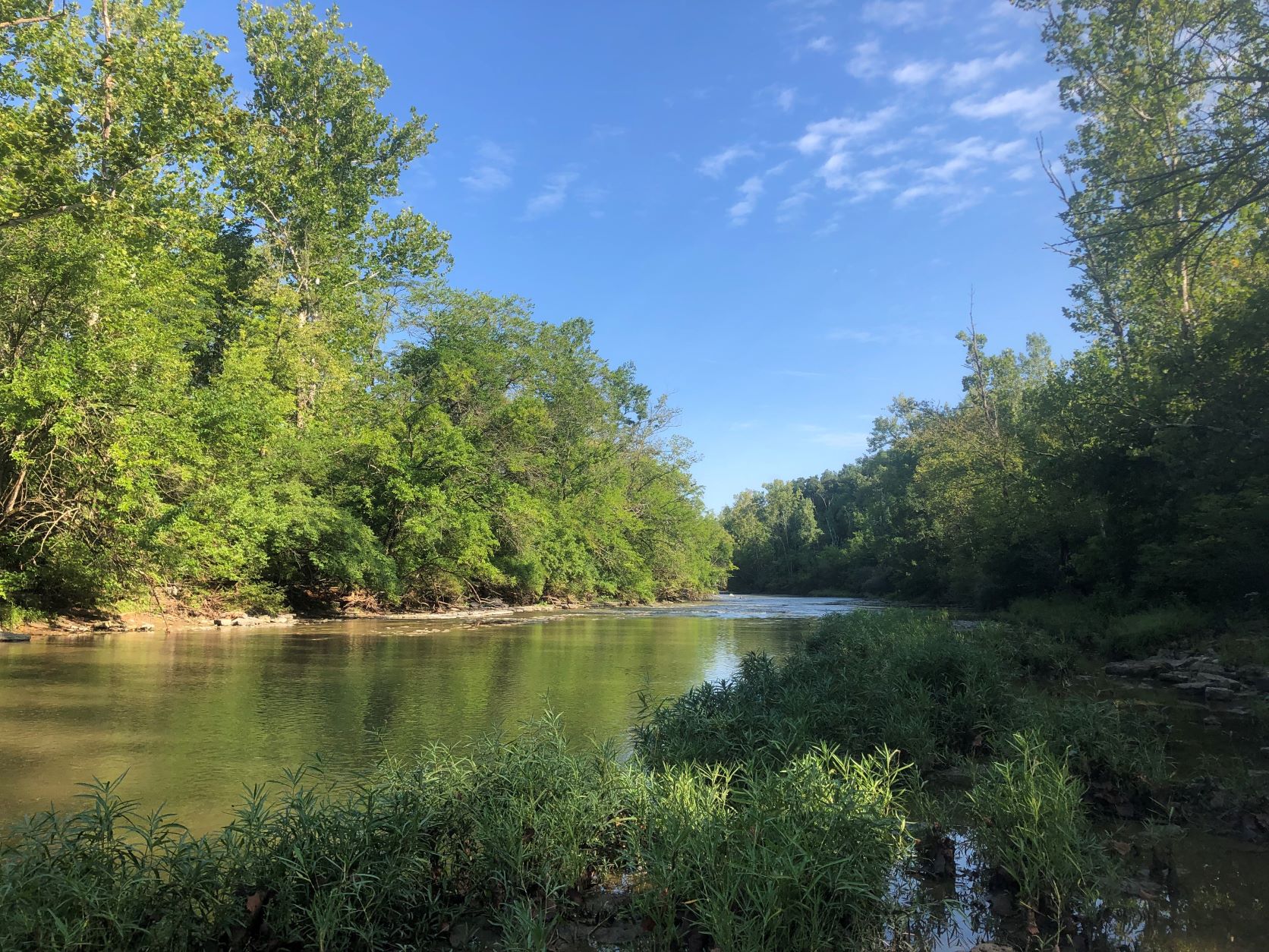
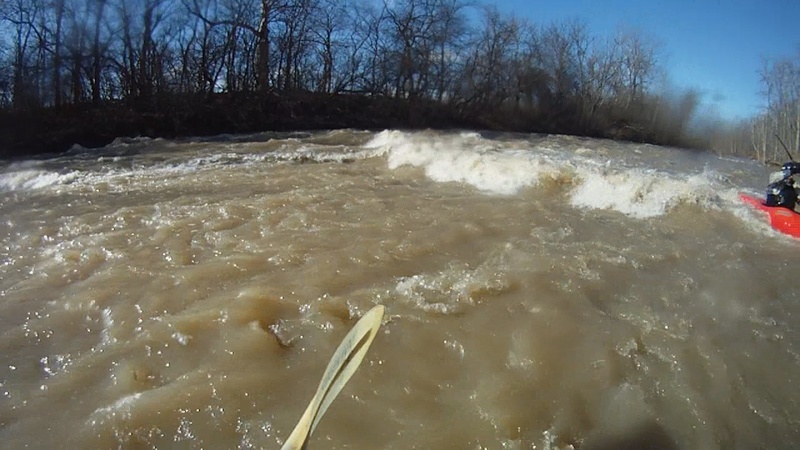
This scenic Class II run flows out of Houston Woods Lake, through Oxford, OH. The run is generally strainer-avoiding Class II, but does have a couple nice surf spots. The Ledges section is almost 1/4 mile in length and has plenty of diagonal ledges for surfing. While most are catch on the fly, several at the bottom do have eddy service on river right.
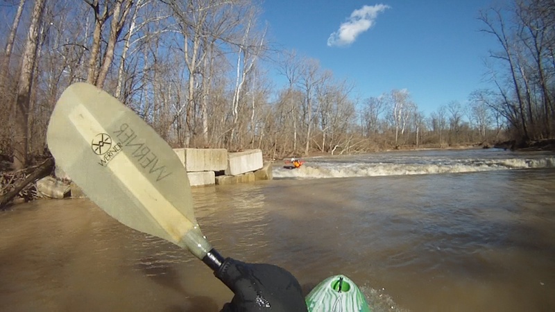
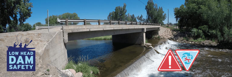
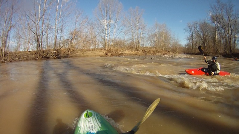
There are two broken low-head dams on the run. The first is almost immediately after the put-in and should be portaged. It can be run EXTREME river right, but the slot is small and any mistake could have bad consequences. The second dam was altered by ODNR to allow passage, and is best run on river left. The water is very shallow and the hole at the bottom is more bark than bite. You can miss both low head dams by putting in at putting in 1.2 miles downstream at the Oxford Trenton Road Bridge.
This section of river is generally only runnable after heavy rains or sustained periods of moderate rain. It will usually hold adequate flow for a day or two, depending on the amount of rain. The dam upstream no longer has a releasable gate, thus operates as a spillway (passing flow of river at all times).
The listed gauge is for Sevenmile Creek, which should give an accurate indication of whether Four Mile is running. The low and high end of the guage readings are still be worked out (as of the updating of the page, October 23, 2016). I'm fairly confident on the low end, but the high end may be really raging, so use your judgement when you get to the river. Expect Class III (or higher) at high water due to flood conditions.
Rapids in this Run (2)
Waterfalls (1)
Playspots (2)
Hazards & Portages (1)
Caution: The following locations may require scouting or portaging. Always check current conditions.
Difficulty
Class II(IV)
Length
6.3 mi
Gradient
13 ft/mi
Rapids
2
1 Portage
Access Points
Shuttle Info
Put-in Parking - You can drop boats on the downstream side access road, but you need to park at the park across the street.
Alternate Put-in Parking - You can park in the large parking lot on the upstream side of the bridge at the park. There's a small feeder stream that allows you access to the river.
Take-out Parking - Parking is limited and is roadside. Be mindful of people's property. Maybe room for 3-4 vehicles total.
Difficulty Classes
I Easy
II Novice
III Intermediate
IV Advanced
V Expert/Extreme
VI Unrunnable
Current Conditions
5-Day Forecast
Whitewater data from
American Whitewater
American Whitewater