Boomer to USFS Border
Linked via: Nhdplus discovery 90% confidence Synced 6mo ago
Gauge Conditions
Runnable: ? – ? CFS
Approximate reading: This gauge is 8.8 miles away on Trail Fork. Use as a general reference only.
Data from American Whitewater & USGS
Run Map
Description
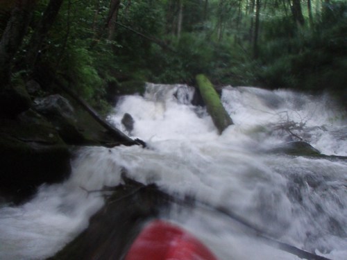
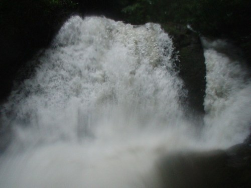
This creek is one of the best in Tennessee. It is the Road Prong's easier and smoother cousin, with matching gradient and a more channelized streambed.
Overall, it is amazing this creek was just now run (Fall 2006). First scouted in 1998 by Daniel Talley and Eric Ralston, the run was cleaned in Summer 2006 and first run a few months later.
The first mile is all bedrock and requires suprisingly little water to run. The last 3/4 mile is boulders and requires more water, since there are many pin spots and shallow dechannelized areas.
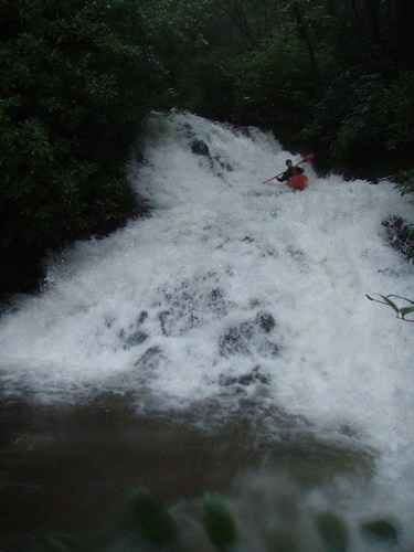
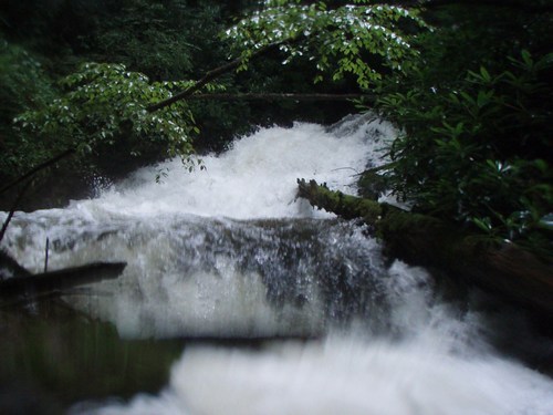
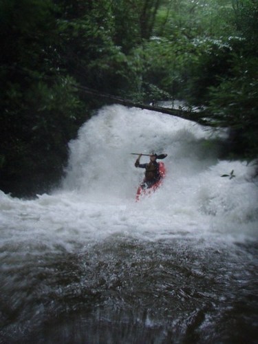
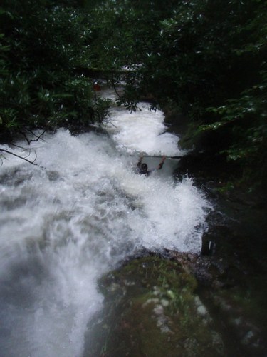
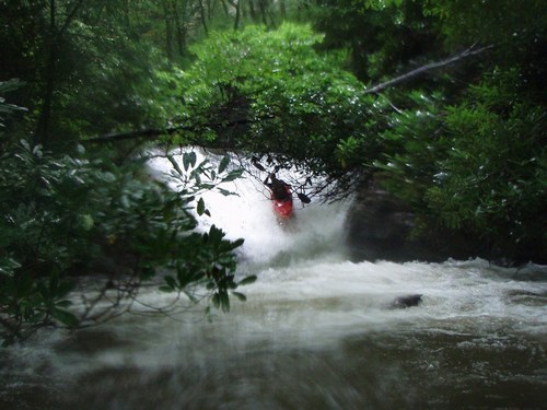
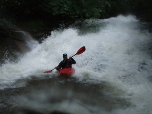
There are roughly 20 quality bedrock rapids of anywhere from 8 to 25 feet in gradient. There are three that definitely qualify as class 5, and most of the others are in the 4-4+ range. Still, the drops are right on top of each other with no breaks and this is a class 5 run for sure. This is a solid step up from Brush Creek. The third drop is a sketchy 16 foot off vertical falls with a must make tight line to the right. A portage trail has now been cut on river left, up and around the falls. A rope is now in place that will assist with the 25 foot descent back down to creek level. There is another rapid that has a tight turning pinch halfway down and another with a juicy pocket halfway down. The run has now been cleaned out, and excepting a possible portage at brown pants, there are no portages, unless something new appears. There is a wheelchair move to make through a log jam on the right below a 15 foot slide. There is also a sketchy slot cut out of another logjam on river left that is runnable, but cuation should be exercised. This is a few hundred yards above Penalty Box. There may be one log jam left in the few hundred yards above the takeout. We ran out of light on the final clean up day, so watch out down there. The quality stretch is all clean now.
All drops are runnable and only a few have serious consequences. The big theme is to watch for newly developed log jams and strainers. Hiking out is not an option, and the gorge walls are straight up in most places. The putin is on USFS land on a side road that goes to Boomer, TN. The takeout is currently not worked out, and it is advised that boater presence be minimal and low profile. Don't trespass and treat the locals with respect.
Page 29 in the Tennessee Gazeteer shows the run and the surrounding region.
Rapids in this Run (1)
Waterfalls (8)
Hazards & Portages (6)
Caution: The following locations may require scouting or portaging. Always check current conditions.
Difficulty
Class V
Length
1.5 mi
Gradient
475 ft/mi
max 600
Rapids
1
6 Hazards
Access Points
Difficulty Classes
I Easy
II Novice
III Intermediate
IV Advanced
V Expert/Extreme
VI Unrunnable
Current Conditions
5-Day Forecast
Whitewater data from
American Whitewater
American Whitewater