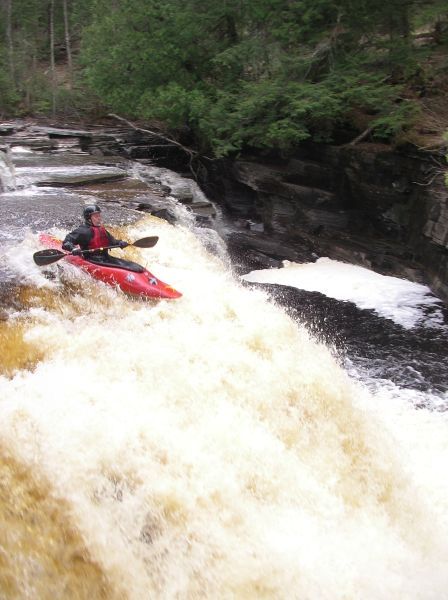
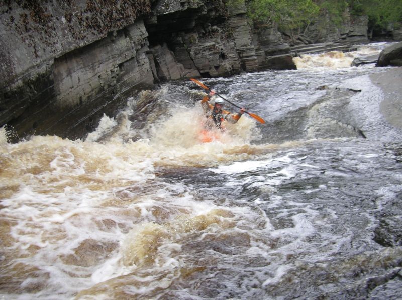
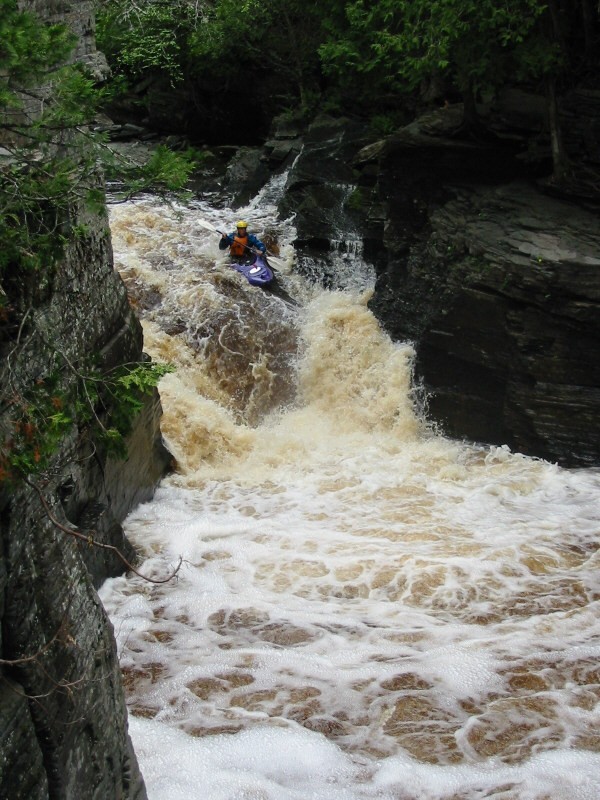
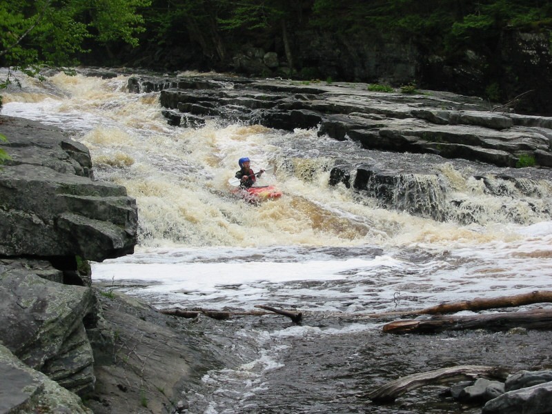
C) Sturgeon Canyon: Hwy.41 to Upper Falls (0.75 miles) Wild
Linked via: Nhdplus discovery 90% confidence Synced 6mo ago
Gauge Conditions
Runnable: 250.0 – 600.0 CFS
Generally too low for decent whitewater run.
Data from American Whitewater & USGS
Run Map
Put-in
Take-out
Rapids/Hazards
Wild
Scenic
Recreational
Run Time Estimate
Select put-in and take-out to estimate time.
Unlock Advanced Trip Planning
See wind-adjusted speed maps, forecast planning, and detailed time estimates.
Sign in to generate an AI timing estimate for this run.
Whitewater timing varies with scouting, portages, and group pace. Use as a planning baseline.
Description
Put-in is via a roadside park on Hwy.41.
Take-out is after Upper Falls (the final drop as you leave the canyon). Carry back up.
The gauge provides fairly accurate read of runnable flows.
Rapids in this Run (1)
Waterfalls (4)
Playspots (1)
Difficulty
Class IV-V
Length
0.7 mi
Gradient
150 ft/mi
Rapids
1
Access Points
Shuttle Info
The 'shuttle' is via carry-up, so we default the directions to be from your home zip. You may use the text-entry box to input your home address or other starting location to get more specific drive distance, time, and directions to this reach.
Difficulty Classes
I Easy
II Novice
III Intermediate
IV Advanced
V Expert/Extreme
VI Unrunnable
Current Conditions
5-Day Forecast
Whitewater data from
American Whitewater
American Whitewater