Camp Evelyn to Woodland Road (1.25-2.34 miles)
Linked via: Proximity 98% confidence Synced 6mo ago
Gauge Conditions
Runnable: ? – ? CFS
Approximate reading: This gauge is 13.8 miles away on Mullet. Use as a general reference only.
Data from American Whitewater & USGS
Run Map
Run Time Estimate
Select put-in and take-out to estimate time.
Unlock Advanced Trip Planning
See wind-adjusted speed maps, forecast planning, and detailed time estimates.
Sign in to generate an AI timing estimate for this run.
Whitewater timing varies with scouting, portages, and group pace. Use as a planning baseline.
Description
Quick Facts:
Location: Four miles south of Elkhart Lake, 18 miles west of Sheboygan.
Shuttle Length: 2.5 miles. (See details in 'Directions' Tab.)
Character: Minor shallows and shoals (with deadfall and snags to dodge) give way to a swiftwater float in a very rural setting.
Put-in is approximately 920' elevation.
Take-out is approximately 850' elevation.
Thus total elevation change is approximately 70'.
GAUGE NOTICE: The entirety of Sheboygan County has just one USGS gauge, on the Sheboygan River. At our listed put-in, drainage area is about 1/11th of the drainage area at the gauge, and we have used that to create a 'virtual gauge' for this section. You should expect that this virtual gauge will lag both on the rise and fall, and may also not correlate well when rains hit different parts of the watershed disproportionately.
General Overview
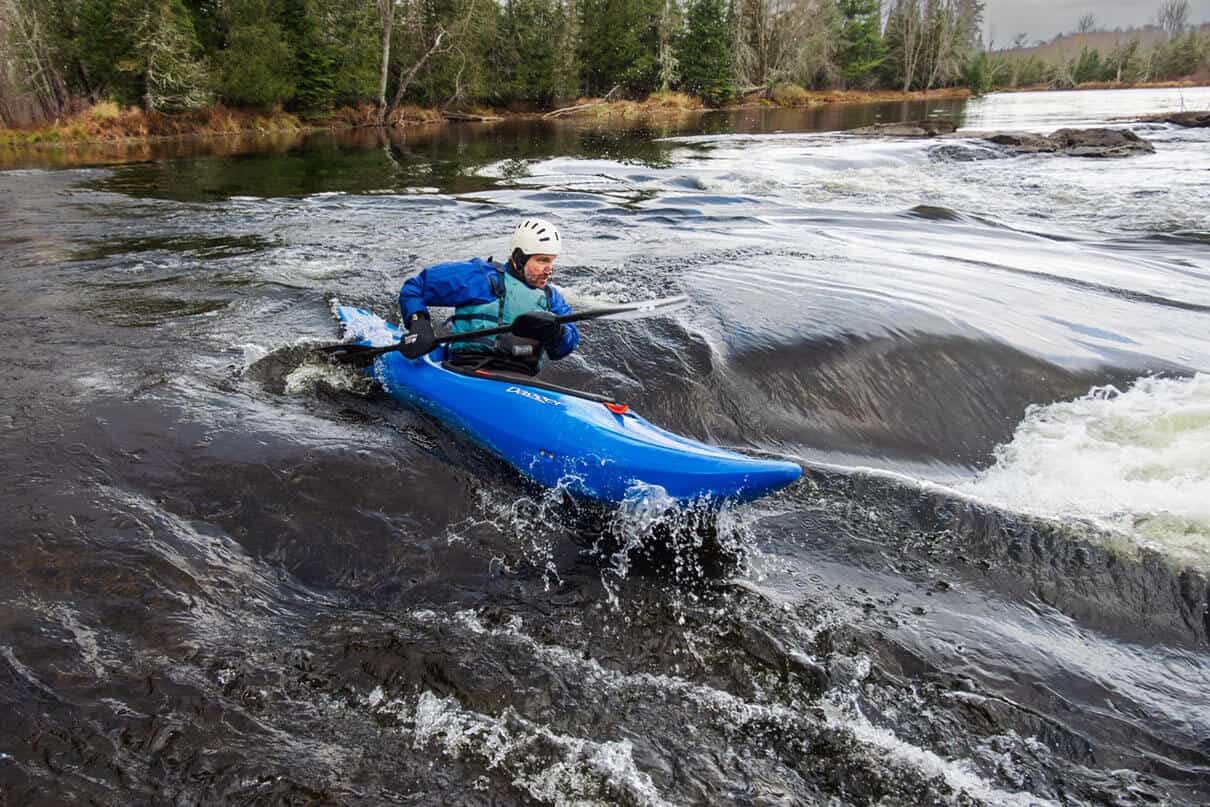
A pleasant little bobble on an intimate stream, this makes a fine trip for canoes or recreational kayaks. Be prepared for quick navigation/negotiation as you are likely to encounter deadfall and snags (in addition to *a couple of private footbridges which may span the stream around CTH.CJ*, if I recall correctly). Gradient in the first half-mile is about 55 FPM, and diminishes into 30's, 20's and teens as one proceeds to a mile, a mile-and-a-half, and the full extent of the run (2.34 miles) as detailed here.
Trip may be shortened to just 0.7 miles (at CTH.CJ) or 1.25 miles (at CTH.J).
Put-in is on private property at a Girl Scout property at Camp Evelyn (please ask permission to access the river and to leave a vehicle here).
Take-out is at one of three highway/road crossings.
Difficulty
Class I-II
Length
1.2 mi
Gradient
30 ft/mi
max 45
Rapids
5
Access Points
Difficulty Classes
I Easy
II Novice
III Intermediate
IV Advanced
V Expert/Extreme
VI Unrunnable
Current Conditions
5-Day Forecast
Whitewater data from
American Whitewater
American Whitewater