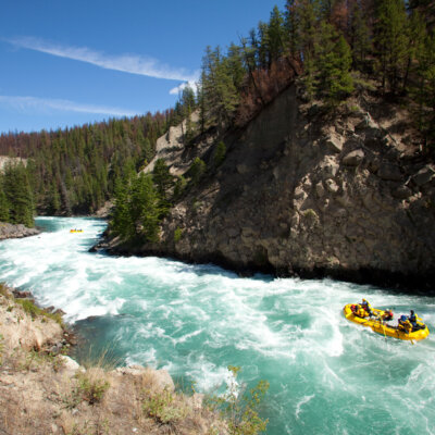
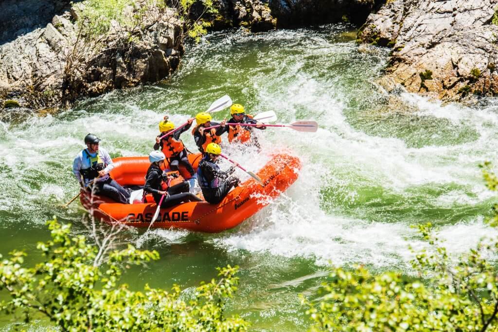
Couderay Village Park to Chippewa River ( 7.6 miles)
Linked via: Manual fix 100% confidence Synced 6mo ago
Gauge Conditions
Runnable: ? – ? CFS
Approximate reading: This gauge is 11.6 miles away on Couderay. Use as a general reference only.
Data from American Whitewater & USGS
Run Map
Run Time Estimate
Select put-in and take-out to estimate time.
Unlock Advanced Trip Planning
See wind-adjusted speed maps, forecast planning, and detailed time estimates.
Sign in to generate an AI timing estimate for this run.
Whitewater timing varies with scouting, portages, and group pace. Use as a planning baseline.
Description
This tributary of the Chippewa River has a nice bit of gradient. Shorter runs are available to focus on the main gradient which parallels the Arpin Dam/Belille Falls section.
GAUGE INFO: Based on relative drainage areas, flow at our listed put-in could be 0.183 x Chippewa at Winter. Our 'Virtual Gauge' being reported for this section is based upon that calculation. Correlation is not assured.
NOTE: The "Tuscobia State Trail" (a 74-mile abandoned railroad, now multi-use trail) roughly parallels Hwy.70 from Couderay to Radisson, and could be used to facilitate biked shuttle for the first 5.35 miles of this listed run. (As of this writing, it does NOT appear that any trail fee applies to biking this trail. There are disclaimers that "bicycling is not recommended. The trail is not groomed or surfaced and
may be rough or soft in many sections. If you plan to bike the trail,
the tread is more suitable for off-road bikes." )
Difficulty
Class I-II
Length
7.6 mi
Gradient
10 ft/mi
max 25
Rapids
6
Access Points
Difficulty Classes
I Easy
II Novice
III Intermediate
IV Advanced
V Expert/Extreme
VI Unrunnable
Current Conditions
5-Day Forecast
Whitewater data from
American Whitewater
American Whitewater