County Route 60 (Sipsey Recreational Area) to State Route 33
Linked via: Proximity 99% confidence Synced 6mo ago
Gauge Conditions
Runnable: 200.0 – 1,000.0 CFS
Data from American Whitewater & USGS
Run Map
Description
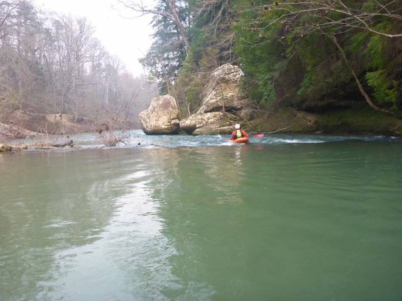
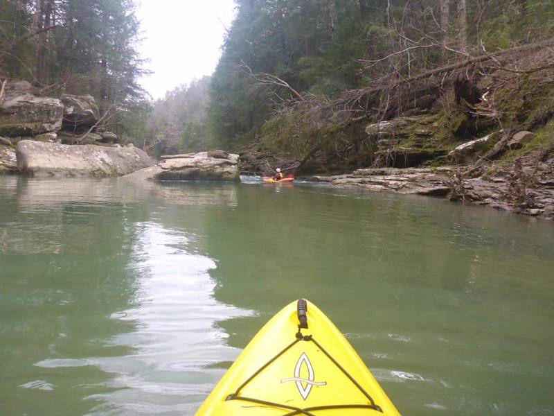
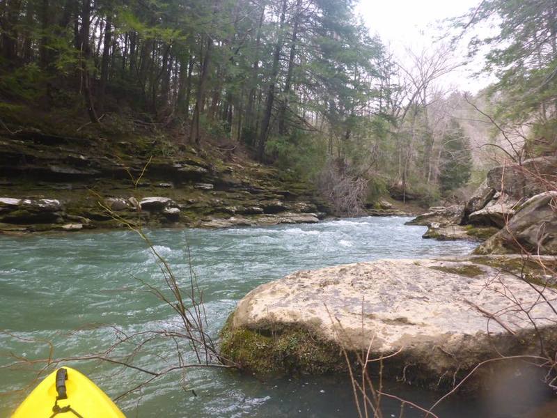
Alabama's only "Wild and Scenic" River. Optimal level is between 200-350 cfs. At this range a float down the Sipsey will take approximately 4-5 hours.
The many side creeks and waterfalls which flow into the Sipsey in addition to the steep, vertical canyon walls and hemlock trees make for outstanding scenery.
There are a few shoals which break up the relatively calm, but moving water. There is one named rapid, referred to as "100 Yard Dash."
Take caution to stay away from the downed trees, as wood does seem to accumulate in places.
_Alabama Canoe Rides and Float Trips_, Froshee, John; also Olivia Barton
See also www.alabamawhitewater.com.
Rapids in this Run (3)
Difficulty
Class I(II)
Length
9.5 mi
Gradient
3 ft/mi
Rapids
3
Access Points
Difficulty Classes
I Easy
II Novice
III Intermediate
IV Advanced
V Expert/Extreme
VI Unrunnable
Current Conditions
5-Day Forecast
Whitewater data from
American Whitewater
American Whitewater