Cty 102 to Lake Superior (5.5 miles)
Linked via: Nhdplus discovery 90% confidence Synced 6mo ago
Gauge Conditions
Runnable: 200.0 – 1,000.0 CFS
Uncertain about best flows. Help us out! Add a comment.
Data from American Whitewater & USGS
Run Map
Run Time Estimate
Select put-in and take-out to estimate time.
Unlock Advanced Trip Planning
See wind-adjusted speed maps, forecast planning, and detailed time estimates.
Sign in to generate an AI timing estimate for this run.
Whitewater timing varies with scouting, portages, and group pace. Use as a planning baseline.
Description
Generally a pleasant easier run in this mecca of creek runs. Caution should be excercised at a ledge sequence encountered about a mile and a half into the run and the ledge visible from the wayside just downstream of Hwy 61. Can be used as a warm-up or wind-down in conjunction with adjacent creeks.
From 'Northwoods Whitewater' by Jim Rada:
'After having heard about the Knife from an open boater, after having looked at it on topo maps and after having hiked in to look at a dry riverbed, I finally got to run the Knife in April 1991. It was actually a nice short intermediate run and I was amazed how many times I drove past it before giving it a chance.
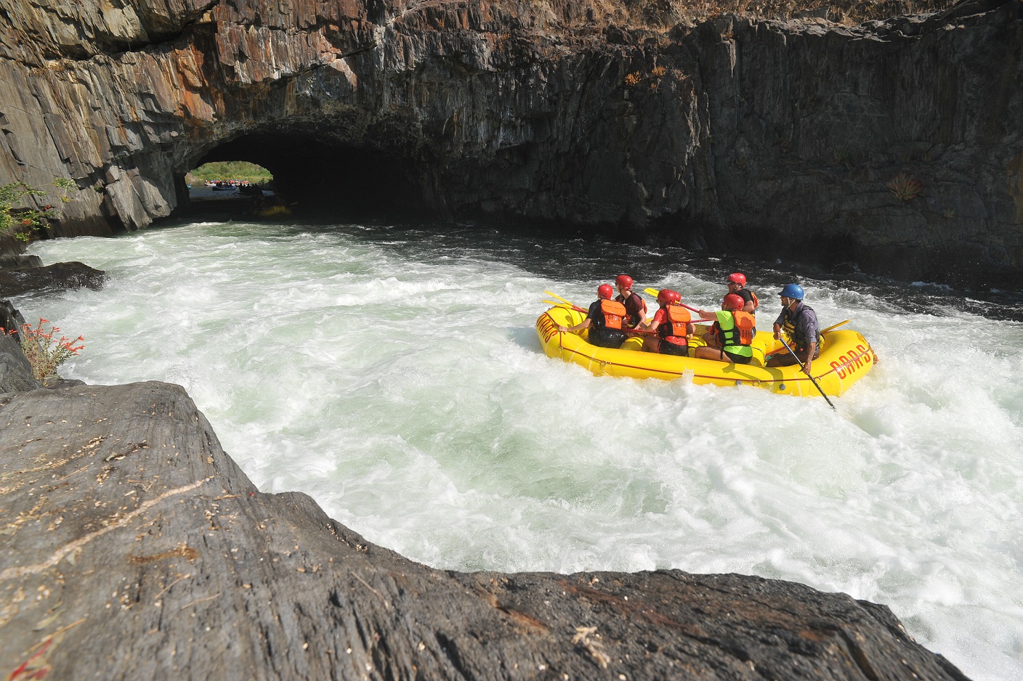
One possible takeout for a three mile run is the wayside reste on river left just downstream of the Duluth-Two Harbors Expressway. The large, multi-step ledge you see at the wayside rest are is atypical of the river. It's far and away the biggest drop on the run and is easily avoided by taking out on the left above it. On river right is a USGS river gauge, and readings from this have been used to make the hydrograph found elsewhere in this book.
Another takeout option is right at Lake Superior in the town of Kife River. Chris Nybo has recommended this option, telling me that there's some interesting water in the last half mile to the Lake. The view of Kife Island is another bonus for those who run the last piece down to the Lake.
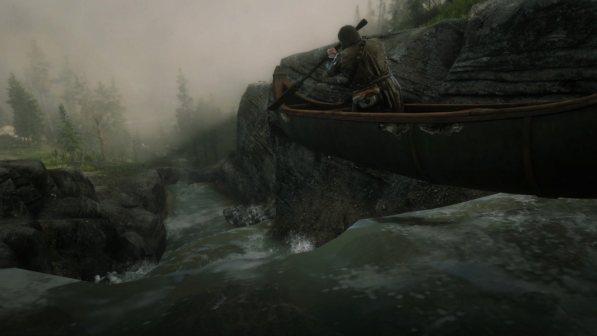
The put-in for the run is the Lake County 102 bridge, reached by driving two thirds of a mile east of the Kife on the Expressway and then turning north on 102. You'll come to the river in a couple of miles. The first mile and a half of this 3.5 mile run is just swiftwater and class I boulderbed. You'll pass red clay banks that taint the water, a group of log structures and then encounter a couple of small ledges.
The calm is broken when you reach a sharp ledge 6 or 7 feet high. It can easily be portaged on the right, but it also has a 'ramp' on the right making it an easy slide. An island in the middle separates the ramp from a curving, three ledge stairstep that is a bit tricky, but fun. I've heard this stairstep referred to as the 'Fish Ladder.' The ramp is simple; the Fish Ladder is a III-IV proposition.
From this ledge to the takeout you'll have about a mile and a half of class II-II+ whitewater. The first two-thirds mile of this is the best - lots of small, smooth redrock walls decked with cedars and some nice pines. It was medium going on low when I ran it, and there were some small play spots. Apparently at high water there are some nice play features.
The banks fade away and the riverbed changes to boulders, as the river continues to plug along at class II intensity. Under the Expressway bridge and you're at the rest area, so take out lefr or scout the big ledge either left or right. I found a constricted chute on the extreme left to be a fun class IV run at the water level I encountered. All that's left after the big ledge is the last half-mile of interesting stuff to the Lake for those who want a bit more.
I'd think this run would please a lot of boaters - a short after-work run for Duluth paddlers, a good run for intermediate kayakists and experienced open boaters to enjoy. This run gives a little taste of North Shore scenery below the upper ledge and is large enough to not have a lot of sweeper danger. Its nature is such that it would be a good high water run when some rivers might be dangerously high. As a bonus the easy access at put-in and takeout makes this a good 'quickie' run. You do a mile and a half of flatwater for an equal amount of interesting class II witha couple of drops to add zest or an easy portage. Not bad for a rier I've passed by for fifteen years!'
Rapids in this Run (6)
Waterfalls (1)
Difficulty
Class II-III(IV)
Length
6.2 mi
Gradient
45 ft/mi
max 80
Rapids
6
Access Points
Difficulty Classes
I Easy
II Novice
III Intermediate
IV Advanced
V Expert/Extreme
VI Unrunnable
Current Conditions
5-Day Forecast
Whitewater data from
American Whitewater
American Whitewater