D) Tibbets Falls: Plains Rd to Sturgeon Gorge Rd (0.2 up to 7.5 miles) Wild
Linked via: Nhdplus discovery 90% confidence Synced 6mo ago
Gauge Conditions
Runnable: 400.0 – 2,000.0 CFS
Almost certainly too low.
Data from American Whitewater & USGS
Run Map
Put-in
Take-out
Rapids/Hazards
Wild
Scenic
Recreational
Run Time Estimate
Select put-in and take-out to estimate time.
Unlock Advanced Trip Planning
See wind-adjusted speed maps, forecast planning, and detailed time estimates.
Sign in to generate an AI timing estimate for this run.
Whitewater timing varies with scouting, portages, and group pace. Use as a planning baseline.
Description
NOTE regarding gauge ranges: We do not have first-hand awareness of runnable levels, thus ALL COLOR CODING and ALL GAUGE RANGES ARE TENTATIVE! We need your input! Create a 'Trip Report' stating listed flow and your impressions (low/moderate/high).
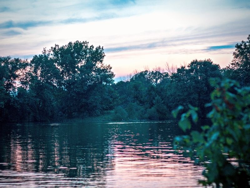
The principal attraction to this reach lies within the first mile and a half, through the sequence of ledges known as Tibbets Falls. From the Plains Rd bridge, boulderbed rapids increase as they lead to the 'falls' proper. The largest ledge is only around 4-5' in height (so this is really more a rapids than a true falls), but can generate a wicked hydraulic at higher flows. A steep 'S' turn rapid finishes the sequence, followed by boulderbed that eases off into little more than miles and miles of moving water.
There is parking and a riverside trail (river-right along the whole first 1.5 miles) to access Tibbetts Falls for viewing, scouting, and take-out if a short trip including just the falls is desired. This access/take-out point may be reached by driving north from the listed put-in and turning onto the first dirt road to the left (less than 1/2 mile). From here, look for the second two track road to the left, turn and drive to a small parking area at the end. There is a trail which leads down to the river at this point. In early season expect this road will be impassible or 4WD only.
Beyond the initial (1.2 mile) sequence, the remainder of the reach is primarily flat, with class I-II boulder bed encountered in the final mile or so. Take-out is at Sturgeon Gorge Road Campground or a pull-off just beyond (if campground is closed and impassible).
Difficulty
Class I-II(IV)
Length
7.3 mi
Gradient
26 ft/mi
max 71
Rapids
7
Access Points
Shuttle Info
Most boaters who do this reach will opt only for the first 1.5 miles, doing a carry-up/carry-out run. Therefore, the shuttle directions which follow are likely to be ignored. However, use the text-entry box to input your home or other starting location to get drive time, distance, and directions to this put-in.
Difficulty Classes
I Easy
II Novice
III Intermediate
IV Advanced
V Expert/Extreme
VI Unrunnable
Current Conditions
5-Day Forecast
Whitewater data from
American Whitewater
American Whitewater