D) Wausau Slalom Course (0.35 mile modified natural channel)
Linked via: Proximity 52% confidence Synced 6mo ago
Gauge Conditions
Runnable: ? – ? CFS
Approximate reading: This gauge is 5.1 miles away on Wisconsin. Use as a general reference only.
Data from American Whitewater & USGS
Run Map
Run Time Estimate
Select put-in and take-out to estimate time.
Unlock Advanced Trip Planning
See wind-adjusted speed maps, forecast planning, and detailed time estimates.
Sign in to generate an AI timing estimate for this run.
Whitewater timing varies with scouting, portages, and group pace. Use as a planning baseline.
Description
If a picture is worth a thousand words, a video is worth even more. Here's a video showing the features and improvements on the Wausau course as of 2022: _https://www.YouTube.com/watch?v=f2u-MeBQ1sE_
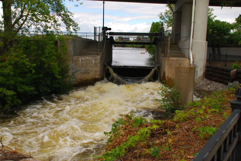
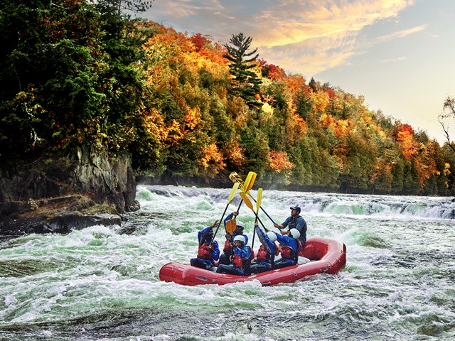
Located in Whitewater Park just a few blocks from downtown Wausau, WI. this site allows easy access for boaters and spectators, and is a point of pride for the community.
Back in the 1970's, area boaters recognized the potential for a whitewater course in what was a 'bypass channel' at a dam in downtown Wausau. Working with city and state authorities, permissions were granted to clear years of accumulated brush and debris and to make enhancements to the channel to creat ( or enhance) waves, play holes and strategic eddies. In the decades that followed Wausau Whitewater Park has been the host of multiple World Cup, National, North American and World Championship events for both kayak and canoe and continues to be a venue for both recreational and competition each year.
Flow for a standard release is 650 cfs. Paddlers must have proper equipment, sign a waiver, and pay a usage fee: $20/ day, $30/weekend, ( plus either ACA membership or a payment in lieu for insurance coverage), though 'special events' may have different fee structures.
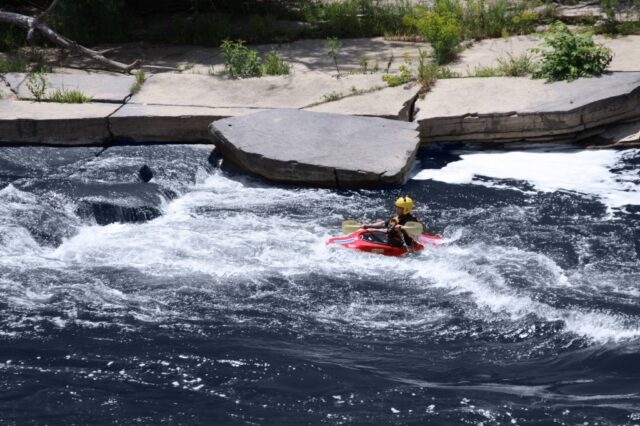
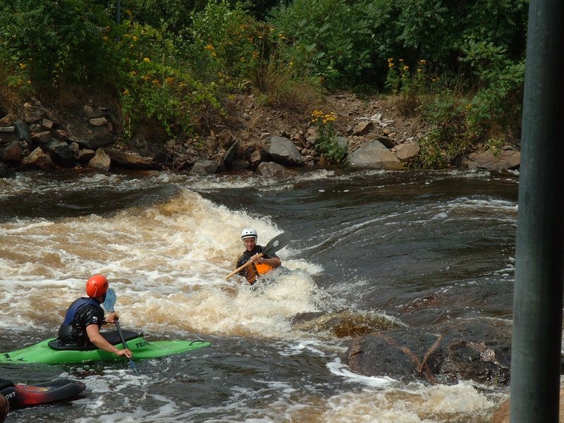
The Wausau Whitewater course is 1/3 mile in length with more than 11 whitewater features for paddlers of all skill levels from beginner to advanced. The bottom of the course features are easier with more advanced features upstream. Sidewalks, seating and easy boater access along the rivers edge throughout the course allow boaters to play all or any part of the course they'd like. For more info on events, rec releases or to learn to kayak classes, go to www.wausauwhitewater.org
NOTE: The gradient figure of 125 feet per mile cited above is technically not correct, and works out closer to 100 feet per mile, so while it can be a little 'pushy' in the middle of the 1/3 mile course where more of the gradient is, it is slow and easy at the bottom of the course where most of the gradient is not and beginner/intermediate boaters often play.
Rapids in this Run (6)
Waterfalls (1)
Playspots (8)


Hazards & Portages (1)
Caution: The following locations may require scouting or portaging. Always check current conditions.
Difficulty
Class II-III
Length
0.3 mi
Gradient
125 ft/mi
Rapids
6
1 Hazard
Access Points
Shuttle Info
Since this lies entirely within a riverside city park, 'shuttle' is via carrying up. We therefore have defaulted the directions below to give you generic drive time, distance, and directions from your home zipcode. Use the text entry box below to fill in your actual home or other starting address for more specific drive time, distance, and directions to this park.
Difficulty Classes
I Easy
II Novice
III Intermediate
IV Advanced
V Expert/Extreme
VI Unrunnable
Current Conditions
5-Day Forecast
Whitewater data from
American Whitewater
American Whitewater