Dark Lake to Carpenter Road/FR481 (7.1 or 8.3 miles)
Linked via: Proximity 97% confidence Synced 6mo ago
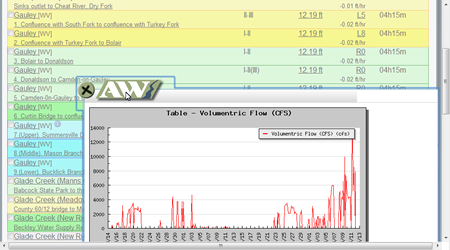
Gauge Conditions
Runnable: ? – ? CFS
Approximate reading: This gauge is 10.7 miles away on Dark. Use as a general reference only.
Data from American Whitewater & USGS
Run Map
Run Time Estimate
Select put-in and take-out to estimate time.
Unlock Advanced Trip Planning
See wind-adjusted speed maps, forecast planning, and detailed time estimates.
Sign in to generate an AI timing estimate for this run.
Whitewater timing varies with scouting, portages, and group pace. Use as a planning baseline.
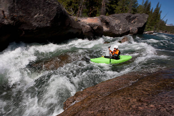
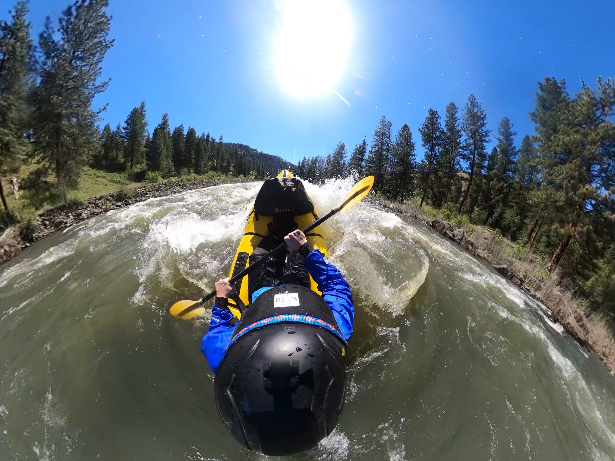
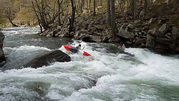
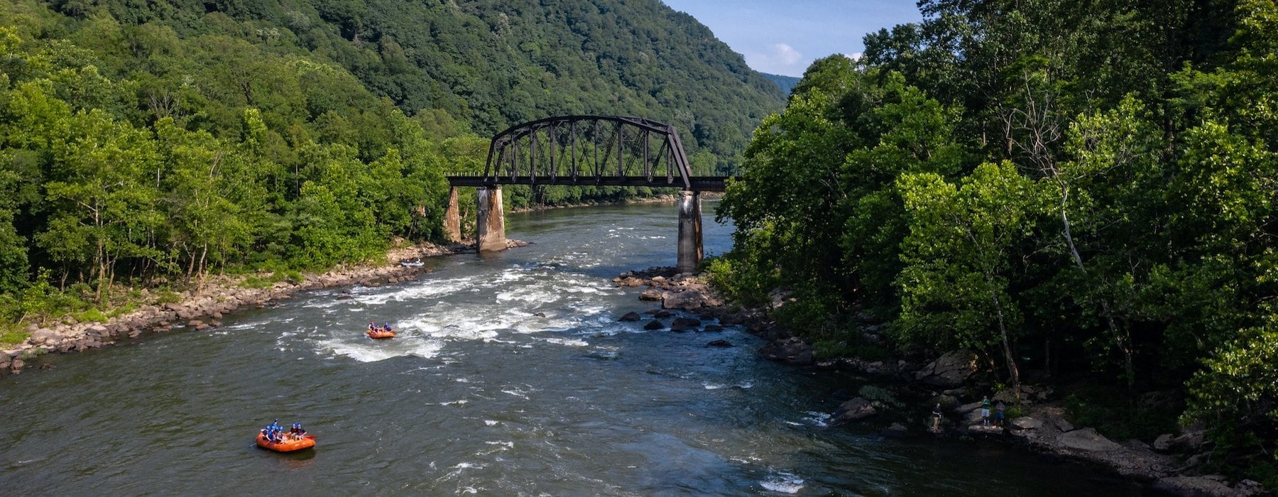
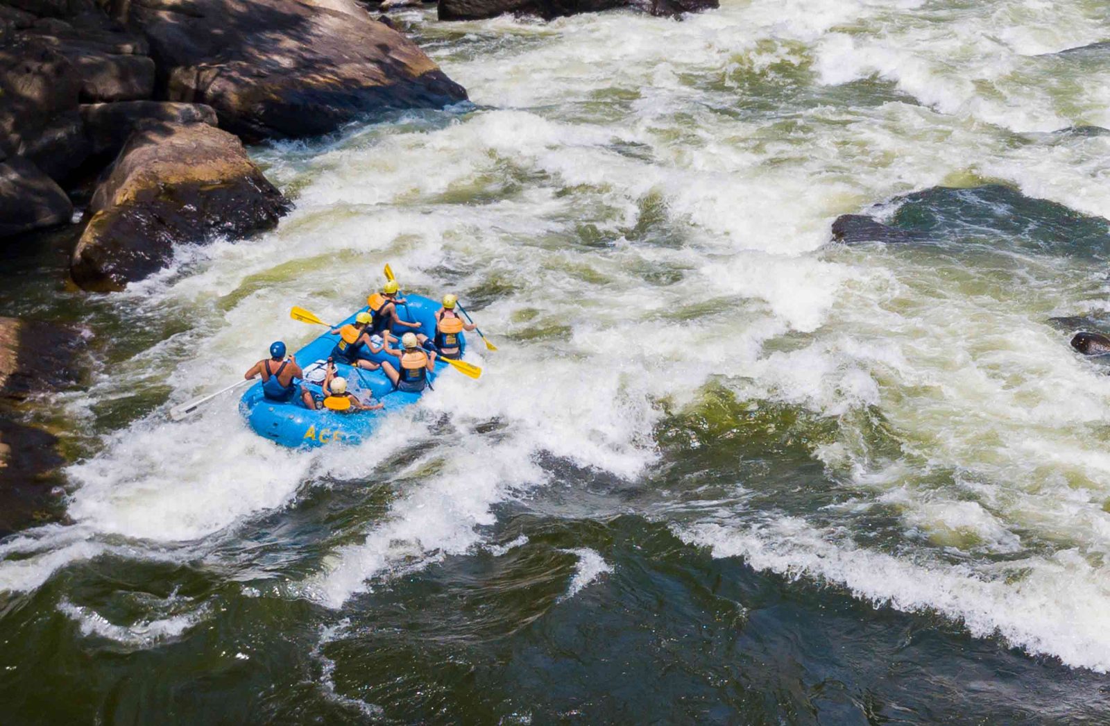
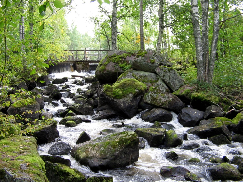
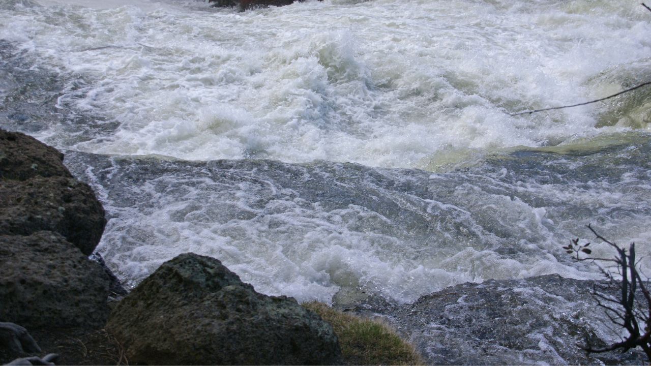
Description
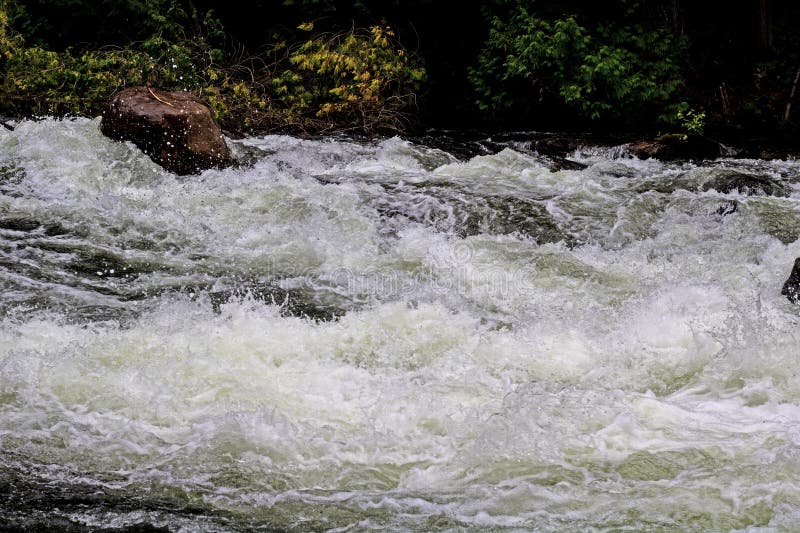
Overall gradient is not all that high due to a fair amount of flatwater (ok, that's pretty typical for the Midwest), but you will find some good areas of gradient. Size is pretty decent (50 sq.mi. drainage at former USGS gauge site at listed take-out), so it should be boatable a decent number of times each year. Aerial views online appear to show a good number of stretches which look interesting.
So . . . has anyone paddled this stretch? Help out your fellow paddlers with some first-hand information via the "Add a Comment" button which should appear below for all registered, logged-in users of this website. Or, add a 'report' (with photo(s)/video(s), if possible).
Rapids in this Run (14)
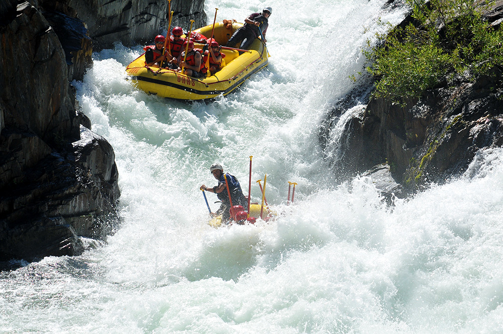
Difficulty
Class II-III
Length
6.4 mi
Gradient
10 ft/mi
Rapids
14
Access Points
Difficulty Classes
I Easy
II Novice
III Intermediate
IV Advanced
V Expert/Extreme
VI Unrunnable
Current Conditions
5-Day Forecast
Whitewater data from
American Whitewater
American Whitewater