Dickey Junction to Eula (4.3 miles)
Linked via: Nhdplus discovery 90% confidence Synced 6mo ago
Gauge Conditions
Runnable: 6.0 – 12.0 FT
Data from American Whitewater & USGS
Run Map
Run Time Estimate
Select put-in and take-out to estimate time.
Unlock Advanced Trip Planning
See wind-adjusted speed maps, forecast planning, and detailed time estimates.
Sign in to generate an AI timing estimate for this run.
Whitewater timing varies with scouting, portages, and group pace. Use as a planning baseline.
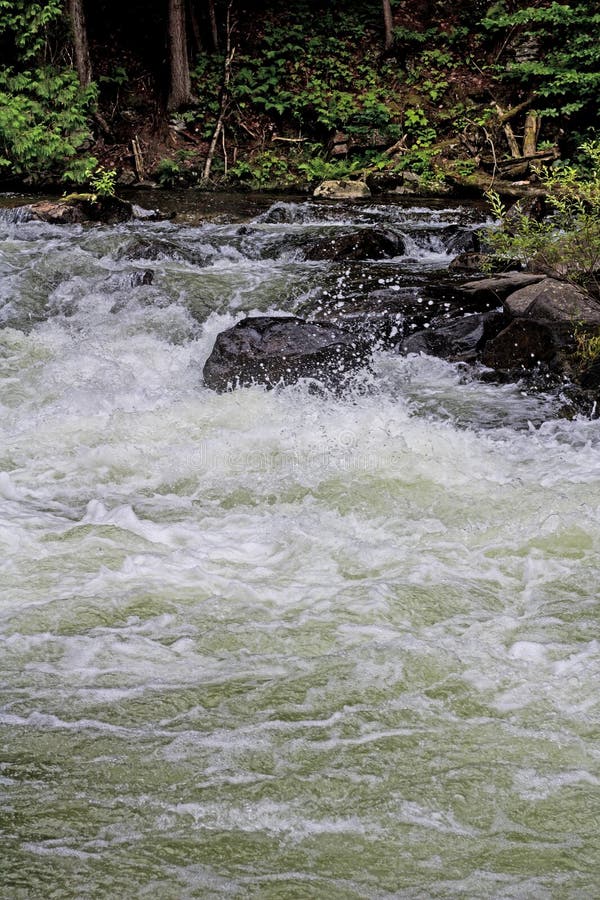
Description
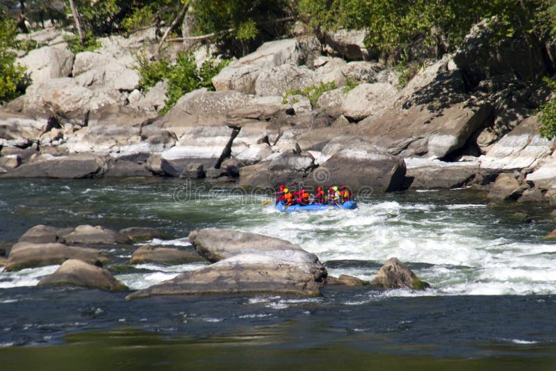
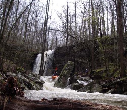
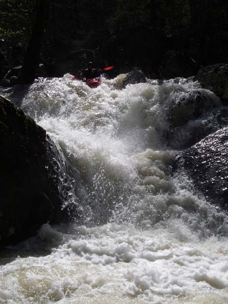
Very steep Ozark creek with big drops, lots of pin potential, undercuts and wood to watch for. Some drops offer large powerful holes. Portages & scouting can be long and difficult.
Total Run is 4.3 miles with a total drop of 800 feet = 185 fpm average gradient
Upper Gorge is 0.5 miles with total drop of 200+ feet (400+ fpm)
Lower Gorge is 0.6 miles with total drop of 200+ feet (330+ fpm)
Each gorge has a 0.25 mile section topping 500 fpm.
The upper gorge is fed by a just over a square mile watershed.
The lower gorge is fed by over 4 square miles.
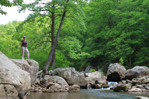
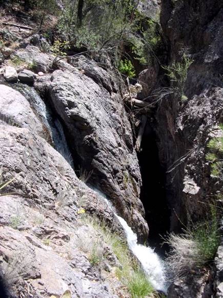
Very impressive and unique features including 'Landbridge' and 'Punchbowl Falls'.
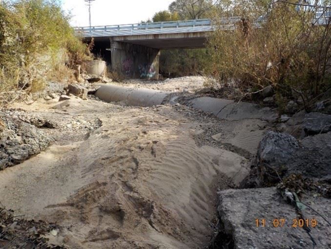
Put-in can be reached via an old road 0.5 miles NE of Dickey Junction (intersection of Newton County roads 5080 and 5085 aka Richland Creek Road and Richland Road).
The top of the lower gorge can be accessed via the Ozarks Highlands trail from Richland Road.
Take-out is reached by following Newton County 5085 that changes to Searcy County 12 (Richland Road) to the North toward Eula. Just after descending the hill and passing the cascade on the left flowing off the NE side of Stack Rock, look for the first road to the left (Hoot Owl). This is located just before the access to the Lower Richland Creek takeout.
Follow this road around the hill to a NFS gate overlooking some wildlife game fields next to the creek.
When looking for the takeout from the creek, note when the creek flows into and under a large bluff on river left. The bluff is about 100-yards long and overhangs the entire creek. Takeout at the end of the bluff on the right and hike up to the gate.
There are some roads below here, but all on private land.
Rapids in this Run (2)
Hazards & Portages (7)
Caution: The following locations may require scouting or portaging. Always check current conditions.
Difficulty
Class IV-V+
Length
4.3 mi
Gradient
185 ft/mi
max 400
Rapids
2
7 Hazards
Access Points
Difficulty Classes
I Easy
II Novice
III Intermediate
IV Advanced
V Expert/Extreme
VI Unrunnable
Current Conditions
5-Day Forecast
Whitewater data from
American Whitewater
American Whitewater