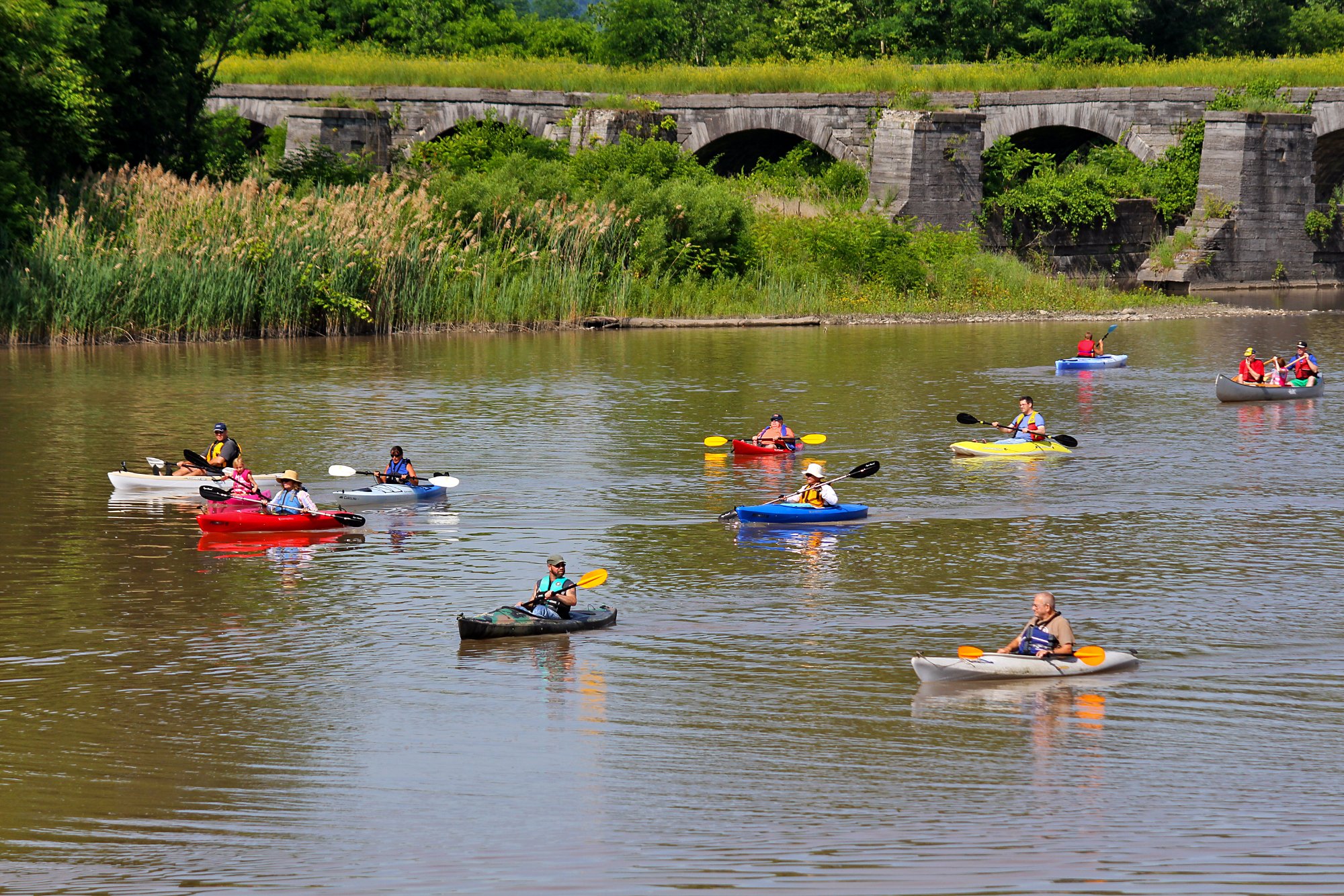
Esperance to Fort Hunter
Linked via: Proximity 89% confidence Synced 6mo ago
Gauge Conditions
Runnable: 550.0 – 6,000.0 CFS
Data from American Whitewater & USGS
Run Map
Run Time Estimate
Select put-in and take-out to estimate time.
Unlock Advanced Trip Planning
See wind-adjusted speed maps, forecast planning, and detailed time estimates.
Sign in to generate an AI timing estimate for this run.
Whitewater timing varies with scouting, portages, and group pace. Use as a planning baseline.
Description
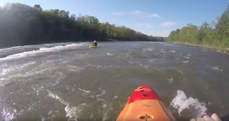
1: Esperance to Burtonville - 4.25 miles
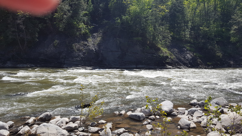
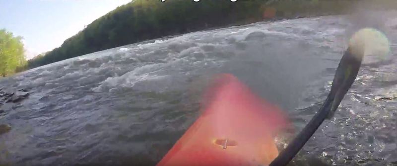
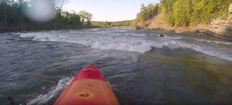
The access point in Esperance is at the end of Steuben St. There is a small dirt pulloff with enough room for around 3 cars, and a gravel path that leads into the water. This section starts with a long section of flat water, but then enters a gorge where the water picks up considerably. It ends with the biggest drops near the Burtonville Bridge. There are 7 distinct river-wide ledge drops, and two solid playspots, including a park-and-play at Burtonville.
\-\-\-------------
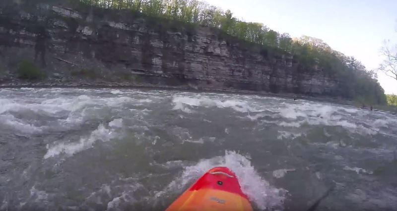
2: Burtonville to Mill Point - 8 miles
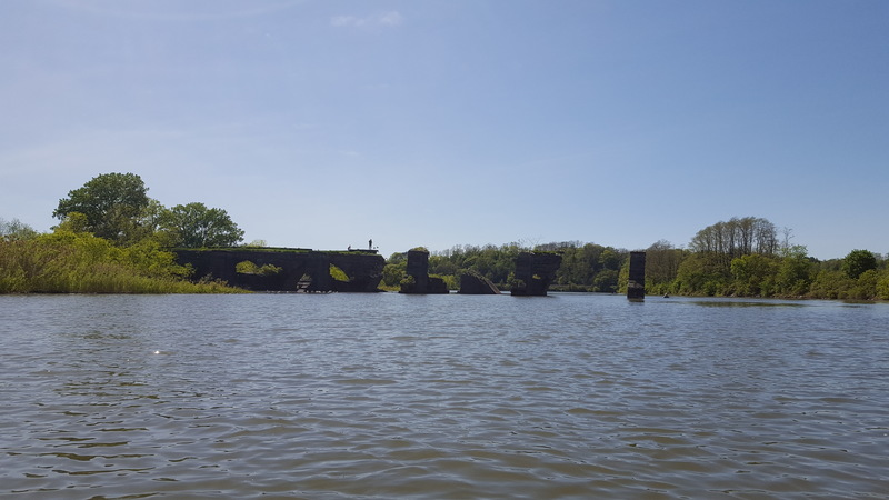
The access point at Burtonville is the fishing access next to the Burtonville Bridge. It is a medium sized parking area with room for several cars. From Burtonville to Mill Point there is a lot of class II and some class III (especially as water levels reach 3.0cfs on the Burtonville gage). This is an enjoyable section with beautiful scenery and several sections of rapids. There are the remains of a dam below Lost Valley that provides a wave to surf. Stay river right of the island and there are often waves in the narrow channel. A quarter mile farther, under the 300 foot cliffs there are three small ledges the river drops over. Don't miss noticing the falls coming off the cliff to your left.
\-\-\-------------
3: Mill Point to Fort Hunter - 6.5 miles
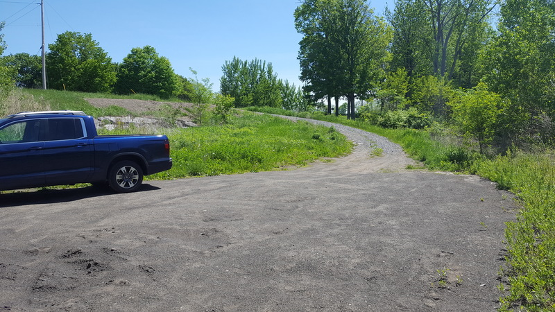
The access point at Mill Point is underneath the bridge. There is a small gravel "road" leading underneath the bridge with enough room for 3 or 4 cars to park. There is a small pool to put-in or take-out. To join the main flow you'll need to paddle upstream a short way, then run the first rapids underneath the bridge.
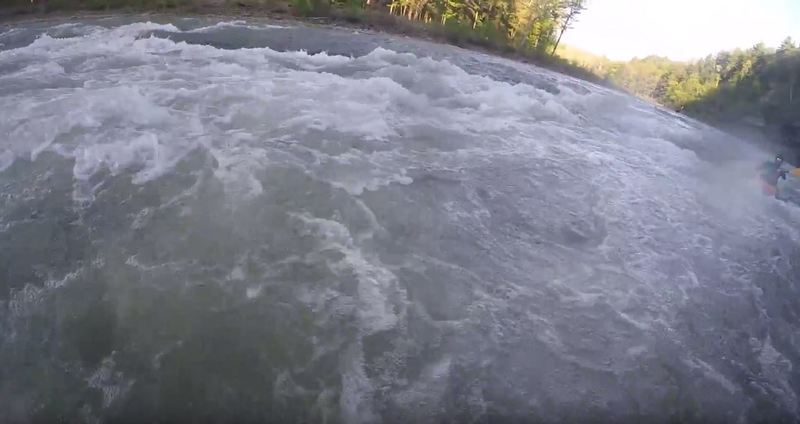
This section is milder than the ones above, but still has some solid class II and one that approaches a class III. The first mile will have sets of class I-II, then you'll hit the narrows, a section that is class II+ even at low water levels. Watch out for holes on river left and center. There is a convenient pulloff on river-right that is a good place to scout the drop. Shortly after the narrows you'll come to a large set of powerlines that mark about 2 miles of class II rapids, one after the other. There are several "islands" along this section. In general, the bigger faster water goes left of the islands, and the shallower easier water is river-right. About 3 miles into the run you'll pass a farm on river-right that marks the end of the hardest rapids, and the start of a long section of class I and flat water to the Mohawk.
Take-out for this run is at Fort Hunter at the boat launch and park. It has a very large parking area with a playground, picnic tables, and grills.
---------------
CFS changes dramatically on the Schoharie Creek, at 2 feet the gage shows 1580 cfs, at three feet 4430, and at 8 feet 36,300. The Creek runs 40,000 cfs or over during Spring runoff or a rainy autumn week. Since the work has been taking place on the Schoharie Reservoir and the tube is sending water into the Esopus the Schoharie Creek is over 2 feet less often.
Mohawk Valley Area Reaches
Canajoharie Creek Caroga Creek Cincinnati Creek
East Canada Creek Fish Creek, E. Branch Ninemile Creek
North Chuctanunda Creek Nowadaga Creek Mohawk (1.)
Oriskany Creek (Clinton)Oriskany Creek (Oriskany Falls) Schoharie Creek
Sprite Creek (Upper) Sprite Creek (Lower) Spruce Creek
Timmerman Creek West Canada Creek
Capital Region Area Reaches
Basic Creek Batten Kill Claverack Creek
Cobleskill Creek Fox Creek Hannacrois Creek
Hoosic Hudson (Lock 2) Kinderhook Creek (1.)
Kinderhook Creek (2.) Kinderhook Creek (3.) Kline Kill
Normans Kill (1.) Normans Kill (2.) North Chuctanunda Creek
Mohawk (Upper Cohoes Wave) Mohawk (Cohoes Wave) Poesten Kill (0.)
Poesten Kill (1.) Poesten Kill (2.) Quacken Kill
Schoharie Creek Stony Kill Wyant's Kill
Google Map of New York Whitewater
New York Whitewater Paddlers Facebook Group
Rapids in this Run (12)
Playspots (3)
Hazards & Portages (1)
Caution: The following locations may require scouting or portaging. Always check current conditions.
Difficulty
Class I-III
Length
19.0 mi
Gradient
14 ft/mi
max 25
Rapids
12
1 Hazard
Access Points
Difficulty Classes
I Easy
II Novice
III Intermediate
IV Advanced
V Expert/Extreme
VI Unrunnable
Current Conditions
5-Day Forecast
Whitewater data from
American Whitewater
American Whitewater