Fayle Road to Nobleboro
Linked via: Nhdplus created 95% confidence Synced 3mo ago
Gauge Conditions
Runnable: 2,500.0 – 10,000.0 CFS
From two comments, anything less than 2000 is too scrapy, and 2000 is pretty bony, too. The upper limit is a rough estimate. If it looks good to you, go ahead
Data from American Whitewater & USGS
Run Map
Description
The South Branch of The West Canada:
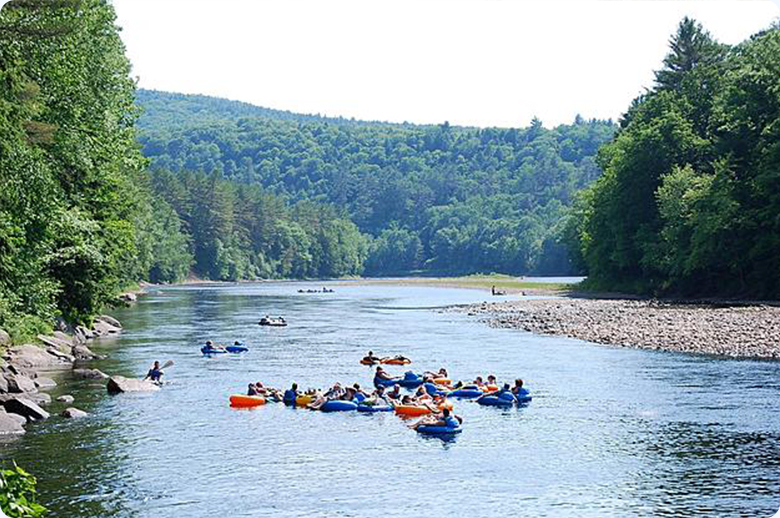
This is an exciting stretch of river. It follows route 8 south from Fayle Road to the Bridge at Nobleboro. The scenic lookout at Nobleboro (Haskell Road) is a great place to meet up with fellow paddlers.
15 - 20 minutes of flatwater paddling warms you up after the put-in. About a mile or more of Class II, a short break and then 2+ miles of II-III. This is a fast run, less than 2 hours to cover over 5 miles of water. It is rocky at low levels and really pushy at higher levels.
For a full day of paddling combine this with West Canada, North Branch: Big Brook to Route 8
Other rivers nearby:
- West Canada, Ohio Gorge
- West Canada, Trenton Falls to Herkimer
Tug Hill - Old Forge Area Reaches
Beaver (1. Moshier)Beaver (2. Eagle) Beaver (3. Taylorville)
Black (1.) Black (2.) Black (3.)
Black (4.) Black (5.) Black, S. Branch
Cincinnati Creek Crystal Creek Deer River (Section 1)
Deer River (Section 2) Fish Creek, E. Branch Independence River (1. Upper)
Independence River (2. Main) Indian (S.Br. Moose trib.) Little Black Creek
Little Woodhull CreekMad River Mill Creek
Mohawk (1.) Moose (1. Middle) Moose (2. Lower)
Moose (3. Bottom)Moose, Middle Branch Moose, S. Branch (1.)
Moose, S. Branch (2.) Negro Brook Otter Creek
Roaring Brook (Brokeback Gorge) West Canada Creek (1.) West Canada Creek (2. Ohio Gorge)
West Canada Creek, S. BranchWoodhull Creek (Upper) Woodhull Creek (Middle)
Woodhull Creek (Miracle Mile)
Google Map of New York Whitewater
New York Whitewater Paddlers Facebook Group
Rapids in this Run (2)
Playspots (1)
Difficulty
Class II-III+
Length
5.3 mi
Gradient
36 ft/mi
Rapids
2
Access Points
Difficulty Classes
I Easy
II Novice
III Intermediate
IV Advanced
V Expert/Extreme
VI Unrunnable
Current Conditions
5-Day Forecast
Whitewater data from
American Whitewater
American Whitewater