Finney Creek Rd. Bridge to bridge above Devils Den Falls on Finney Creek Rd.
Linked via: Proximity 96% confidence Synced 6mo ago
Gauge Conditions
Runnable: ? – ? CFS
Approximate reading: This gauge is 8.3 miles away on Finney Creek. Use as a general reference only.
Data from American Whitewater & USGS
Run Map
Run Time Estimate
Select put-in and take-out to estimate time.
Unlock Advanced Trip Planning
See wind-adjusted speed maps, forecast planning, and detailed time estimates.
Sign in to generate an AI timing estimate for this run.
Whitewater timing varies with scouting, portages, and group pace. Use as a planning baseline.
Description
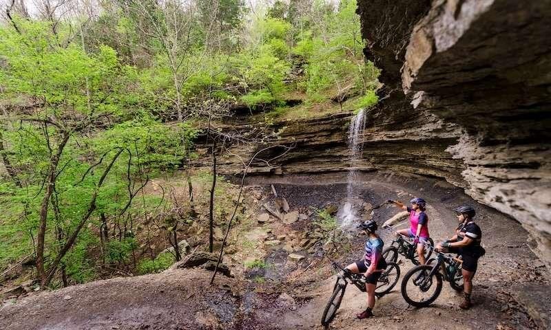
Finney creek is weirdly almost roadside whitewater that runs through a steep walled canyon that is almost invisible from the road. Both the put in and take out are on Finney Creek Rd. The take out is just above a double drop in a near vertically walled box canyon. This is locally named Devils Den falls. Not sure if it has been successfully boated but the safest and most logical takeout is just upstream of the bridge above the falls. The upstream put in is at a low bridge/ford on Finney Creek just past FS 20. Multiple other access points are available but this is the easiest to reach from the road. Finney Creek has numerous short micro gorges with a range of whitewater that range from waterfalls landing on rocks to class 3 so scouting your run is essential if you are not a solid class IV+ to V boater. The road in on river left almost the whole length of the run so hiking off is possible but often difficult.
After Devils Den the river looks like it is just a meandering low elevation stream.
Waterfalls (1)
Hazards & Portages (1)
Caution: The following locations may require scouting or portaging. Always check current conditions.
Difficulty
Class V
Length
3.2 mi
Rapids
0
1 Hazard
Access Points
Difficulty Classes
I Easy
II Novice
III Intermediate
IV Advanced
V Expert/Extreme
VI Unrunnable
Current Conditions
5-Day Forecast
Whitewater data from
American Whitewater
American Whitewater