Gilbertville
Linked via: Proximity 81% confidence Synced 6mo ago
Gauge Conditions
Runnable: 450.0 – 2,000.0 CFS
This flow range is an initial guess. If you know better numbers please send them to the Streamkeeper.
Data from American Whitewater & USGS
Run Map
Run Time Estimate
Select put-in and take-out to estimate time.
Unlock Advanced Trip Planning
See wind-adjusted speed maps, forecast planning, and detailed time estimates.
Sign in to generate an AI timing estimate for this run.
Whitewater timing varies with scouting, portages, and group pace. Use as a planning baseline.
Description
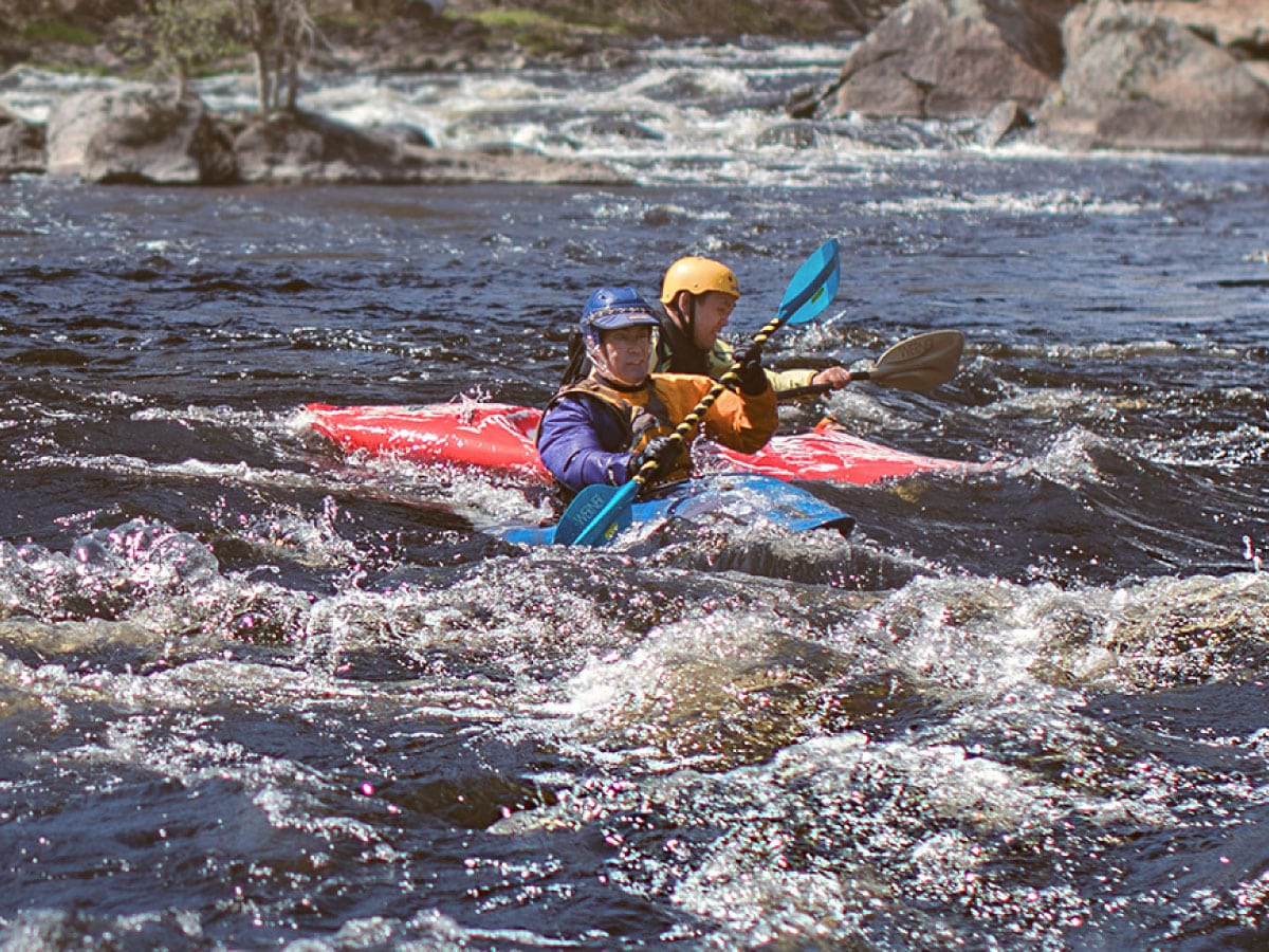
There is a nice section of the Ware R. in Gilbertville that has 2 miles of class II-III rapids when the water is high enough. Runs under a covered bridge midway. It is described in the AMC whitewater guide. In the past, when the Quabog is at 5' the Ware is nice and runnable, but this is not necessarily the case, because the Ware is controled by Barre Falls dam.
A longer run of 8 miles is possible that includes the rapids makes a pleasant combination quickwater/flatwater/whitewater trip, very scenic, especially in fall foliage.
Put in is where the river goes under Hardwick Road. That is Mass Access site 188 ( Mass. Office of Fishing and Boating Access#188 PDF).
Three or four miles of flatwater later the rapids start above Gilbertville.
Take out in Gilbertville and see where the river goes under Rt 32. The Gilbertville access, near the bottom of the rapids is site 187 ( Mass. Office of Fishing and Boating Access#187 PDF). You can also take out on Church street through someones field. That is posted 'No Trespassing' and has been used to dump trash and drink judging from the TV's and bottles left behind. While paddlers have had no problems, this takeout is not recommended.
It might be possible to take out at Greenville Park in Ware, roughly 3 miles past the rapids. There may be another Mass Access site in that location.
For just the rapids, put in at 42.305162N, -72.19363W. This is on the left bank, just above the RR bridge where the rapids begin, on Gilbertville Road. There is a small parking space across the road, and the river is immediately beside the road down a bank. Take out at the bridge on Upper Church Street two miles down at 42.284857N, -72.215874W. You don't have to traipse through the field (a grass landing strip). There is a path immediately after the bridge on river left that goes up the bank and you hop the bridge guardrail and are on the road, about 30 feet of carrying. There is a sign on the adjoining chainlink fence that says " _shore fishing allowed, please clean up afterward_". There isn't much parking along here, the shoulder is narrow because of the fence, so you might have to leave cars somewhere else nearby...
For the longer trip, put in at 42.343095N, -72.157431W, a canoe launch on Rt.32 beside the intersection and bridge of Harwick Road. Takeout is at 42.267571N, -72.227046W, a boat ramp/ fishing area in Grennville Park.
The whitewater run is short, but you can do it a few times. You can walk the distance back to the put-in if you're without a shuttle vehicle. (There's backroad shortcuts on the map across the loop the river makes.) There is also a canoe launch next to the Rt. 32 bridge in Gilbertville, midway down the rapids at 42.757775N, -71.463903W, and a straight walk back to the put-in.
Rapids in this Run (1)
Difficulty
Class II-III
Length
3.3 mi
Rapids
1
Access Points
Difficulty Classes
I Easy
II Novice
III Intermediate
IV Advanced
V Expert/Extreme
VI Unrunnable
Current Conditions
5-Day Forecast
Whitewater data from
American Whitewater
American Whitewater