Grindstone/Long Point Road to Road 306
Linked via: Proximity 100% confidence Synced 6mo ago
Gauge Conditions
Runnable: ? – ? CFS
Approximate reading: This gauge is 24.0 miles away on Grindstone Creek. Use as a general reference only.
Data from American Whitewater & USGS
Run Map
Run Time Estimate
Select put-in and take-out to estimate time.
Unlock Advanced Trip Planning
See wind-adjusted speed maps, forecast planning, and detailed time estimates.
Sign in to generate an AI timing estimate for this run.
Whitewater timing varies with scouting, portages, and group pace. Use as a planning baseline.
Description
Perhaps due to reports from Bill Tuthill and very few others who ran this in the 1990-2000s, seems that very few paddlers have run Grindstone Creek since, mostly because of the reported need for a 4WD vehicle to reach the put-in. Looking into the canyon from Alder Springs Road certainly reveals an impressive canyon, made more remote-feeling by access roads and trails eroded by wildfires and ensuing runoff. Luckily for packrafters and other intrepid explorers, that means this is a relatively remote gem worth checking out, as Ted Couch and I can now attest after an April 2023 run.
The put-in road is totally drivable for a 2WD with good clearance up to a certain point (39.70421, -122.70840) where the Mendocino National Forest have installed a berm to prevent further vehicular access – the erosion from this point forward is bad enough that not even an OHV or mountain bike could pass. We confirmed this with a MNF patrol officer later in the day who thought we were tweakers. He confirmed that the chainsaw clearances up to that point were done by an unknown steward/criminal (ha) and that he's never heard of anyone paddling the creek (!)
The shuttle is otherwise very simple and paved all the way til you reach Grindstone/Long Point Road (Forest Road 21N65). There is ample parking at the takeout.
The hike-in along what remains of 21N65 is about 2.25mi long and takes its time to get down to the creek. Unfortunately, the road has totally eroded once you're about 150-200' above the river, and we had to scramble down a steep hillside to put on. Luckily we found a grassy incline with some trees to hang onto (and no poison oak), but I wouldn't recommend this for a hardsheller or rafter.
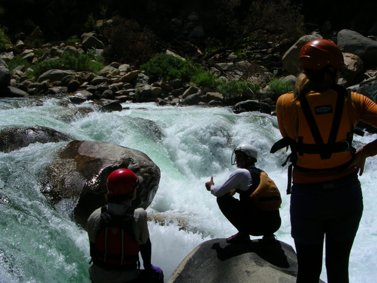
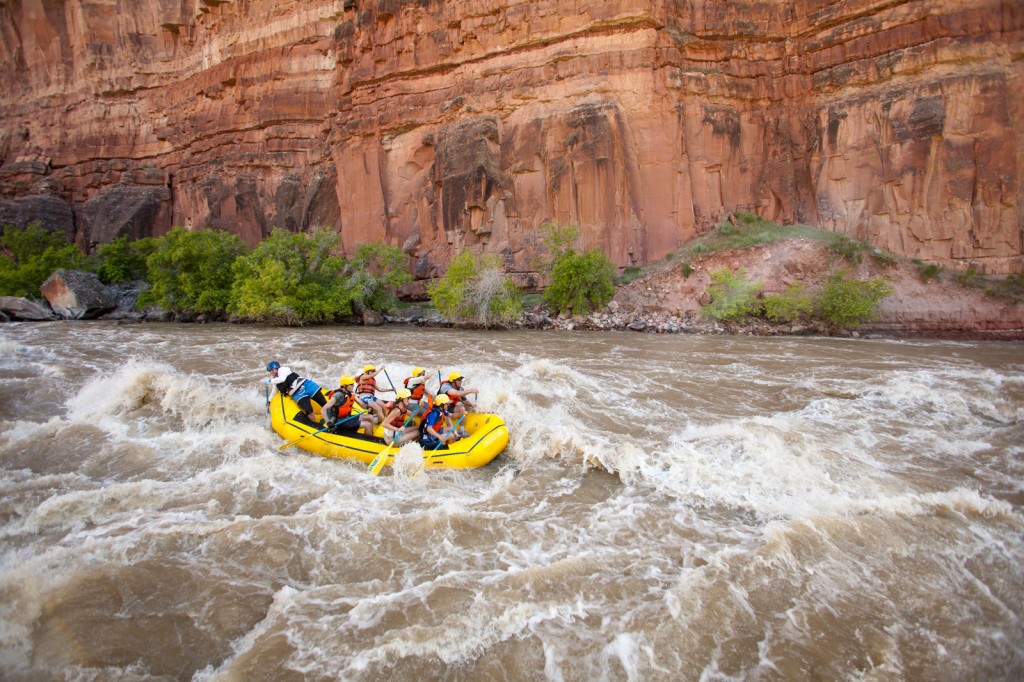
For all the work, the paddling itself is pretty great! It has a similar Central Valley feel like Bear, Putah, or Cache Creek, and the end feels like MF Cottonwood – and it's better paddling than most of those. The first 5mi are the best, with plenty of splashy II-III, pretty water, and the typical wildlife (mergansers, dippers, kingfishers, red-tailed hawks, bald eagles). There was no shortage of eddies. The paddling went quicker than expected. Around 5mi in, you encounter one Class V rapid that you can portage or scout from the right. We portaged. There was also a surprise IV-V rapid we named Baby Named Norman around 6mi that was not previously reported; the geology may have changed. We also portaged on the right due to our small team size and its rocky nature – a better drop for kayaks for sure.
The last few miles are mild but relatively swift. The takeout is on river right downstream of the bridge.
Along the way there are some impressive serpentinite displays, too – especially at Baby Named Norman.
A note about flows: we concur with CACreeks recommended flow of 25% of the Black Butte Reservoir inflow. However, that gauge seems to fluctuate wildly (eg, between 800 and 2000cfs) from hour to hour; not sure why. Keep in mind Grindstone is well above that gauge, and undammed, so is far more consistent than the gauge will have you believe. We ran it with the gauge between 1276 and 1627cfs and had plenty of water.
Grindstone Creek, as well as the land on both sides, are priorities for wild and scenic/wilderness protections in future National Forest plans. Learn more at www.calwild.org. If you want to help build advocacy for this place, contact Senior Policy Director Ryan Henson and let him know of your next descent.
Other resources:
CACreeks
Holbek & Stanley
Rapids in this Run (2)
Difficulty
Class III+(V)
Length
12.0 mi
Gradient
45 ft/mi
max 75
Rapids
2
Access Points
Difficulty Classes
I Easy
II Novice
III Intermediate
IV Advanced
V Expert/Extreme
VI Unrunnable
Current Conditions
5-Day Forecast
Whitewater data from
American Whitewater
American Whitewater