Headwaters to S. Fork Snake River confluence
Pine Creek (Tributary of South Fork of the Snake)
Linked via: Nhdplus discovery 90% confidence Synced 6mo ago
Gauge Conditions
Runnable: ? – ? CFS
Approximate reading: This gauge is 363.7 miles away on Pine Creek (Tributary of South Fork of the Snake). Use as a general reference only.
Data from American Whitewater & USGS
Run Map
Run Time Estimate
Select put-in and take-out to estimate time.
Unlock Advanced Trip Planning
See wind-adjusted speed maps, forecast planning, and detailed time estimates.
Sign in to generate an AI timing estimate for this run.
Whitewater timing varies with scouting, portages, and group pace. Use as a planning baseline.
Description
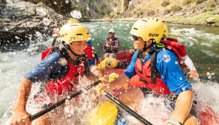
Pine Creek is a beautiful wilderness run through open valley and down into an isolated canyon.
Section 1, 7 miles: Overall this section is class II-III with class II for the majority of the segment before the canyon, as the creek meanders through fields and willows. You will encounter two class III rapids.
Section 2, 4.1 miles: As you enter this section the river turns away from the highway and slowly drops into a canyon with giant walls to your north as enter the 4.1 mile Pine Creek Canyon with class II-IV+ whitewater. This canyon section is a beautiful isolated wilderness run with no opportunity to turn back. Expect to encounter four notable class IV rapids over the length of the canyon and stay on the lookout for log jams and or partial log jams that require a cautious approach. One of the class IV rapids has an entrance with potentially higher class IV+ to V consequences. Of the three entrance options to this rapid: the the far right has pinning potential, the center has a line but a quick maneuver must be made around a boulder after dropping in the center, and the far left has a line to skirt around but does not set you up for the remainder of the rapid's line which is river right.
Logistics:
The put is where the North Fork of Pine Creek meets highway 21 and flows become adequate to paddle (43.560758, -111.275906).
An intermediate access point serves as a take-out for section 1 or a put-in for the the lower canyon 43.509021, -111.357853).
The take-out for the full canyon run (43.477242, -111.441340) is where Pine Creek meets the Snake River. Exit on river left just before the confluence. Hike west along the south bank of the Snake, periodically crossing channels, and eventually a cow pasture, to reach the highway. Beware of aggressive territorial cows (seriously). The takeout exercise is about a
two-hour ordeal.
Another option is to make it an overnight trip and travel 20 miles down the Snake River to the next boat ramp: Riley Ditch or Byington Boat Ramp.
Rapids in this Run (1)
Difficulty
Class II-IV
Length
10.7 mi
Rapids
1
Access Points
Difficulty Classes
I Easy
II Novice
III Intermediate
IV Advanced
V Expert/Extreme
VI Unrunnable
Current Conditions
5-Day Forecast
Whitewater data from
American Whitewater
American Whitewater