High Shoals
Linked via: Nhdplus discovery 90% confidence Synced 3mo ago
Gauge Conditions
Runnable: 180.0 – 4,000.0 CFS
Upper limit for best boatability uncertain. Please help your fellow boaters with a comment or report.
Data from American Whitewater & USGS
Run Map
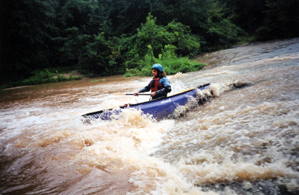
Description
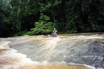
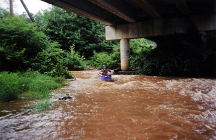
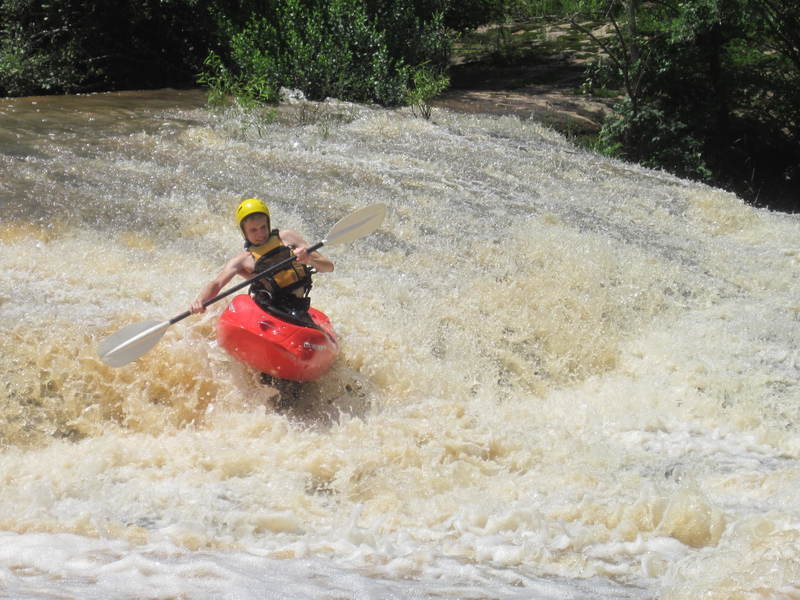
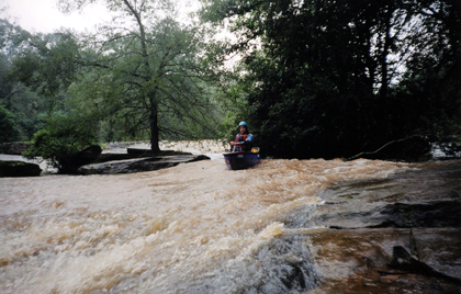
The High Shoals section of the Rocky River is essentially a destination boating experience for Anderson natives. The Rocky River flows over High Shoals and drops about 40 feet in a few hundred yards. The rapids are essentially sliding shoals and ledges. Some small play spots developed at high water. However as an urban whitewater run, the Rocky River does has sub-standard water quality.
DO NOT BOAT BELOW THE FALLS UNLESS YOU ARE EXCITED ABOUT EPIC FLATWATER ADVENTURES WITH LOTS OF STRAINERS.
Directions for this run are easy. Take 28 south from Anderson and go left at the 4 way intersection with Hays Rd. Park on the left at the bridge and carry down.
Rapids in this Run (1)
Difficulty
Class III
Length
0.3 mi
Gradient
60 ft/mi
max 80
Rapids
1
Access Points
Difficulty Classes
I Easy
II Novice
III Intermediate
IV Advanced
V Expert/Extreme
VI Unrunnable
Current Conditions
5-Day Forecast
Whitewater data from
American Whitewater
American Whitewater