Highway 280 to San Fransisco Bay
Linked via: Proximity 95% confidence Synced 6mo ago
Gauge Conditions
Runnable: ? – ? CFS
Approximate reading: This gauge is 1.1 miles away on San Francisquito Creek. Use as a general reference only.
Data from American Whitewater & USGS
Run Map
Run Time Estimate
Select put-in and take-out to estimate time.
Unlock Advanced Trip Planning
See wind-adjusted speed maps, forecast planning, and detailed time estimates.
Sign in to generate an AI timing estimate for this run.
Whitewater timing varies with scouting, portages, and group pace. Use as a planning baseline.
Description
Searsville Dam has plugged up the headwaters of San Francisquito Creek where several tributaries came together and carved their way through a confined gorge that is the dam site. The dam itself is a 65 foot high and 275 foot wide wall of concrete blocks within Stanford University's Jasper Ridge Biological Preserve. Searsville Dam no longer provides any functional benefits and has lost over 90% of its original water storage capacity as approximately 1.5 million cubic yards of sediment has filled it up. The creek hosts the most viable remaining native steelhead population in the South San Francisco Bay and dam removal would double this habitat.
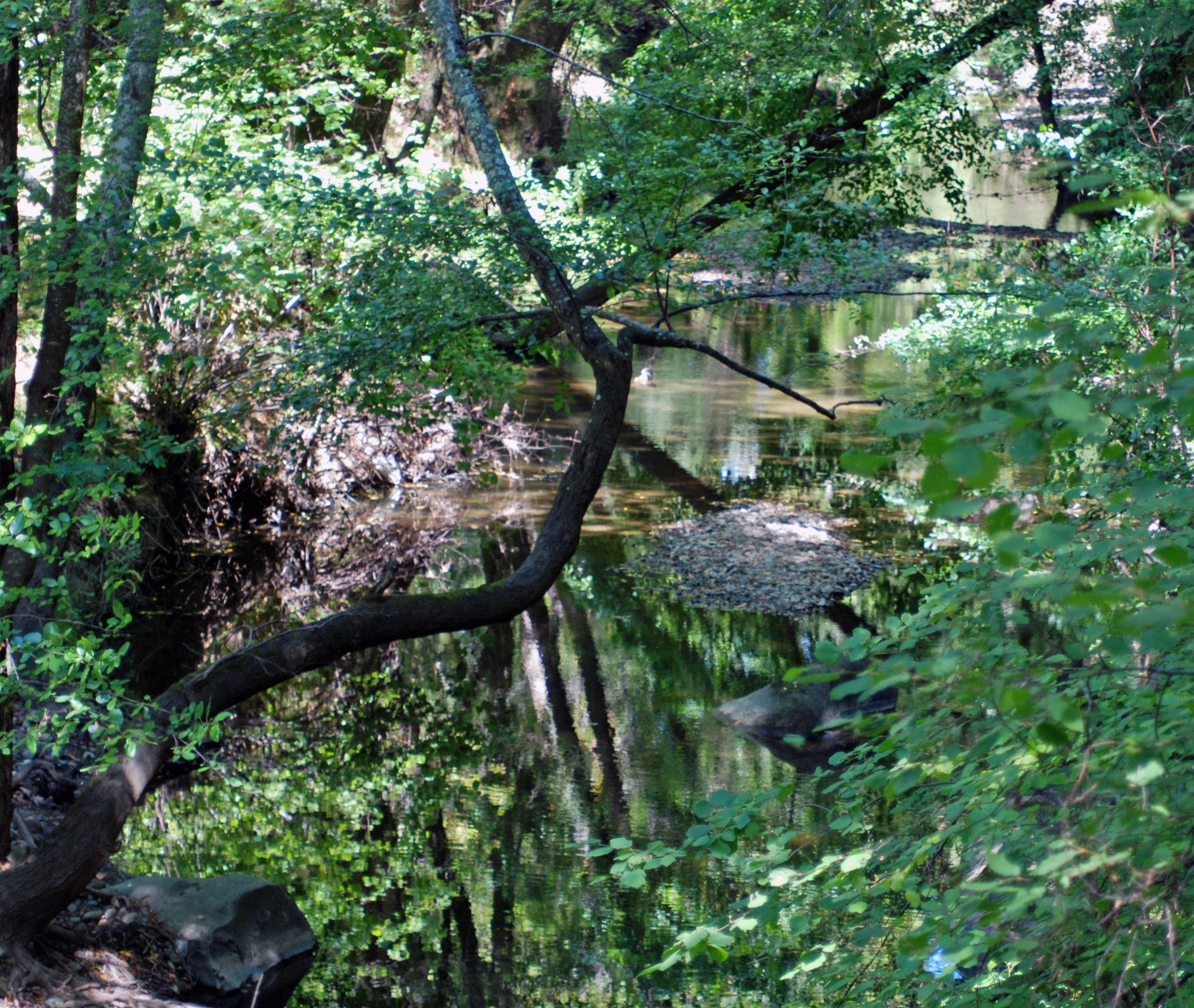
Paddlers have explored the creek from Highway 280 down to San Fransisco Bay, a run that takes about 3 hours and inludes a few class III rapids. There are some hazards including one old, small diversion dam.
Rapids in this Run (1)
Difficulty
Class III
Length
8.4 mi
Rapids
1
Access Points
Difficulty Classes
I Easy
II Novice
III Intermediate
IV Advanced
V Expert/Extreme
VI Unrunnable
Current Conditions
5-Day Forecast
Whitewater data from
American Whitewater
American Whitewater