Hiker's Bridge to Hudson River
Linked via: Nhdplus gnis 95% confidence Synced 3mo ago
Gauge Conditions
Runnable: 700.0 – 2,000.0 CFS
Data from American Whitewater & USGS
Run Map
Description
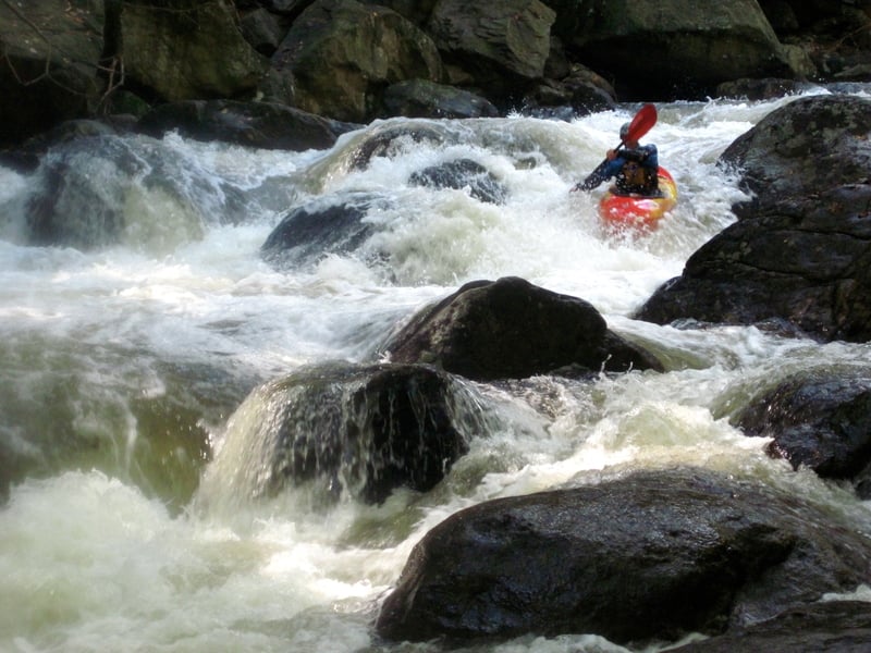
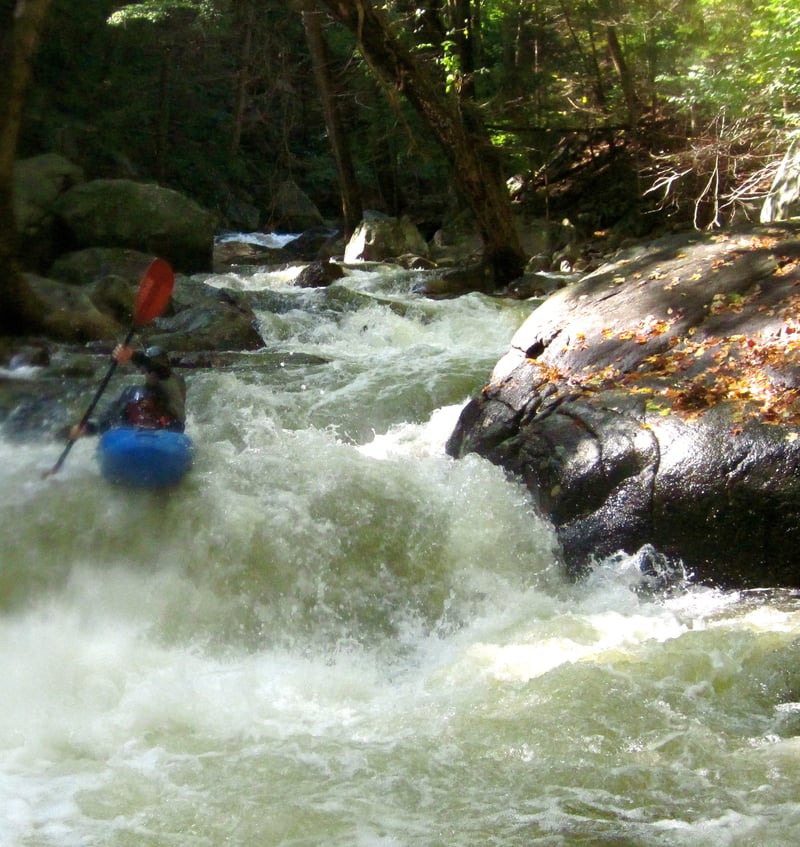
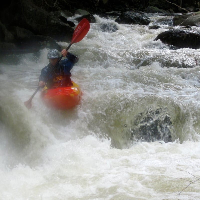
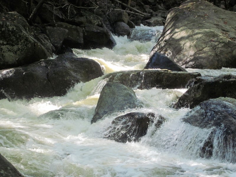
First of all, a comment on the claimed first descent in '02. There are rumors that Eric Nies (of Nies' Pieces fame on the Green) regularly paddled this creek solo back when he was a med student in NYC, which would place the actual first descent sometime about a decade prior, although I don't know for certain. Regardless of who was the first, it is seeing considerably more traffic of late, and why not? This is most likely the best Class V run in Southern NY and New England. It is short, but action-packed with such a variety of outstanding whitewater that I can hardly justify going anywhere else when it is running, which happens to be a lot. After four runs in a weekend at a perfect flow, I spent Sunday night dreaming vividly of the Popolopen. Its twisting chutes, dynamic boofs, and endless boulder gardens are enough to satisfy even the most discerning gradient seekers. Despite all of this, the run is very dangerous. Sieves, undercuts, and strainers are an ever-present factor. Expect to spend about three hours to safely pick your way down the creek if it's your first run.
Downstate New York Area Reaches
Beer Kill Beer Kill, W. Branch
Callicoon Creek, E. Branch Callicoon Creek, N. Branch
Coxing KillCroton
Delaware (1.) Delaware (2. Mongaup Wave)
Delaware (3.) Fishkill Creek
Mombaccus CreekMongaup
Moodna Creek Neversink (1.)
Neversink (2.) Neversink, E. Branch
Peters Kill Pocantico
Popolopen Brook Ramapo
Rochester Creek Rondout Creek (1.)
Rondout Creek (2.) Rondout Creek (3.)
Sandburg Creek Stony Brook (1.)
Stony Brook (2.)Wallkill
Wappinger Creek
Google Map of New York Whitewater
New York Whitewater Paddlers Facebook Group
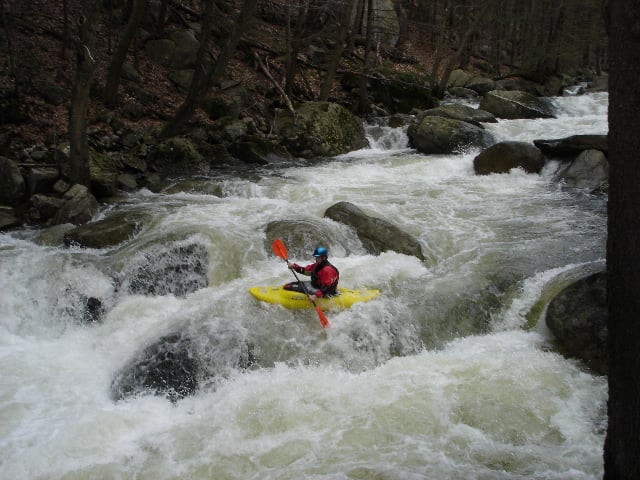
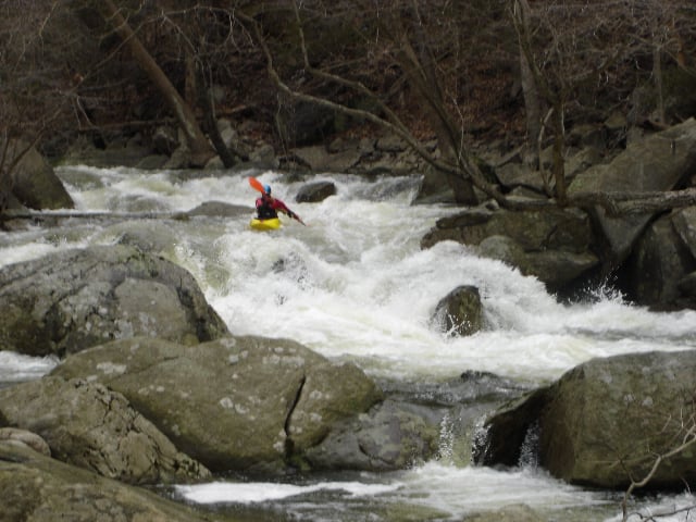
Rapids in this Run (4)
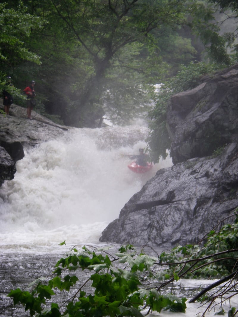
Waterfalls (2)
Hazards & Portages (4)
Caution: The following locations may require scouting or portaging. Always check current conditions.
Difficulty
Class V
Length
4.2 mi
Gradient
200 ft/mi
max 300
Rapids
4
4 Hazards
Access Points
Shuttle Info
**Shuttle Directions**
The takeout is just upstream of the confluence of the Popolopen and the Hudson on river left. You can leave a car at the Fort Montgomery Visitor Center off 9W just north of the Bear Mountain Bridge. It's advisable to be low-key and avoid changing at the Visitor Center. They've been pretty cool so far, but we wouldn't want to lose access here. If you use the bathroom or any other facilities, please leave a buck or two in the donation collection box.
To reach the put in, turn onto Firefighter Memorial Drive, which is directly opposite the Visitor Center off of 9W. At the small park, make a left onto Mine Road and follow it about 2 miles up to a pullout that is designated hiker parking. Hike down towards river level and then upstream as far as you would like to put in. There is a great, long Class IV rapid just upstream of the hiker's bridge to warm up on and several more Class III and IV rapids further up for about a quarter mile.
Difficulty Classes
I Easy
II Novice
III Intermediate
IV Advanced
V Expert/Extreme
VI Unrunnable
Current Conditions
5-Day Forecast
Whitewater data from
American Whitewater
American Whitewater