Hinckley Dam to Kettle River/Hwy.48 (8.4 miles)
Linked via: Nhdplus gnis 95% confidence Synced 6mo ago
Gauge Conditions
Runnable: ? – ? CFS
Approximate reading: This gauge is 7.0 miles away on Grindstone. Use as a general reference only.
Data from American Whitewater & USGS
Run Map
Run Time Estimate
Select put-in and take-out to estimate time.
Unlock Advanced Trip Planning
See wind-adjusted speed maps, forecast planning, and detailed time estimates.
Sign in to generate an AI timing estimate for this run.
Whitewater timing varies with scouting, portages, and group pace. Use as a planning baseline.
Description
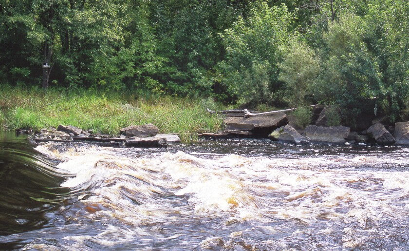
A fine float trip from below the Hinckley Dam to the confluence with the Kettle River (with another 1.6 miles paddle-out on that to the public landing on Hwy.48). There appear to be numerous areas of shoals which should create fine riffles and rips, perhaps waves and even legitimate rapids at good flows.
We have no first-hand information nor reports regarding this run. Have you paddled it? Help out your fellow boaters with a comment or report! (Photos or videos are a bonus!)
Difficulty
Class I-II
Length
8.2 mi
Gradient
13 ft/mi
Rapids
8
Access Points
Difficulty Classes
I Easy
II Novice
III Intermediate
IV Advanced
V Expert/Extreme
VI Unrunnable
Current Conditions
5-Day Forecast
Whitewater data from
American Whitewater
American Whitewater