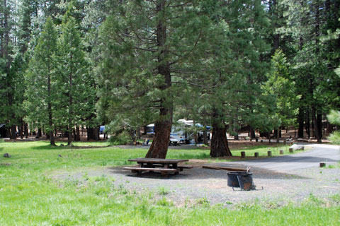
Hwy 108 Bridge to Lyons Reservoir
Linked via: Nhdplus gnis 95% confidence Synced 6mo ago
Gauge Conditions
Runnable: ? – ? CFS
Approximate reading: This gauge is 0.3 miles away on Stanislaus. Use as a general reference only.
Data from American Whitewater & USGS
CDEC Flow Data California
Data from California Data Exchange Center (CDEC)
Run Map
Run Time Estimate
Select put-in and take-out to estimate time.
Unlock Advanced Trip Planning
See wind-adjusted speed maps, forecast planning, and detailed time estimates.
Sign in to generate an AI timing estimate for this run.
Whitewater timing varies with scouting, portages, and group pace. Use as a planning baseline.
Description
Put in: Highway 108 bridge. Elevation 5290 feet.
Take out: Lyons reservoir. Elevation 4215 feet.
Total drop 1075 feet over 11.5 miles.
There appear to be numerous options for put in and take out. Study a map.
Jay Seiler reports
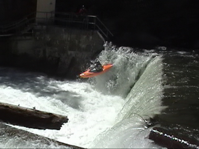
This run was a lot of fun. We estimated it to be around 11 miles from a few miles above the campground to about 3 or 4 miles below it. Great class 3-5.Two tricky dams above the campground. Below the campground there were two class 5 drops separated by continuous 3-4 drops. First class five portage on the right. The last mile of whitewater was the most fun-Six drops in a row. First one is class 5, one of us in our group ran it blind-the next day we all walked it. Hard to see-must make eddy on the left. Portage left. The next 5 drops are all class 4+ drops back to back sticky holes all down the left-run right. Take out on the river left after a mile or so on a logging road I believe-past the powerlines. Scout for wood and drops you might not want to try. Have fun.Be safe.
Other Information Sources:
A GUIDE TO THE BEST WHITEWATER IN THE STATE OF CALIFORNIA, HOLBEK & STANLEY, 1988
Rapids in this Run (3)
Hazards & Portages (1)
Caution: The following locations may require scouting or portaging. Always check current conditions.
Difficulty
Class IV-V
Length
11.7 mi
Gradient
94 ft/mi
Rapids
3
1 Portage
Access Points
Difficulty Classes
I Easy
II Novice
III Intermediate
IV Advanced
V Expert/Extreme
VI Unrunnable
Current Conditions
5-Day Forecast
Whitewater data from
American Whitewater
American Whitewater