Hyas Creek to Bogachiel River
Linked via: Nhdplus discovery 90% confidence Synced 6mo ago
Gauge Conditions
Runnable: 2,000.0 – 4,000.0 CFS
Data from American Whitewater & USGS
Run Map
Run Time Estimate
Select put-in and take-out to estimate time.
Unlock Advanced Trip Planning
See wind-adjusted speed maps, forecast planning, and detailed time estimates.
Sign in to generate an AI timing estimate for this run.
Whitewater timing varies with scouting, portages, and group pace. Use as a planning baseline.
Description
The Calawah is a low elevation drainage and flows for whitewater boating depend on winter rains. Storms coming in off the Pacific can send the river to floodstage overnight while an advancing cold front can make flows drop out of the range just as quickly.
The river has faced a history of intense logging, but a new generation of forestry regulations has resulted in greater protection of riverside forests and water quality is now generally exceptional on this river. Sightings of salmon, steelhead, and eagles are common on this run.
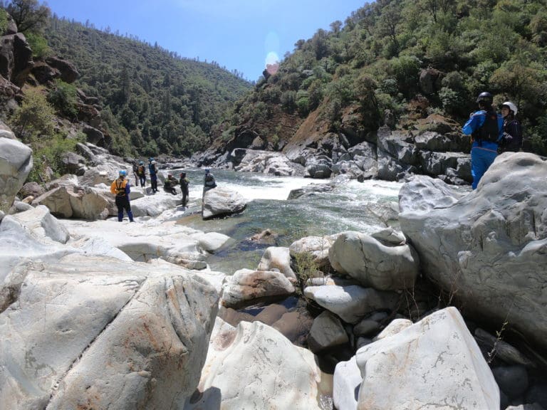
While the entire 17 miles is likely too long for a day trip, this river can be broken up into several sections. The first 2.5 miles from Hyas Creek to Klahine Campground is the most scenic flowing through Olympic National Forest with emerald pools separated by class II to II+ whitewater.
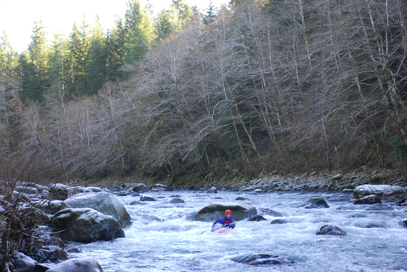
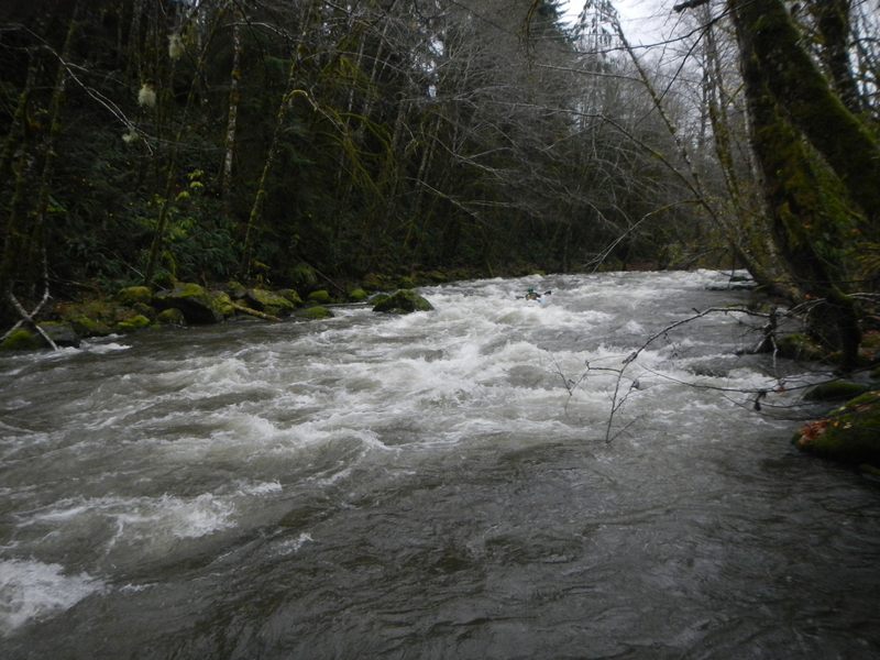
About a mile downstream of Klahine Campground, as you enter state-managed forest land, the Calawah drops through the best section of whitewater with approximately a mile of high quality class III boulder garden rapids ending with 'Island Rapid' which is run down the right.
As you reach the confluence with the North Fork Calawah, the action tapers off again but offers more class II whitewater. As a few riverside homes come into view on river left you know you are reaching the Highway 101 bridge access.
Below the Highway 101 bridge the river flows through commercial timberlands. While the class II rapids are enough to make drift boat fishermen nervous, whitewater kayakers should not have too much trouble. Some fun play awaits as the river joins the Bogachiel. Floating on the Bogachiel just over 3 miles brings you to the Wilson Boat ramp and the lowermost take-out.
Access Logistics:
For a put-in, a number of access points are available along Forest Road 29 which parallels the upper part of this run on river right. To find this road head about a mile north of Forks and at Highway 101 mile 193.3 turn east on to Forest Road 29.
Driving up Forest Road 29 you will get a view of the river at the North Fork confluence at mile 3.6 that provides for a visual check on levels. Klahanie Campground is at mile 5.4 on this road and this is the put-in access described in the Korb guidebook, however the campground is typically closed during the winter boating season. At mile 6.0 up the road, Forest Road 2932 (Elk Ridge Road) turns off to the south and the bridge here provides a potential access point. At mile 8.0 on Forest Road 29 you will reach the Hyas Creek confluence which is the traditional take-out for the Sitkum and South Fork Calawah runs. The access is at a dispersed site at a gravel bar with great river access just downstream of where Hyas Creek joins the Calawah.
You have a couple different options for a take-out. One option is at the Highway 101 boat ramp. At the Highway 101 bridge mile 192.3 where the bridge crosses the Calawah, turn into the Washington State Department of Fish and Wildlife access on the upstream river left side of the bridge.
Another option is at the Wilson Boat Ramp downstream of where the Calawah joins the Bogachiel. To reach this access, head down La Push Road which turns off from Highway 101 at mile 193.2 just north of Forks. Head 5.5 miles down this road and turn left on Wilson Road. Follow this road 0.7 miles to the boat ramp (WDFW parking permit required).
You can obtain current road information from the USFS Pacific Ranger District in Forks (360) 374-6522.
Difficulty
Class II-III
Length
18.8 mi
Gradient
18 ft/mi
Rapids
6
Access Points
Difficulty Classes
I Easy
II Novice
III Intermediate
IV Advanced
V Expert/Extreme
VI Unrunnable
Current Conditions
5-Day Forecast
Whitewater data from
American Whitewater
American Whitewater