in Pisgah
Linked via: Nhdplus created 95% confidence Synced 6mo ago
Gauge Conditions
Runnable: 2,000.0 – 10,000.0 CFS
Based on a recommendation from Will Lyons. The upper limit is a wild guess. Scout and if it looks good, go ahead and run it.
Data from American Whitewater & USGS
Run Map
Run Time Estimate
Select put-in and take-out to estimate time.
Unlock Advanced Trip Planning
See wind-adjusted speed maps, forecast planning, and detailed time estimates.
Sign in to generate an AI timing estimate for this run.
Whitewater timing varies with scouting, portages, and group pace. Use as a planning baseline.
Description
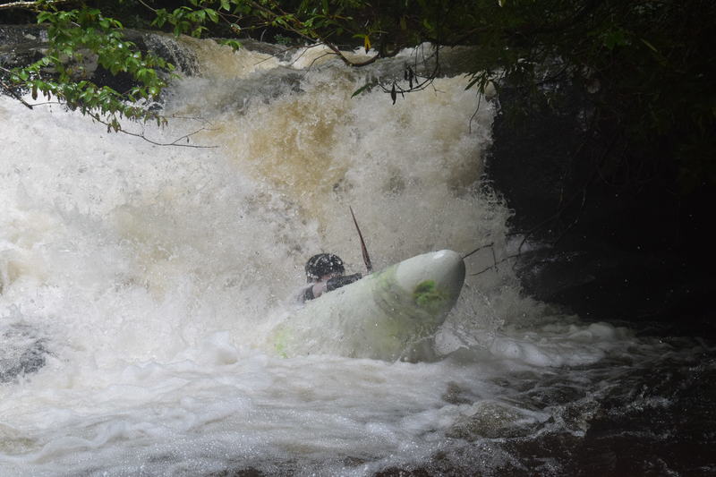
Sweet Class III-IV+ Wilderness Run In Pisgah!
Note that a series of old logging roads run the length of the Tanasee Creek Gorge. Most of the time they are on river right but often overgrown. In the event of having to hike out make note of these. Most of the gradient is in the upper section over bedrock rapids, chutes & a few boofs.
Here is the gage on Tanasee: http://water.weather.gov/ahps2/hydrograph.php?gage=itcn7&wfo=gsp
Forum: BoaterTalk
Date: Feb 09 2004
From: LVM
Wanted to share a trip report with you guys about a real special III-IV wilderness run in Western NC. The run is called Tanasee Creek and is located over the hill and west from the North Fork French Broad. If you look at the gazetteer and find Wolf Res (I think) you will see Tanasee and Panthertown/ Upper Tuck flowing in.
We took out at the second bridge from the lake and used the somewhat 4 wheel drive road on river right to access the putin. We put in at the bridge on the paved road 1 mile from the end of the dirt road (make right turn).
The putin flow looked about like the Gragg Prong (180 cfs) with a nice trib joining just downstream. The run is about 3-4 miles and in an isolated gorge (hard to hike out). We portaged several class V- drops due to poorly placed wood, but after that it was all read and run to the takeout. This creek will provide a great training ground for up and coming river runners wanting to get that wilderness experience without many difficult rapids. The trip involves scouting, portaging and tree-ducking skill, all in a beautiful isolated setting. Can be combined with Courthouse Creek, Coondog Falls, Upper NF, NF or West Fork for an exciting multi-run day.
If you are looking for a great trainer trip this is it.
Enjoy,
Daniel
Rapids in this Run (2)
Difficulty
Class III-IV(V+)
Length
4.1 mi
Rapids
2
Access Points
Difficulty Classes
I Easy
II Novice
III Intermediate
IV Advanced
V Expert/Extreme
VI Unrunnable
Current Conditions
5-Day Forecast
Whitewater data from
American Whitewater
American Whitewater