Intersection of County Roads 43 and 56 to Bucks Pocket
Linked via: Proximity 96% confidence Synced 6mo ago
Gauge Conditions
Runnable: 8.2 – 12.2 FT
7.5 - 8.2 USGS = 4 inches or less on the stick at the Pocket.
Data from American Whitewater & USGS
Run Map
Description
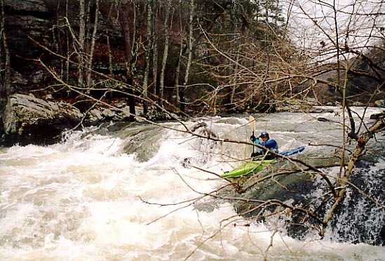
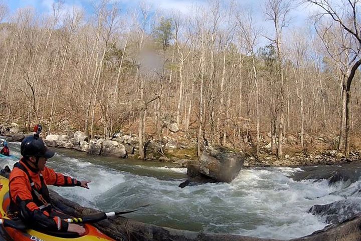
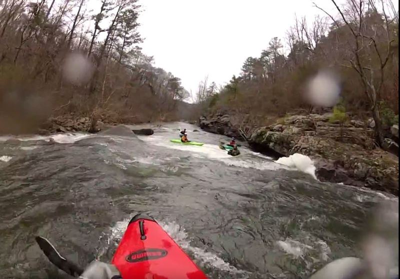
South Sauty is pretty hard to beat, good continous action top to bottom. Plenty of steady class 3 and 4 action ending with your car in view and a hot shower just steps from the take out.
Buck Pocket State Park is a great takeout. Please show your appreciation for this state park and donate a dollar or two for using the facilities. They use the money to help maintain the restrooms and keep the place up. Oh, by the way, if you need a shuttle, ask Bruce what you can do!
Sauty is boatable at a wide range of flows. There is a paddler's gauge at the take out which is the best indicator for whether the creek is runnable. From the parking lot near the restrooms, walk straight down to the creek and look at the stick attached to a large tree. There is a USGS gauge upstream of the put in which has a fairly reliable correlation to the stick gauge at the take out. For a rough conversion use the formula (USGS reading in feet x 8.7) - 65 = stick level. See the "flow info" tab for more detail on the ranges.
Rapids in this Run (15)
Rapid
III
Initiation Slot
Rapid
III
Small Slide
 Rapid
III+
Rapid
III+
Welcome to Sauty
Rapid
III
Pincushion
 Rapid
III+
Rapid
III+
Egg Scrambler
Rapid
Reedy Creek Confluence
Rapid
III
Secret Room Eddy
 Rapid
III+
Rapid
III+
Cliff Left
 Rapid
III+
Rapid
III+
Gates to Weenieville
 Rapid
IV
Rapid
IV
Drunken Horseman
Rapid
III
Whale Tail / Cheesy Boof
 Rapid
IV
Rapid
IV
Upper Minefield
Rapid
IV
Lower Minefield
 Rapid
IV
Rapid
IV
The Slot
Rapid
IV
Bonecrusher Entrance
Waterfalls (1)
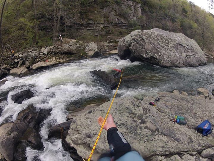
Hazards & Portages (5)
Caution: The following locations may require scouting or portaging. Always check current conditions.

Difficulty
Class III-IV
Length
6.4 mi
Gradient
60 ft/mi
max 81
Rapids
15
5 Hazards
Access Points
Difficulty Classes
I Easy
II Novice
III Intermediate
IV Advanced
V Expert/Extreme
VI Unrunnable
Current Conditions
5-Day Forecast
Whitewater data from
American Whitewater
American Whitewater