Jayville Road to Pitcairn
Linked via: Nhdplus discovery 90% confidence Synced 3mo ago
Gauge Conditions
Runnable: 2,000.0 – 4,000.0 CFS
Estimated
Data from American Whitewater & USGS
Run Map
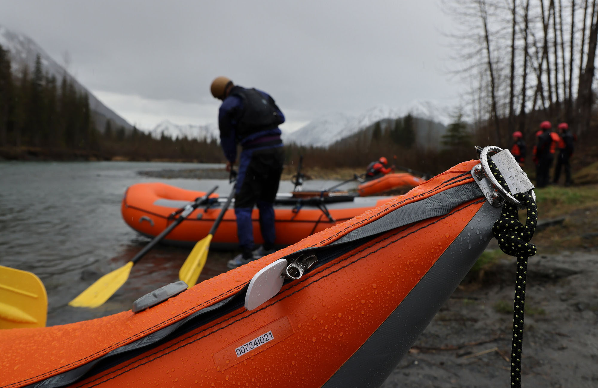
Description
See the _New York Exposed_ book for the description. You can buy the book through AW by clicking here.
According to the book and the AW website this creek was Unrun until 4/13/2008 when we ran it. If you ran it before that and you want credit let me know I will change description.
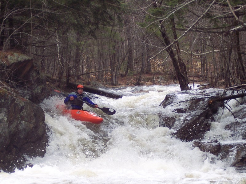
We had high expectations for this river as we drove up Jayville rd. As you leave RT 3 the road climbs and besides a few flat spots seems to climb most the way to the put-in. Unfortunately the river did not live up to our expectations.
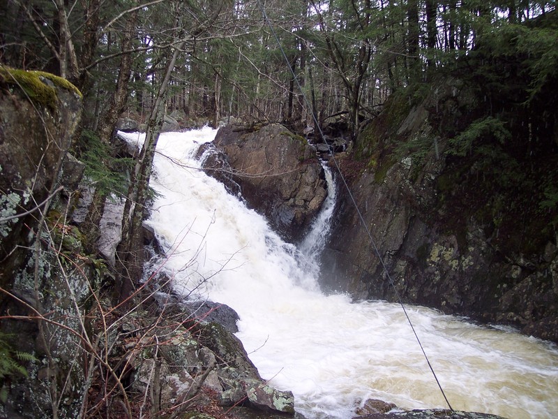
As you drive up the road you will see a huge drop down in a gorge next to the road. Take careful note of where this drop is. If you float into this and run the drop it will be most certainly the last drop you will ever run. It is one of the ugliest drops I have seen. It does however have flatwater above it. As you continue up the road you will see a really cool looking and very steep slide right next to the road. Take note of where this drop is because there are not a lot of eddys near the top of this drop and once you get around the corner above it you are probably running it whether you want to or not. Back in the woods where the river winds away from the road is another huge unrunnable drop. It also has flatwater above it but make sure you are scouting the horizon lines.
Besides the 3 large drops (2 of which will probably lead to serious injury or probably worse) the river has several junky drops many of which have wood in them. There are also several beaver ponds and dams that you have to get around. There are also a couple of low foot bridges that you have to duck to get under with one immediately followed by a riverwide strainer. In case you haven't picked up on it my opinion of this river isn't very good. Considering the other runs in this area, Jenny creek is not on par with the rest of the rivers in the area.
If you are in the area check out the Middle Branch of the Oswegatchie sections #3 , #4 , the East Branch of the Oswegatchie, the West Branch of the Oswegatchie, the Browns Bridge section of Oswegatchie , the South Branch of the Grass or any of the other rivers in the area.
Governour - Cranberry Lake Area Reaches:
Black Creek Boland Creek
Indian (Oswegatchi Tributary) Island Branch
Jenny Creek Little
Oswegatchi (Owbow to Elmdale) Oswegatchi East Branch Sect. 1
Oswegatchi East Branch Sect. 2 Oswegatchi East Branch Sect. 3
Oswegatchi East Branch Sect. 4Oswegatchi Middle Branch Sect. 1
Oswegatchi Middle Branch Sect. 2 Oswegatchi Middle Branch Sect. 4 (Sluice Falls)
Oswegatchi West Branch (Bisha to Jerden) Oswegatchi West Branch (Fullerville to Oswegatchi)
Sawyer Creek
Google Map of New York Whitewater
New York Whitewater Paddlers Facebook Group
Rapids in this Run (6)
Waterfalls (1)
Hazards & Portages (3)
Caution: The following locations may require scouting or portaging. Always check current conditions.
Difficulty
Class II-V+
Length
5.5 mi
Gradient
80 ft/mi
max 200
Rapids
6
3 Hazards
Access Points
Shuttle Info
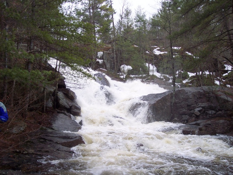
About 4 miles east of Harrisville on RT 3 is Jayville Rd. Turn up Jayville Rd and put in several miles up the rd at the second bridge that crosses the river. You will see a small boof about 50 ft upstream. We walked up and ran it.
Difficulty Classes
I Easy
II Novice
III Intermediate
IV Advanced
V Expert/Extreme
VI Unrunnable
Current Conditions
5-Day Forecast
Whitewater data from
American Whitewater
American Whitewater