Katy Lane to Nickajack Lake
Linked via: Nhdplus discovery 90% confidence Synced 6mo ago
Gauge Conditions
Runnable: ? – ? CFS
Approximate reading: This gauge is 6.7 miles away on Running Water Creek. Use as a general reference only.
Data from American Whitewater & USGS
Run Map
Description
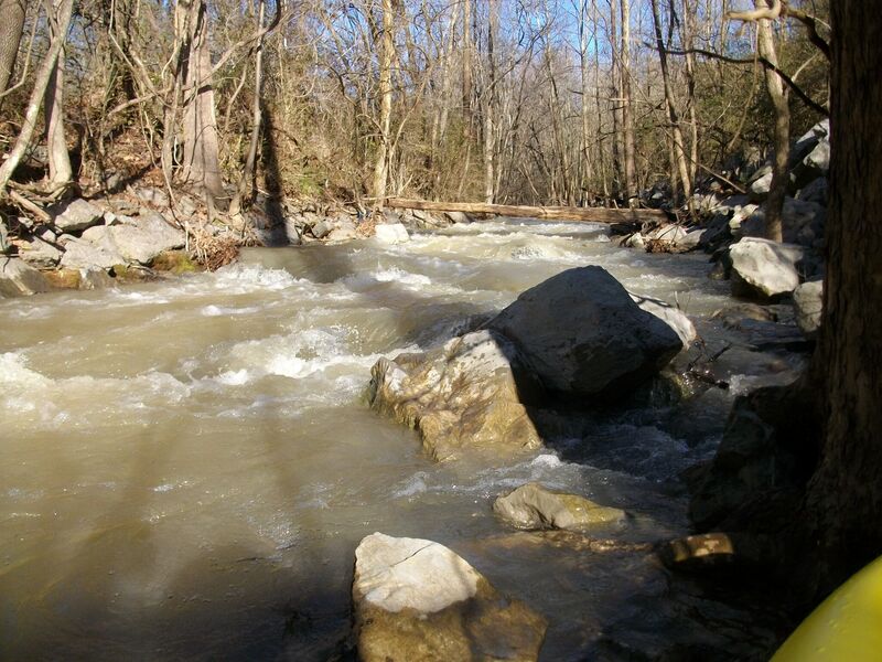
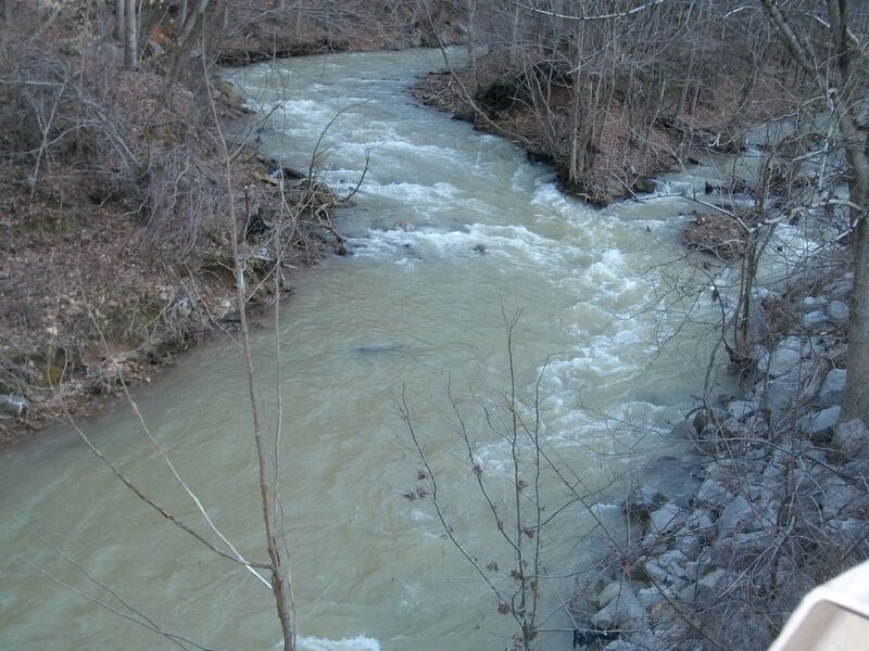
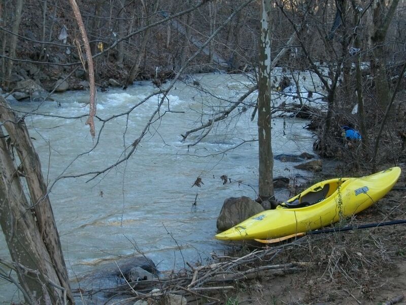
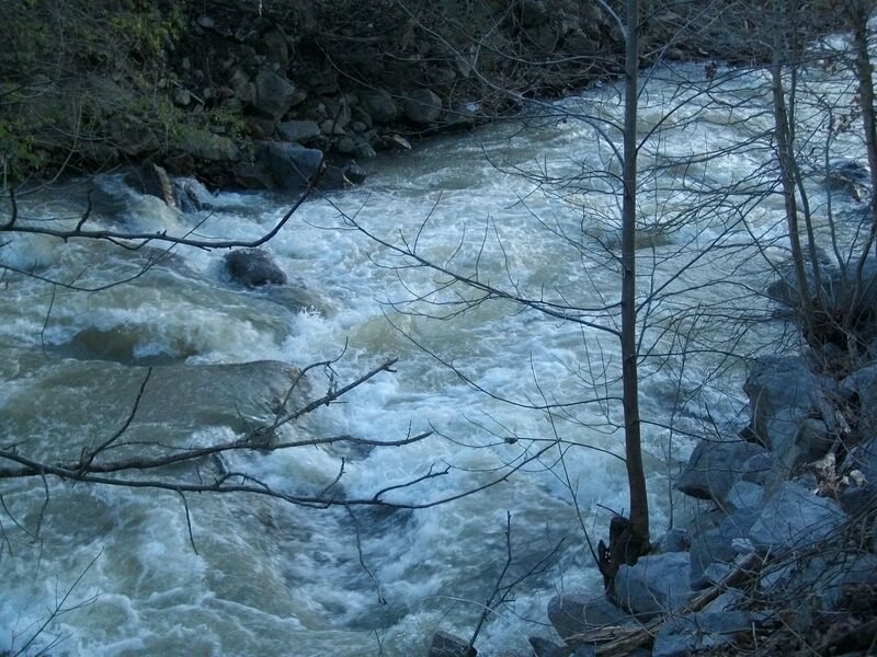
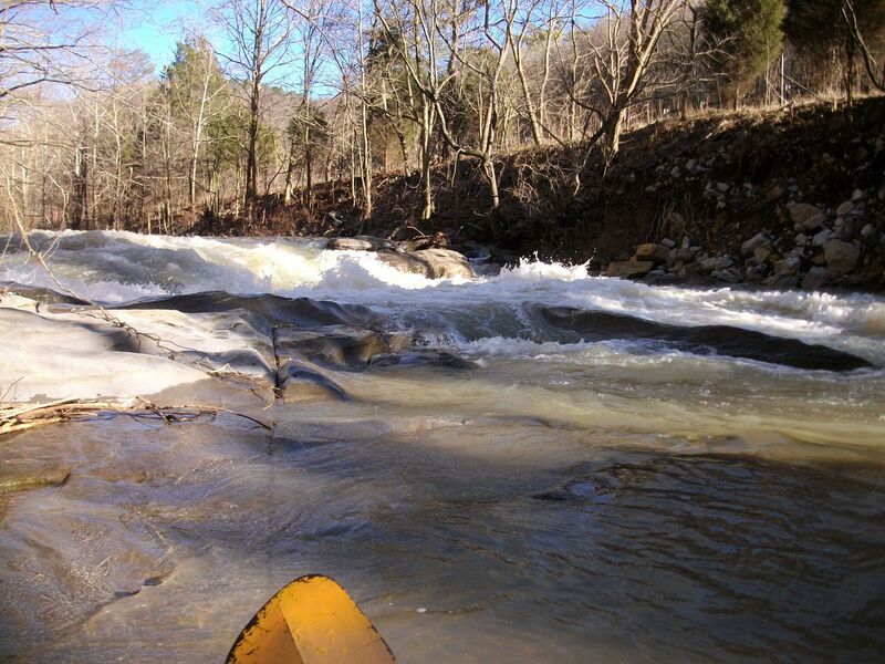
This run takes about an hour and a half, with constant paddling and features lots of waves and long rapids, especially on the lower end, with only brief sections of flat water. Two 4' - 5' falls/drops and a couple of fun slides are on upper section.
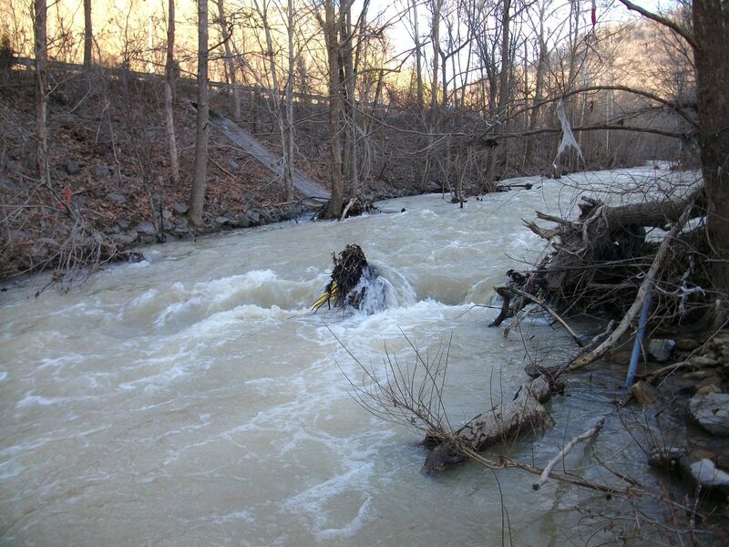
Paddlers will encounter a few large surface rocks that are easy to avoid with a good line. Always go slow and check around bends, especially on the first lap if the water is high, as you could encounter a fallen tree. This creek is massive fun, excellent for beginners, but paddle with someone who already knows the creek. Just plan to make several 5 mile laps.
Recommended level low: 1'6"
High: 2'-3'
Highest that I paddled was 4', but has been paddled at higher levels by class IV boaters.
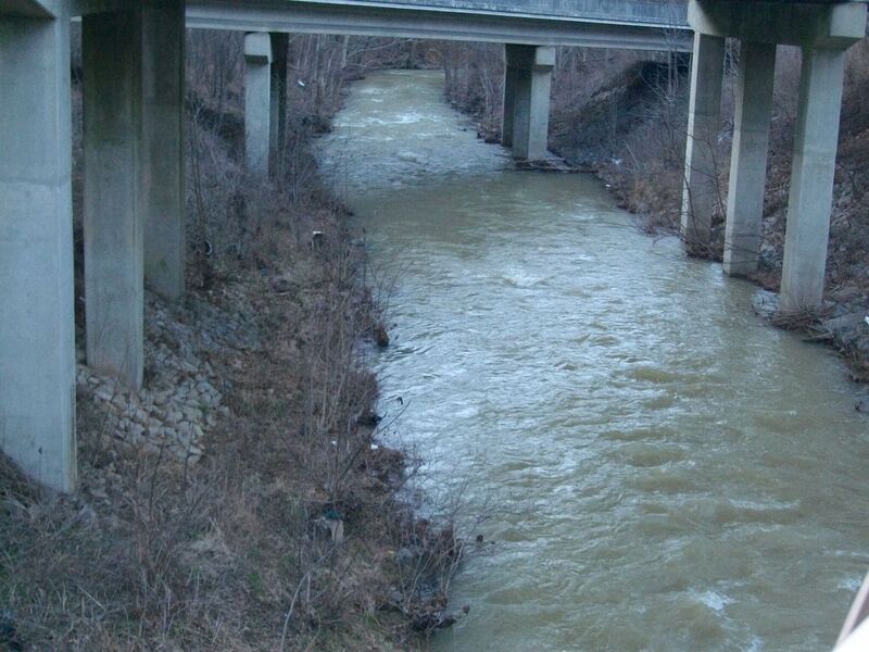
DIRECTIONS: From I-24, Wildwood exit 169, turn left on Highway 299/134, and go 4.6 miles to the upper put in. The middle put in is approximately 2 miles down at the gauge bridge. A huge plus is that the river is roadside, along Highway 134/I-24, all the way to the lake making for a very easy shuttle and you can pick whichtever section you want to paddle - upper/ middle/ lower.
Rapids in this Run (5)
Waterfalls (2)
Playspots (1)
Hazards & Portages (2)
Caution: The following locations may require scouting or portaging. Always check current conditions.
Difficulty
Class II-III
Length
3.7 mi
Rapids
5
2 Hazards
Access Points
Difficulty Classes
I Easy
II Novice
III Intermediate
IV Advanced
V Expert/Extreme
VI Unrunnable
Current Conditions
5-Day Forecast
Whitewater data from
American Whitewater
American Whitewater