Kelly Creek to Aquarius Campground
Linked via: Proximity 98% confidence Synced 6mo ago
Gauge Conditions
Runnable: 2,500.0 – 16,000.0 CFS
Data from American Whitewater & USGS
Run Map
Run Time Estimate
Select put-in and take-out to estimate time.
Unlock Advanced Trip Planning
See wind-adjusted speed maps, forecast planning, and detailed time estimates.
Sign in to generate an AI timing estimate for this run.
Whitewater timing varies with scouting, portages, and group pace. Use as a planning baseline.
Description
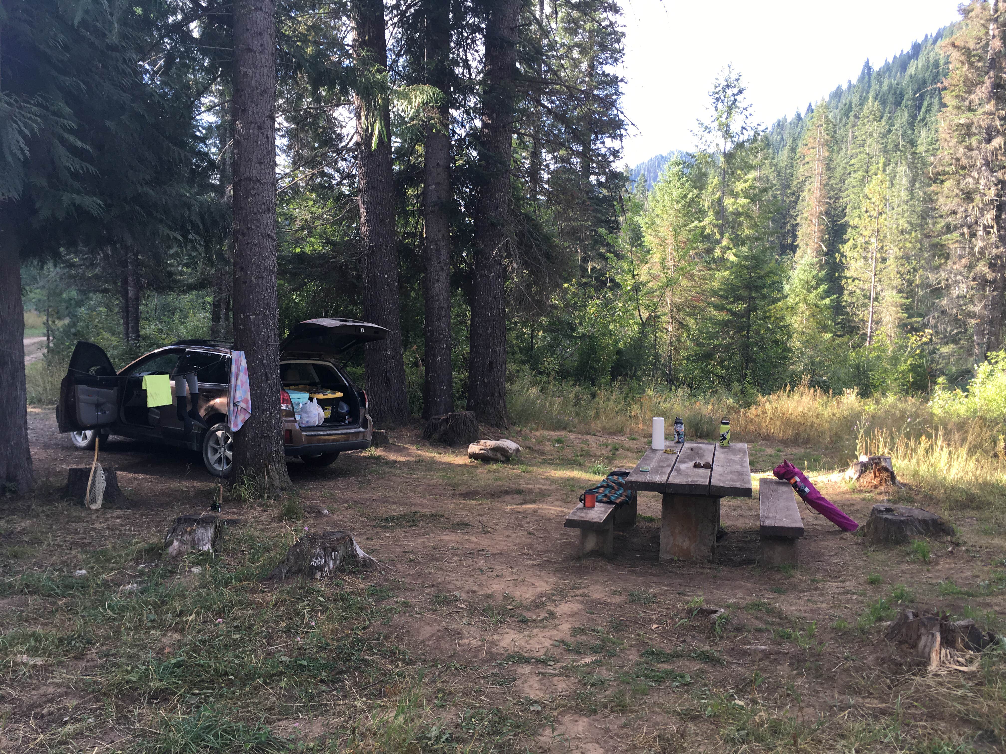
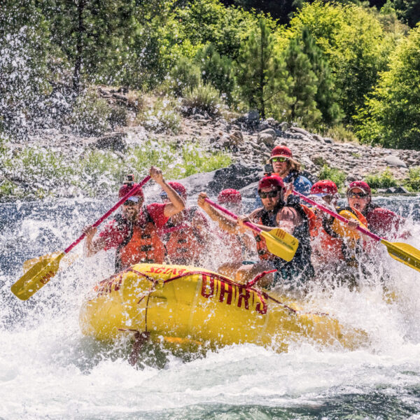
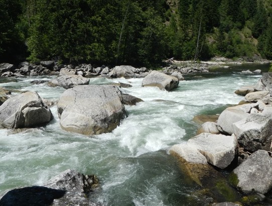
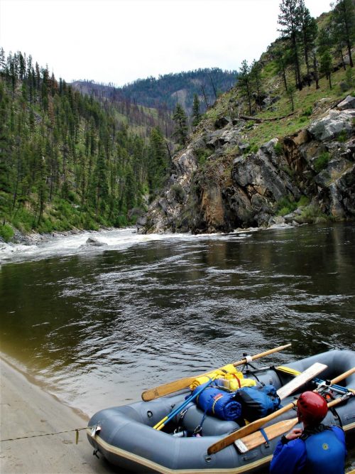
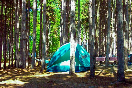
This stretch of the North Fork Clearwater is in a remote and secluded region of Idaho. Moore and McClaran describe the river in their guidebook Idaho Whitewater as pristine with crystal-clear waters, giant blond boulders of granite highlighted with green mosses, and bordered by primordial stands of western red cedar. The whitewater was pioneered by Oz Hawksley before Dworshak Dam was completed in 1973; the massive 717' wall of concrete has cut this river off from the Clearwater resulting in the loss of one of the Snake River watershed's great steelhead runs. Those who venture into this remote country can still find some great whitewater with multiple access points offering several options to paddle different segments of this 44 mile section of wild river. The guidebooks Western Whitewater, Idaho the Whitewater State, and Idaho Whitewater all include descriptions of the section from Kelly Creek to Aquarius Campground that can be split up in various ways depending on which access points you use; the North Fork Clearwater Road (Forest Road 247 and Forest Road 250) follows the river along river right making scouting and shuttles easy. A multi-day trip down this river is also possible with some great camps on river left, the opposite side of the river from the road.
_Kelly Creek to Weitas Campground, class II/III, 14 miles_
The river flows swiftly in this lightly-used section. Paddlers need to stay alert for potential wood hazards.
_Weitas Campground to Washington Creek Campground, Upper Bungalow Run, class III+, 10 miles_
The first half of the Bungalow Run has two significant rapids, at Spray Creek and Whitefish Rapid just above the bridge Oregrande Creek where you will find a great surf wave in the run out. You can take-out at Washington Creek or continue downstream if you plan to run Irish Railroad.
_Washington Creek Campground to Quartz Creek, Lower Bungalow Run, class III+(V), 11 miles_
The second half of the Bungalow run starts with a put-in at Washington Creek if you are planning to run Irish Railroad Rapid (V-) which is 4 miles downstream from the put-in. You can also access the river at Ermine Creek, 2 miles below Irish Railroad Rapid for a 5 mile run. Governor Creek Rapid is one of the highlights of the section below Irish Railroad Rapid.
_Quartz Creek to Aquarius Campground, Quartz Creek Run, class III, 9 miles_
The Quartz Creek run is the last section before the river hits the reservoir. It is class III at a wide range of flows. This segment starts out slow but after Skull Creek, which serves as an alternate access point, you will find three good class III rapids: Lost Pete Rapid, Cougar Rapids, and Aquarius Rapid. Continue downstream past the campground to Isabella Landing for the easiest take-out access.
Logistics:
Access is available from the downstream end of the run off Highway 12 out of Orofino or Greer or from the upstream end out of Superior on I-90. Note that once you are on the North Fork Clearwater you are far from gas stations so plan ahead and consider bringing a jerrycan of gas if you will be spending significant time exploring all the drainage has to offer.
The Orofino route starts at Highway 12 mile 44.0 and takes Highway 7 to Highway 11 to Headquarters where you turn left onto Beaver Creek Road (Forest Road 247) to Aquarius Campground. Total distance from Highway 12 is 57 miles. This route is all on paved roads down to the North Fork Clearwater.
The Greer route starts at Highway 12 mile 51.6 and takes Highway 11 through Weippe and Pierce (last gas and grocery stop; pumps not open at night) to Headquarters where you turn left onto Beaver Creek Road (Forest Road 247) to Aquarius Campground. Total distance for this route from Highway 12 is 66 miles. This route is all on paved roads down to the North Fork Clearwater.
The upstream approach is available off of I-90 out of Superior, Montana and over Hoodoo Pass at the Idaho/Montana border (6,000' elevation and typically snowed in November through June). This route on Trout Creek Road (Forest Road 250) is 54 miles from I-90 to Kelly Forks Campground and is on unpaved Forest Service roads.
Forest Road 247 and 250 run the entire length of the river along river right and with numerous formal and dispersed camping areas and river access points along the way. All but the lower 6 miles of Forest Road 247 are unpaved but the road is maintained for passenger vehicle travel.
Rapids in this Run (18)
 Rapid
Rapid
Weitas Campground Access
Rapid
Whitefish Rock Access
 Rapid
III
Rapid
III
Rapid
Rapid
III
Whitefish Rapid
Rapid
III
Rapid
Rapid
Bungalow Access
 Rapid
III
Rapid
III
Spray Creek Rapid
Rapid
III
Snoden Creek Rapid
 Rapid
Rapid
Washington Creek Campground Access
 Rapid
V
Rapid
V
Irish Railroad Rapid
 Rapid
III
Rapid
III
Governor Creek Rapid
Rapid
III
Ermine Creek Access
Rapid
Riviera Campsite
 Rapid
Rapid
Quartz Creek Access
 Rapid
III
Rapid
III
Lost Pete Rapid
 Rapid
III
Rapid
III
Cougar Rapid
Rapid
III
Aquarius Rapid
 Rapid
Rapid
Aquarius Campground Access
Difficulty
Class III+(V)
Length
45.0 mi
Rapids
18
Access Points
Difficulty Classes
I Easy
II Novice
III Intermediate
IV Advanced
V Expert/Extreme
VI Unrunnable
Current Conditions
5-Day Forecast
Whitewater data from
American Whitewater
American Whitewater