Knight's Ferry to Orange Blossom Bridge
Linked via: Proximity 99% confidence Synced 6mo ago
Gauge Conditions
Runnable: ? – ? CFS
Approximate reading: This gauge is 2.7 miles away on Stanislaus. Use as a general reference only.
Data from American Whitewater & USGS
CDEC Flow Data California
Data from California Data Exchange Center (CDEC)
Run Map
Run Time Estimate
Select put-in and take-out to estimate time.
Unlock Advanced Trip Planning
See wind-adjusted speed maps, forecast planning, and detailed time estimates.
Sign in to generate an AI timing estimate for this run.
Whitewater timing varies with scouting, portages, and group pace. Use as a planning baseline.
Description
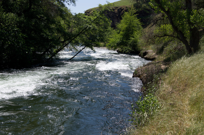
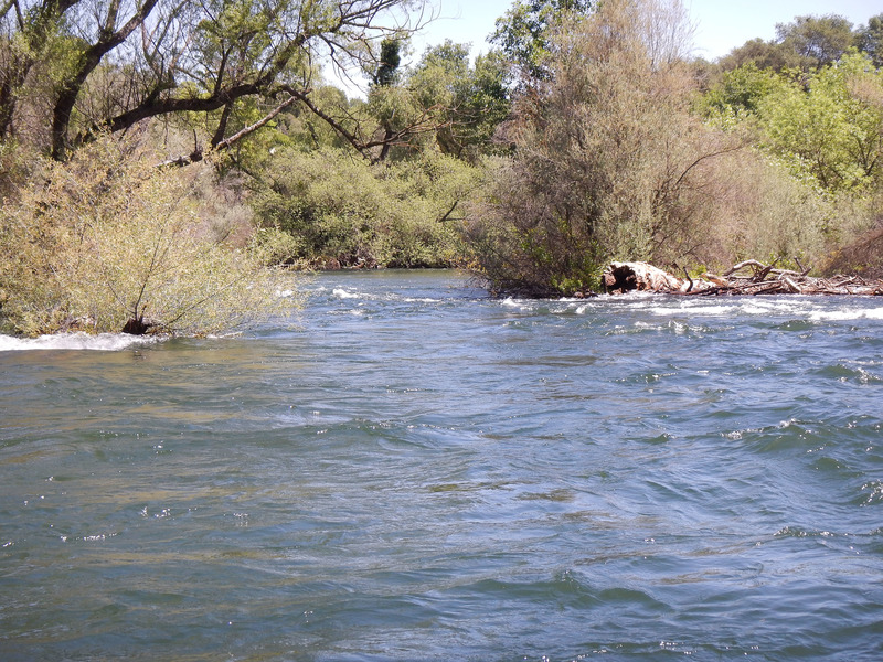
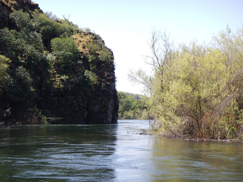
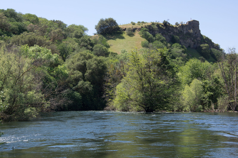
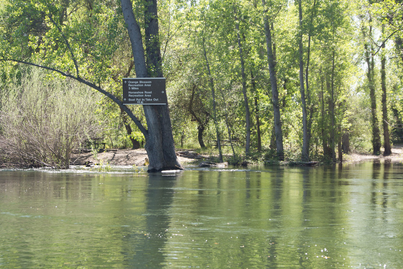
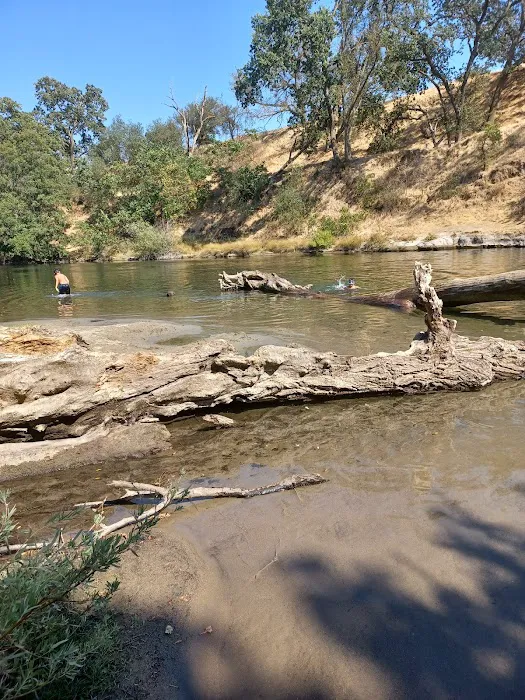
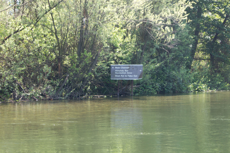
The Stanislaus below Knights Ferry is very scenic with beautiful cliffs and lush riparian forests. There are houses along the river in many areas, and there is traffic noise from highway 120 or Orange Blossom road in a number of areas. Yet, it mostly feels very secluded. In the summer time thousands of people float the river and there are two outfitters that rent rafts. Boaters looking for solitude will have to go early in the season or perhaps very early in the day during the summer. The Army Corp of Engineers has built a series of excellent parks and river recreation access areas along the river from below Goodwin Dam to the confluence with the San Joaquin River. These parks are part of the mitigation for the construction of New Melones reservoir.
There is one significant rapid at the beginning of the run, but after that the river is mostly flat with sections of swiftwater at 2500 cfs. At lower flows there may be more riffles.
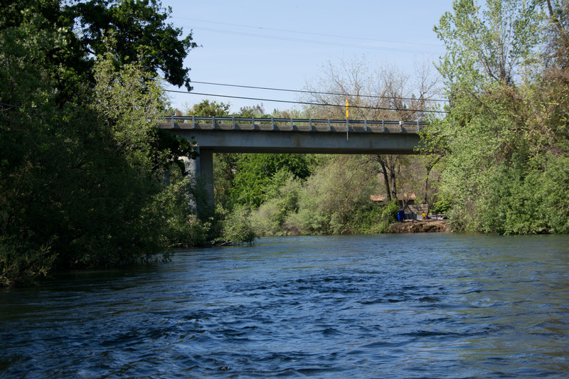
Getting There: The take out is just east of Oakdale and the river runs next to Highway 120, the northern highway into Yosemite National Park. From the north, one can take Highway 120 from Manteca, or 108 from the Modesto area. Coming from the south, one can take J59 north from Merced, or turn directly north at Atwater or at Turock.
Take-out: Orange Blossom Recreation Area is a few miles east of Oakdale. has parking, picnic areas and hiking trails. From Highway 120 look for Orange Blossom Rd. Immediately after crossing the river over the Orange Blossom bridge, turn left onto Roddon Road, then left again into Orange Blossom Recreation Area.
Put-in: Knights Ferry Recreation Area is about 7.3 miles upstream on Orange Blossom road. There are large parking areas on both sides of the river, but the easiest river access is on river right at the visitor center parking area. The center is run by the Army Corp of Engineers.
Knights Ferry Information Center
(209) 881-3517
Other useful information:
cacreeks.com
Bay Area Canoeing
Salmon spawning gravel restoration
Stanislaus River Parks
Knights Ferry History
Pashnit.com page about Knights Ferry
1860's Knights Ferry Photo
1860's Knights Ferry Photo
New Melones information
Difficulty
Class I(II)
Length
7.8 mi
Rapids
9
Access Points
Difficulty Classes
I Easy
II Novice
III Intermediate
IV Advanced
V Expert/Extreme
VI Unrunnable
Current Conditions
5-Day Forecast
Whitewater data from
American Whitewater
American Whitewater