Landsburg bridge to Maplewood Roadside Park
Linked via: Proximity 96% confidence Synced 6mo ago
Gauge Conditions
Runnable: 400.0 – 1,200.0 CFS
Data from American Whitewater & USGS
Run Map
Run Time Estimate
Select put-in and take-out to estimate time.
Unlock Advanced Trip Planning
See wind-adjusted speed maps, forecast planning, and detailed time estimates.
Sign in to generate an AI timing estimate for this run.
Whitewater timing varies with scouting, portages, and group pace. Use as a planning baseline.
Description
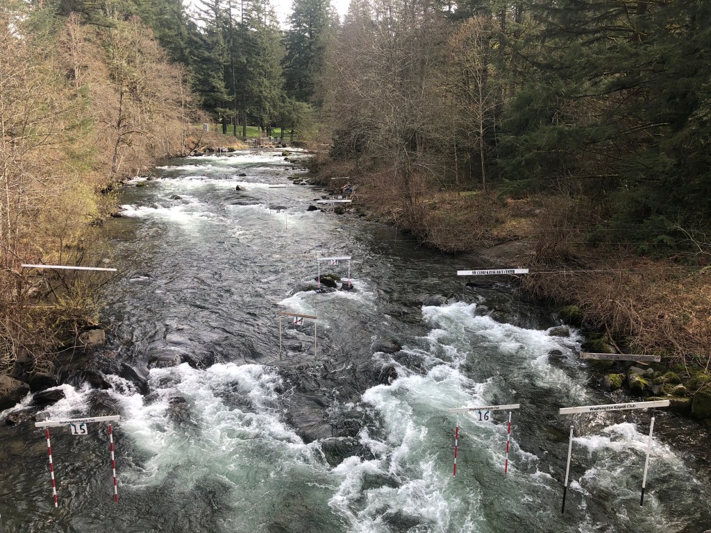
The Cedar Rivers is the site of the annual Cedar River Slalom race typically held in late March every year. For additional information see League of Northwest Whitewater Racers site. The race course is set up as a permanent whitewater slalom training site that is maintained by local volunteers throughout most of the year. Good flows begin with the fall rains and continue through the spring.
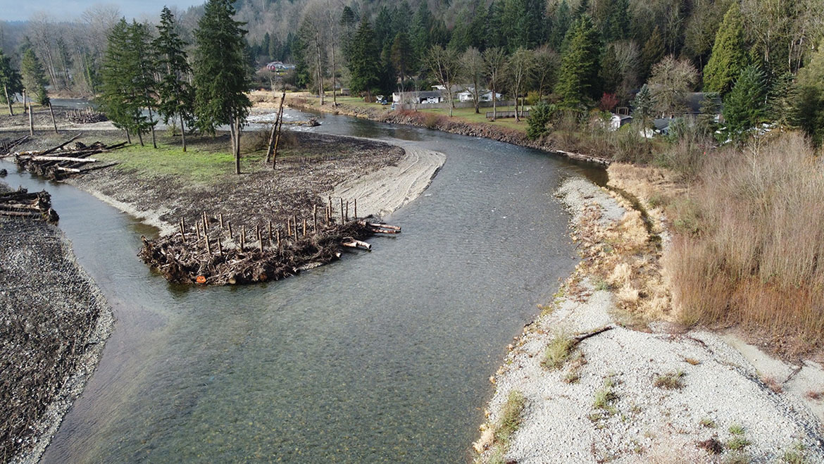
For those who run the river, small boulders provide good eddies and ample opportunities for practice. Some sections pass through braided channels that can collect wood debris and paddlers need to be aware of wood hazards particlarly at higher flows. King County has purchased a number of parcels along the river that are now managed as natural areas with forest restoration actively underway in the riparian corridor. As you approach Renton evidence of human impacts becomes more evident. This lower section is a bit easier in terms of whitewater and sometimes used by instructors working with beginners.
Access Logistics:
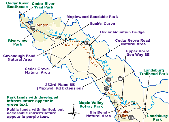
To reach the Landsburg Whitewater Slalom Course, the uppermost put-in, take Exit 17 (Front Street) off I-90 in Issaquah. Drive south on Front Street through downtown Issaquah. Although the road changes names a few times, continue south for 12.5 miles until you reach the Landsburg Bridge, which crosses the river. Along the way, you’ll pass under Highway 18 and the Hobart store/post office.
For those planning to run the river, you can go from Landsburg down to Lake Washington, with several access points along the way. A popular intermediate access point is Rotary Park, located at the Highway 169 bridge near the junction with Highway 18. This access point is 7.5 miles into the run. If you wish to run the lower section (an additional 9 miles), there’s a take-out on the right bank at Maplewood Roadside Park, located about a mile east of the Highway 169/I-405 junction. Refer to the map for additional access points near bridges along the route.
Rapids in this Run (10)
 Rapid
II
Rapid
II
Cedar River Slalom Course at Landsburg
 Rapid
Rapid
Landsburg Trailhead Access
 Rapid
Rapid
Dorre Don Natural Area
 Rapid
Rapid
Fred V. Habenicht Rotary Park, Highway 169 and Highway 18 Bridges
 Rapid
Rapid
Cedar Grove Road Natural Area
 Rapid
Rapid
Belmondo Reach Natural Area
 Rapid
Rapid
SE Jones Road Access
 Rapid
Rapid
Maplewood Roadside Park Access
 Rapid
Rapid
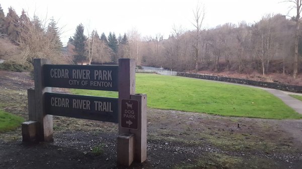
Cedar River Park
 Rapid
Rapid
Jones Park City of Renton Access
Difficulty
Class II
Length
22.0 mi
Rapids
10
Access Points
Difficulty Classes
I Easy
II Novice
III Intermediate
IV Advanced
V Expert/Extreme
VI Unrunnable
Current Conditions
5-Day Forecast
Whitewater data from
American Whitewater
American Whitewater