Lower – Potter Valley Rd to Hwy 20/Lake Mendocino
Linked via: Proximity 82% confidence Synced 6mo ago
Gauge Conditions
Runnable: 250.0 – 800.0 CFS
Data from American Whitewater & USGS
CDEC Flow Data California
Data from California Data Exchange Center (CDEC)
Run Map
Run Time Estimate
Select put-in and take-out to estimate time.
Unlock Advanced Trip Planning
See wind-adjusted speed maps, forecast planning, and detailed time estimates.
Sign in to generate an AI timing estimate for this run.
Whitewater timing varies with scouting, portages, and group pace. Use as a planning baseline.
Description
This is a fun run. Many good play spots. This is called a river but it is really a creek at this point. Expect to be creekin'!
History:
It is one of those engineering marvels from another era that is made possible by a coincidence of nature. The Eel River is only a few miles from the upper reaches of the Russian River drainage but it is separated by several hundred feet of elevation. PG&E saw this as an opportunity to extract energy from this water by drilling a tunnel through the ridge that separates the two rivers. The cost of labor, the environmental impact, and the liability would probably preclude this project if it were proposed today.
Eel River water is metered from Lake Pillsbury to the much smaller Van Arsdale reservoir ten miles below. From there, water flows through the ridge to a generating station in Potter Valley. This water then joins with the East Fork of the Russian River and about ten miles later it enters Lake Mendocino. Without this additional water, the Russian River would be pitifully small during the summer months. Old- timers tell of some stretches of the river where no above ground flow connected the occasional pools.
This section's flows may change in the future when the Eel River Potter Valley dams are removed, as is the plan for as early as 2028.
Description:
The last three miles of the East Fork of the Russian River provide a delightful Class II+/III run. This stretch is short, relatively continuous, has a good ender spot, has an easy put-in and take-out, and a very easy shuttle. You may run it as a warm-up to the Pillsbury Run on the Eel.
_Warning:_ There is a Class V/VI rapid called Three-Rock Falls by the locals that is just above this run. It should probably be portaged by most people at most water levels. This area has taken the lives of several innertubers and there are signs warning boaters to portage around it. There is at least one undercut rock that would be difficult to avoid at lower water. Scope this for fun (there's a trail alongside the road/river), and make sure you're putting in below this beast, by marking this rapid's coordinates on your Gaia/GPS.
Detailed run description:
Class I+ and II rapids begin right away. There are two sections above the bridge that probably rate close to II+. The 'ender spot' is below the second of the more difficult sections. The river drops down a small fall. A number of us were able to 'get vertical' without too much effort. You will need to experiment with it to find the best approach.
The stretch below the bridge (the lower put-in) is relatively easy for about a half- mile. The toughest rapids are Class I+ and the biggest obstacles are strainers. Watch-out for newly fallen trees.
The crux of the run occurs about a mile below the bridge as the river splits at an left- hand turn. The right-hand branch is a bolder clogged chute that continues for sever hundred yards. This is the toughest class II+ passage on the run and you may want to scout it. Scout from the island between the two branches.
After a couple of Class II sections, you will be in the lake and, after a few more minutes of paddling, you will be at the take-out.
Take-out: Highway 20 travels East from Highway 101 just north of Ukiah. It follows the north shore of Lake Mendocino for the first few miles. The take-out is under the bridge where Highway 20 crosses the East Fork near the north-east corner of Lake Mendocino. Look for a road heading down and to the north just East of the Bridge. This road is labeled 'Lake Mendocino Recreation Area.' Follow this to the obvious turn-out (complete with trash can, and picnic table) just beyond the bridge.
Put-in: It is along Potter Valley Road which goes north from Highway 20 less than two-miles above the bridge. The road is well marked and with a sign pointing to Lake Pillsbury and the town of Potter Valley. You can recognize this put-in by its parking lot which is separated from the main road. A short dirt road goes to the right and toward the river. Up until here, the only parking has been at turn-outs on the road.
The bridge put-in is much easier and makes the total trip less than two-miles. The disadvantage is that you will miss some excellent white water and the ender spot.
Additional information:
- CACreeks
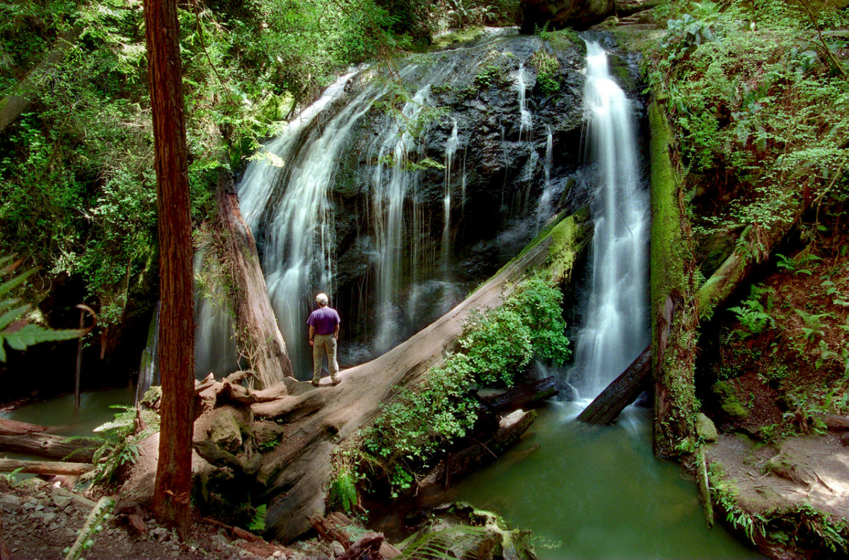
Waterfalls (1)
Hazards & Portages (1)
Caution: The following locations may require scouting or portaging. Always check current conditions.
Difficulty
Class III
Length
2.4 mi
Gradient
20 ft/mi
max 40
Rapids
0
1 Hazard
Access Points
Difficulty Classes
I Easy
II Novice
III Intermediate
IV Advanced
V Expert/Extreme
VI Unrunnable
Current Conditions
5-Day Forecast
Whitewater data from
American Whitewater
American Whitewater