Moon Valley Drive to end of gradient (<0.5 mile)
Linked via: Proximity 97% confidence Synced 6mo ago
Gauge Conditions
Runnable: 200.0 – 800.0 CFS
Almost certainly too low for reasonable whitewater boating. (Likely less than 100 cfs. Correlation not assured.)
Primary
Runnable: 90.0 – 360.0 CFS
Absolutely too low for any reasonable whitewater. (Likely less than 100 cfs. Correlation not assured.)
Primary
Runnable: 125.0 – 400.0 CFS
Boat abuse! (Too low for any real whitewater.)
Data from American Whitewater & USGS
Run Map
Description
Quick Facts:
Location: within Green Bay city limits, east from downtown.
Shuttle Length: 0.6 miles (carry up).
Drainage area at put-in: approximately 15.7 square miles.
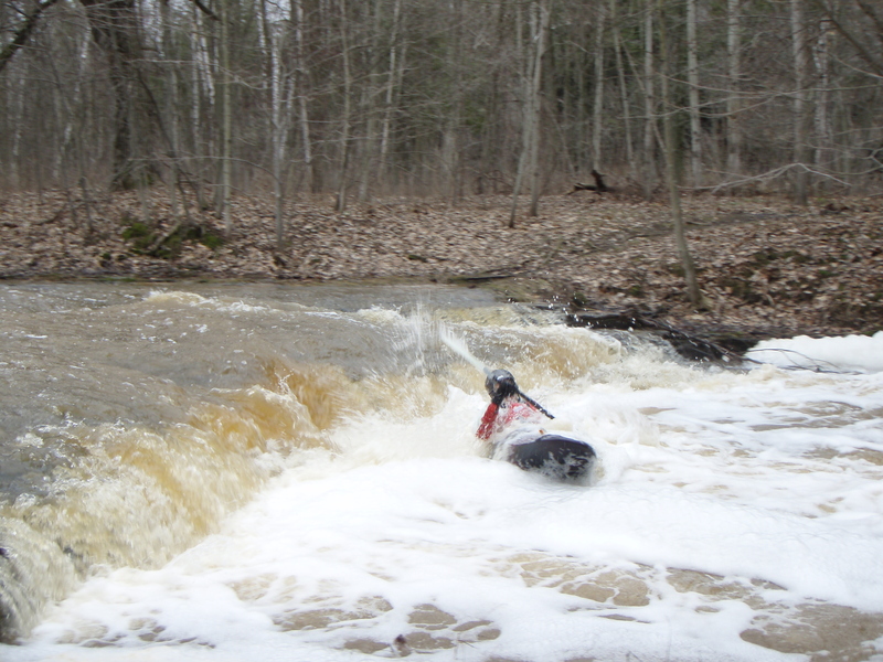
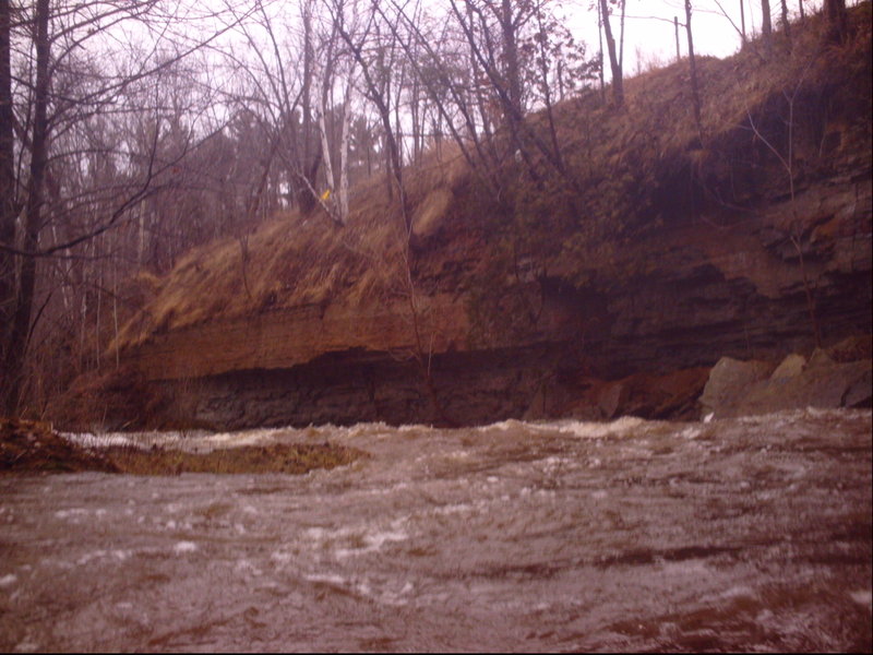
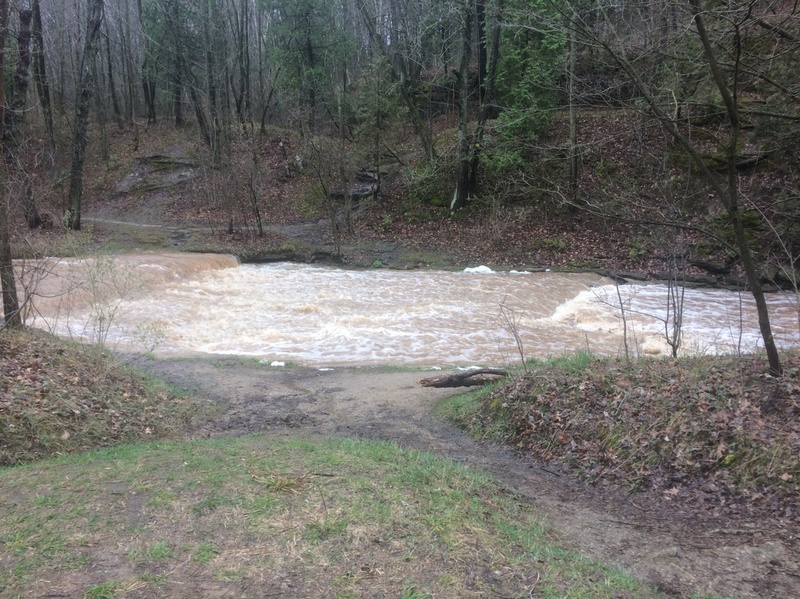
Character: Intimate creek, in a park, with water sheeting across bedrock with short ledges.
Put-in is approximately 662' elevation.
Take-out is approximately 610' elevation.
Thus total elevation change is approximately 52'.
Nearby ('companion') runs (with drainages, for comparison): Bower Creek (14.8sq.mi.), School Creek (15 sq.mi.), Devil's River (36 sq.mi.), Neshota/West Twin (43 sq.mi.).
General Overview
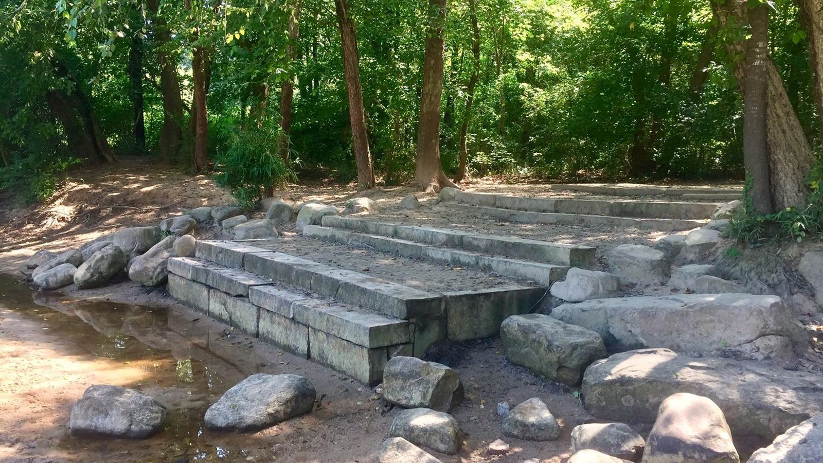
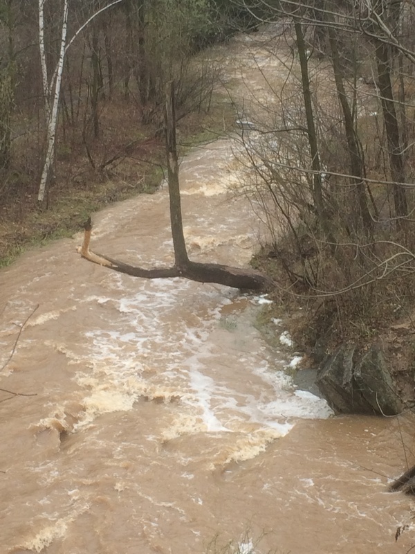
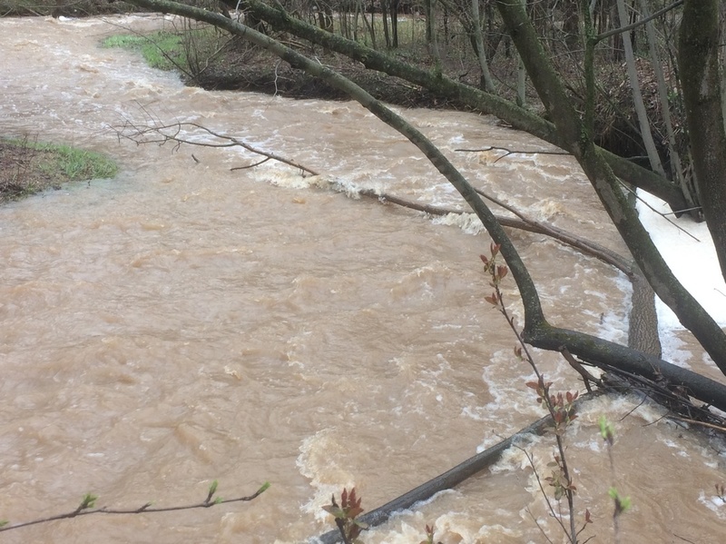
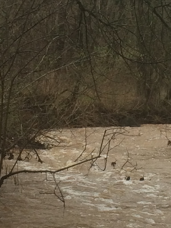
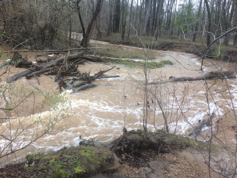
This short reach lies entirely within a city park, through which there is a paved path plus a system of dirt trails for hiking and off-road biking. Put-in at Moon Valley Drive, just off of Baird Creek Road (with I43 passing overhead). A series of short ledges in this little creek will provide busy entertainment for whitewater boaters -- great fun if you have the skills and proper equipment, significant danger if you do not have the skills and healthy respect for the technical nature of this run at moderate-to-high flows! Caution is urged, as deadfalls and snags are common. Get out as soon as the gradient peters-out and deadfall becomes plentiful. This will maximize the fun, minimize the frustration and danger, and minimize the hike back to your vehicle. Carry up and do it again!
It is highly recommended (virtually mandatory!) to walk the whole reach before putting on, to be aware of the overhanging trees and snags and deadfall in the river, and carefully assess your ability to navigate the twists and turns. At virtually any boatable flow, there will be very few (and small) eddies. **If you can't catch a 'one boat eddy' (or if you don't even know what that means), you should *not* be in a boat on this tiny creek! Any downed tree or substantial overhanging branch is potentially deadly if you are swept into it! (And there WILL BE downed trees and overhanging branches!)
Technically, the actual rapids almost never rate above a class III. However, at anything above bare minimum flows, you need the manueverability of a proper whitewater boat, and skills more nearly in the class III-IV range! Contrary to logic or expectation, smaller creeks like this can be more dangerous than some larger rivers, precisely because they will have so much UNAVOIDABLE overhanging shrubbery and deadfall, and essentially need to be in flood to run, meaning there won't be many eddies. You will be swept into things, and the strength of the current can make it impossible to get you or your boat out of the flow. If you are not a strong, experienced whitewater paddler, expect to lose your paddle and possibly your boat if you flip or swim.**
This and the listed nearby 'companion' runs are fairly similar drainages, so it is quite likely that these will all be 'up' at the same time. These are also all fairly short runs, which should allow for a 'daily double', or triple, or quad! It also gives you a 'backup plan' in the event any of them is unrunnable (due to wood or water level), so you are unlikely to be 'skunked' (unable to find at least one of them boatable when gauges indicate runnable flows).
For what it's worth, while topo maps show additional gradient upstream of our listed put-in, (1) there is little convenient access (other than hiking up, lengthening your walk on muddy trails), (2) the stream is even more narrow and very brushy, and (3) it lacks the bedrock riverbed which creates the rapids in the listed reach.
Rapids in this Run (3)
Playspots (2)
Hazards & Portages (4)
Caution: The following locations may require scouting or portaging. Always check current conditions.
Difficulty
Class II+
Length
0.5 mi
Gradient
60 ft/mi
Rapids
3
4 Hazards
Access Points
Shuttle Info
Shuttle for this short reach is generally on foot, walking back up to your car.
Difficulty Classes
I Easy
II Novice
III Intermediate
IV Advanced
V Expert/Extreme
VI Unrunnable
Current Conditions
5-Day Forecast
Whitewater data from
American Whitewater
American Whitewater