Mowbray to Soddy
Linked via: Nhdplus discovery 90% confidence Synced 3mo ago
Gauge Conditions
Runnable: ? – ? CFS
Approximate reading: This gauge is 4.5 miles away on Deep Creek. Use as a general reference only.
Data from American Whitewater & USGS
Run Map
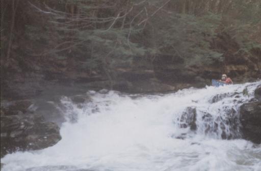
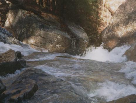
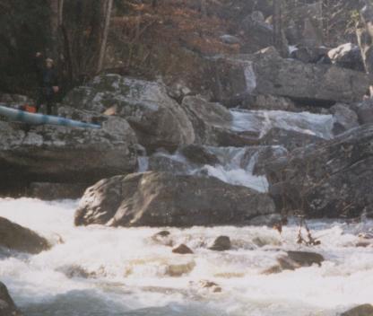
Description
This is a gem of creek, that has been raped from Rock Harvesters.
Trib. of Soddy Creek on Waldens Ridge for more details please click on the link below.
Rapids in this Run (3)
Difficulty
Class V
Length
4.4 mi
Gradient
400 ft/mi
Rapids
3
Access Points
Difficulty Classes
I Easy
II Novice
III Intermediate
IV Advanced
V Expert/Extreme
VI Unrunnable
Current Conditions
5-Day Forecast
Whitewater data from
American Whitewater
American Whitewater