Namekagon Dam to St. Croix River (up to 99 miles) Scenic
Linked via: Proximity 95% confidence Synced 6mo ago
Gauge Conditions
Runnable: 90.0 – 500.0 CFS
Low-boatable. (We need your input! Add a comment or report about flow and class/difficutly.)
Data from American Whitewater & USGS
Run Map
Put-in
Take-out
Rapids/Hazards
Scenic
Recreational
Run Time Estimate
Select put-in and take-out to estimate time.
Unlock Advanced Trip Planning
See wind-adjusted speed maps, forecast planning, and detailed time estimates.
Sign in to generate an AI timing estimate for this run.
Whitewater timing varies with scouting, portages, and group pace. Use as a planning baseline.
Description
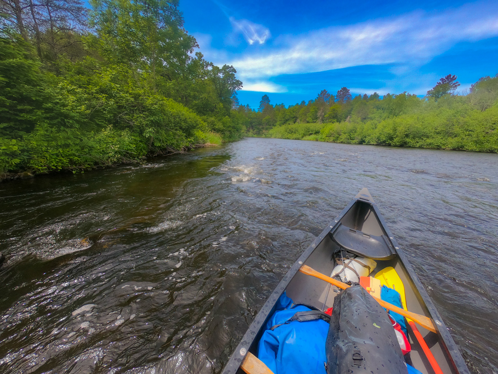
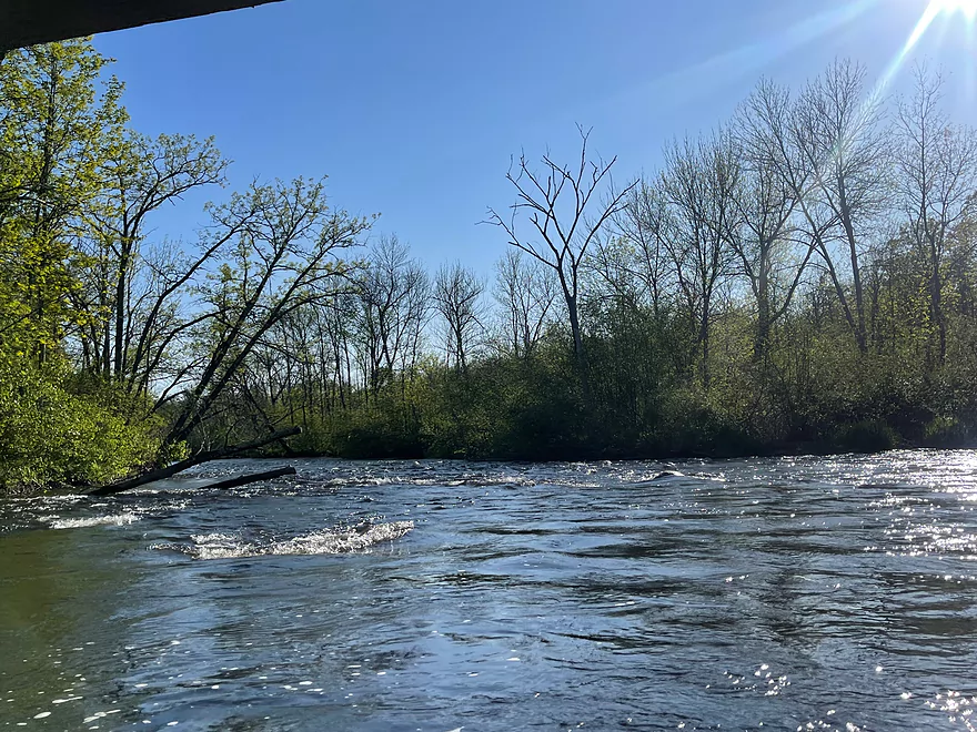
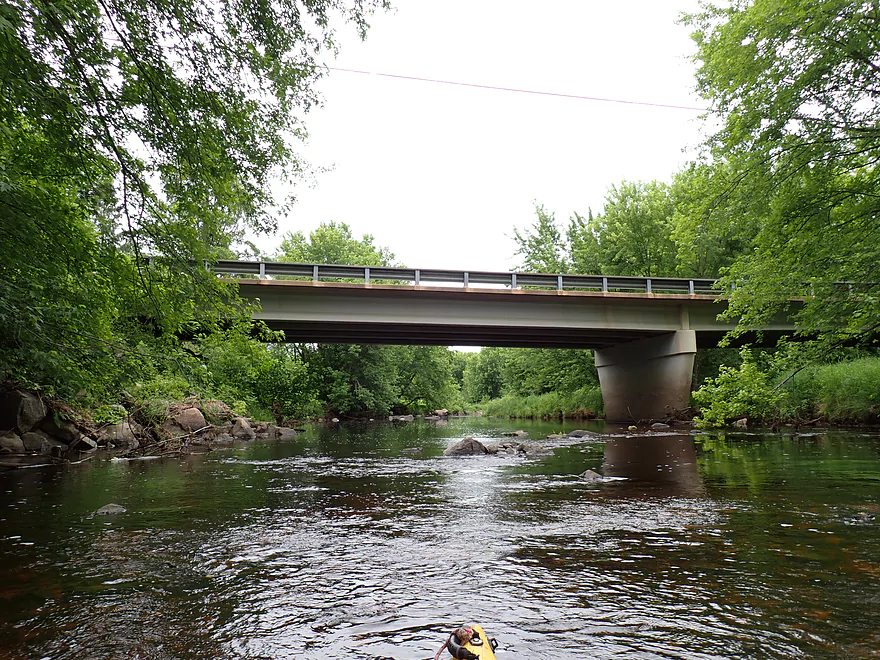
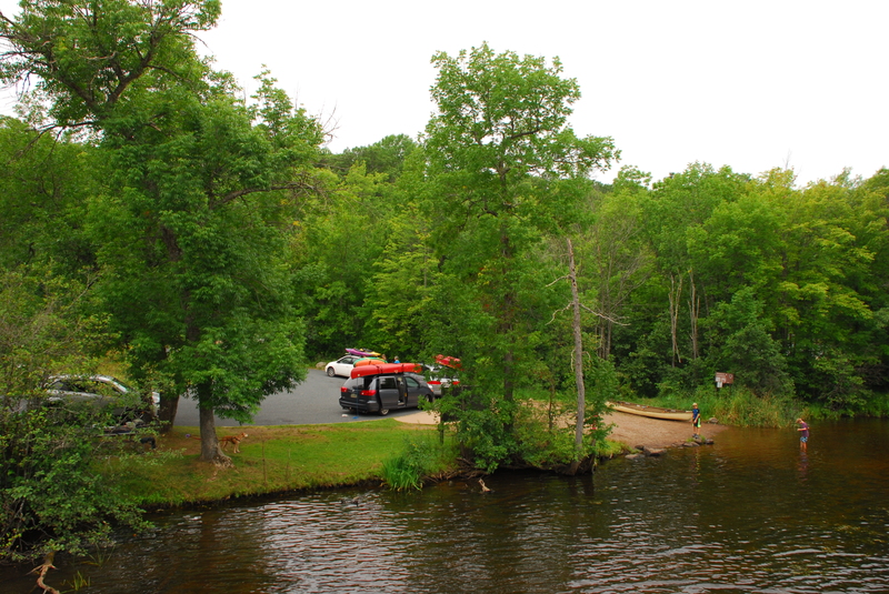
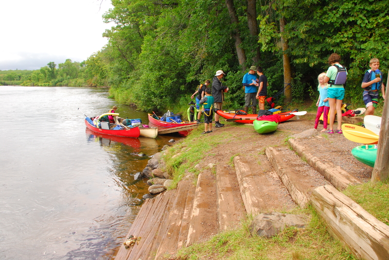
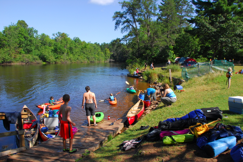
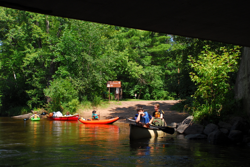
The Namekagon was designated as one of the original 8 Wild and Scenic Rivers in 1968 as part of the St. Croix Wild and Scenic River. This major tributary of the St. Croix has been a recreational destination for more than a century and remains popular for day trips and multi-day journeys through Wisconsin's Northwoods. Trips begin as high up as the Namekagon Dam. The communities of Cable, Seeley, Hayward, and Trego are located along the river which largely follows Highway 63 and then Highway 77. Formal access points are provided every few miles at bridge crossings and parks along the river, some of which provide overnight camping. Despite the number of access points that make it easy to customize a trip to fit your skills and time avaialable, the river still retains its wild character. Along the river designated camp sites (small 8 person sites and large 16 person sites) serve river runners with fire rings and pit toilets. The available campsites can get full on summer weekends.
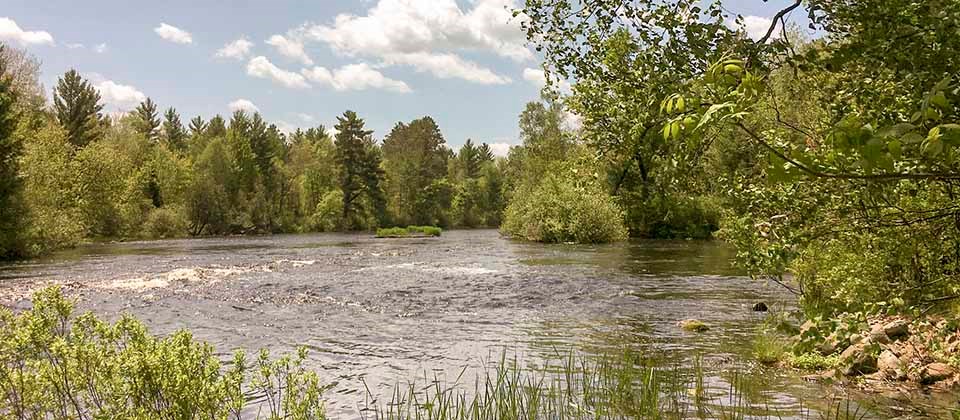
Most use open canoes for trips on the river and while much of the run is flatwater there are some easy class II rapids that require manuvering. The river is administered by the National Park Service which provides additional information on rules and regulations along with detailed maps and advice on how to enjoy your trip:
St. Croix/Namekagon Wild and Scenic River
The main sections of the river include the following:
1) Namekagon Dam to Hayward Landing (33.4 miles)
Namekagon Dam to Cable Wayside (13.5 miles, class I)
The river here is narrow and shallow with stretches of rocky rapids. Water levels can be extremely low and impassable during dry conditions. From Phillipi Landing (river mile 88.6) to Cable Wayside (river mile 86.0) water levels tend to be slightly better. The first ten miles of this stretch are isolated; expect numerous beaver dams, strainers (downed trees), and three low bridges.
Cable Wayside to Phipps Landing (11.5 miles, class I)
This section may be challenging during times of low water. Downstream from Cable Wayside (river mile 86.0) the river is calm, but shallow and rocky. It is usually possible to get a canoe under the low bridge at Leonard Schoolhouse Road (river mile 84.7), but there is also a portage to the right. A chute
at the old Pacwawong Dam site (river mile 82.2) can be canoed during high water or look for a portage to the right. Watch out for stainers. In several places there are many channels around islands. Downstream from Larsen Landing (river mile 77.8) the river is rocky with several small rapids.
Phipps Landing to Hayward Landing (8.4 miles, flatwater sections that includes a couple reservoirs)
As you enter Phipps Flowage (river mile 74.4), the river is slow with the channel becoming deep and wide. At the old Phipps Dam site (river mile 72.8), you can usually run the rapids or look for the sign to portage right. From Trout Run Landing (N72.0) to Hospital Road (river mile 69.8) you my encounter large groups of people on tubes. Hayward Lake (river mile 68.0) is large and open, making paddling difficult during a strong headwind. At the end of the lake, you must portage (on left) the dam. Be careful as the portage is sometimes slippery.
2) Hayward to Trego (28.8 miles)
Hayward Landing to Big Bend Landing (21.1 miles, class I/II)
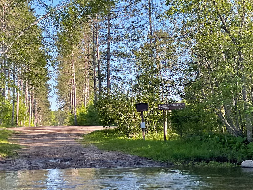
After Hayward Landing (river mile 66.1) the river is rocky and narrow, with a few small rapids, but a few miles downstream the river becomes sandy and slow. Water levels are usually good. Just downstream from Stinnett Landing (river mile 57.7) the river narrows forming a chute. As you continue downstream the river quickens with many Class I rapids. Watch for the main channel, smaller channels may be shallow or blocked. Downstream of Springbrook Landing (river mile 49.9), the river is mostly calm with a few small riffles and rapids.
Big Bend Landing to Lakeside Road Landing (7.7 miles, class I)
After Big Bend Landing (river mile 45.0) the river widens, slows, becomes sandy, and is an easy paddle. Earl Park Landing (river mile 41.3) is a popular put-in spot for people on tubes on hot summer days. Downstream, the river becomes narrow, often breaking into channels with a few rapids.
3) Trego to St. Croix Riverside Landing (37.3 miles)
Lakeside Road Landing to County Road K Landing (5.7 miles, flatwater reservoir)
Shortly after the Lakeside Road Landing (river mile 37.3) the river passes under Highway 53 and then there are five miles of slow paddling through the Trego Flowage (river mile 36.5). Be aware of wakes from fast moving boats. Once through the flowage there will be a sign for the required portage (on right) around the Trego Dam (river mile 31.6).
County Road K Landing to Howell Landing (14.3 miles, class I/II)
Many river trips on the Lower Namekagon begin here below the Trego Dam. Downstream of County Road K Landing (river mile 31.2) the river is narrow and contains riffles. Islands and sandbars are frequently encountered, however, water levels are usually good. After Whispering Pines Landing (river mile 21.3) the river widens and slows.
Howell Landing to the confluence (16.9 miles, class I/II)
Howell Landing (river mile 16.9) is a park with a big open field and plenty of space for groups (on busy weekends you will likely encounter several groups here). Many groups will just car camp here for a weekend and do day trips on different sections. Downstream of Howell Landing the river is somewhat rocky until you pass Highway 77, then it becomes sandy. Fritz Landing (river mile 13.7) can be hard to see. Watch for a small island and use the left channel if taking out here. The river widens after McDowell Bridge Landing (river mile 11.2). After Namekagon Trail Landing (river mile 4.8) the river becomes rockier with riffles and there are several Class I rapids before the confluence. The St. Croix River has a rocky bottom and is shallow, making it challenging during low water conditions. There are more rapids as you approach Riverside Landing (St. Croix River Mile 131.7) which is approximately 4 miles downstream of the Namekagon confluence with the St. Croix.
Rapids in this Run (27)
 Rapid
Rapid
County Road M Landing
 Rapid
Rapid
Cap Creek Landing
 Rapid
Rapid
Phillipi Bridge Landing
 Rapid
Rapid
Cable Wayside and Landing
Rapid
Gage Location
 Rapid
Rapid
Pacwawong Flowage Landing
 Rapid
Rapid
Thompson Bridge Landing
 Rapid
Rapid
Larsen Landing
 Rapid
Rapid
Phipps Landing
 Rapid
Rapid
Trout Run Landing
Rapid
Eagles Landing
Rapid
Hayward Landing
 Rapid
Rapid
West River Landing
 Rapid
Rapid
Stinnett Landing
 Rapid
Rapid
Groat Landing
 Rapid
Rapid
North Springbrook Landing
 Rapid
Rapid
Springbrook Landing
 Rapid
Rapid
Big Bend Landing
 Rapid
Rapid
Earl Park Landing
Rapid
Lakeside Road Landing and Visitor Center
Rapid
Trego Town Park Landing
 Rapid
Rapid
County Road K Landing
 Rapid
Rapid
Whispering Pines Landing
 Rapid
Rapid
Howell Landing
 Rapid
Rapid
McDowell Bridge Landing
 Rapid
Rapid
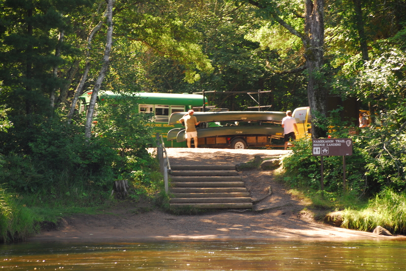
Namekagon Trail Landing
Rapid
Riverside Landing (St. Croix)
Difficulty
Class I-II
Length
98.9 mi
Rapids
27
Access Points
Difficulty Classes
I Easy
II Novice
III Intermediate
IV Advanced
V Expert/Extreme
VI Unrunnable
Current Conditions
5-Day Forecast
Whitewater data from
American Whitewater
American Whitewater