NFR 43 to Little Missouri (3 miles)
Crooked Creek (Montgomery Co.)
Linked via: Unknown Synced 6mo ago
Gauge Conditions
Runnable: 6.5 – 12.0 FT
Data from American Whitewater & USGS
Run Map
Run Time Estimate
Select put-in and take-out to estimate time.
Unlock Advanced Trip Planning
See wind-adjusted speed maps, forecast planning, and detailed time estimates.
Sign in to generate an AI timing estimate for this run.
Whitewater timing varies with scouting, portages, and group pace. Use as a planning baseline.
Description
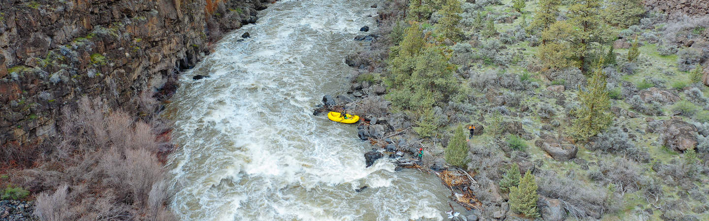
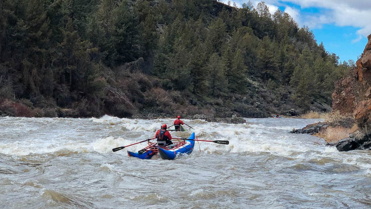
This micro creek flows along NFS road and into Little Missouri above Albert Pike campground. Road scout and run what looks good!
Note: The combination of steep banks and small creek size tend to clog the creek with wood from time to time, so keep look out.
Two main sections of drops.
The upper section is tiny and consists of 10+ drops of 5-8 feet in rapid succession. A quick break and then 'Backbreaker Falls', a 15+ foot rocky drop.
The lower section is 0.6 miles with 4 main ledgey/slot drops in the class III/IV range. This starts at the low water bridge for the road that goes to Little Missouri Falls. The first drop is a stairstep ledge with a hole or two among the rocks. Cross under a bridge and be prepared to run the next two drops in quick sucession. A large boulder on the left and a steep bank on the right. Work around to the left behind the boulder and take one of several routes over the ledge. The far left offers a slot/boof/turn move. The next drop offers a sweet boof over an 8-foot ledge. Watch for the piton rock on the lip and bottom right. The hole can get hungry a big levels. Work through the willows to the take-out bridge and last rapid. Go under the bridge, negotiate the tight rocky turn to the the left. A few smaller drops are located below the takeout bridge and are accessible by the road.
Rapids in this Run (6)

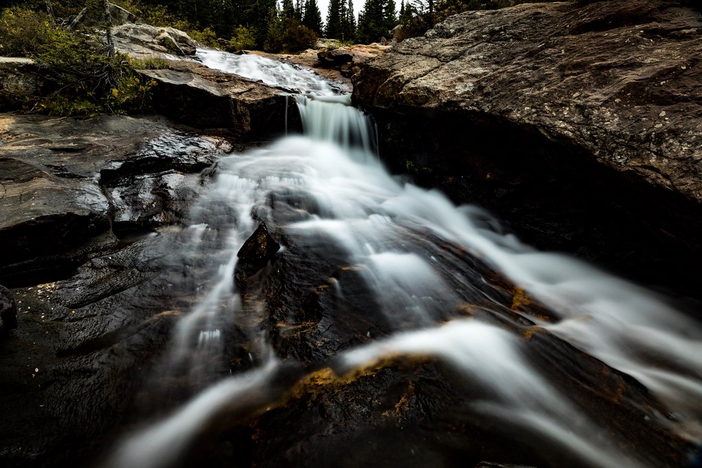
Waterfalls (1)
Hazards & Portages (2)
Caution: The following locations may require scouting or portaging. Always check current conditions.
Difficulty
Class III-IV+
Length
3.0 mi
Gradient
115 ft/mi
max 200
Rapids
6
2 Hazards
Access Points
Shuttle Info
Roadside Run on CR 43. Access from the south through Albert Pike Campground or from the North from Hwy 8
Difficulty Classes
I Easy
II Novice
III Intermediate
IV Advanced
V Expert/Extreme
VI Unrunnable
Current Conditions
5-Day Forecast
Whitewater data from
American Whitewater
American Whitewater