North Fork Bridge to Confluence
Linked via: Proximity 95% confidence Synced 3mo ago
Gauge Conditions
Runnable: 5.0 – 9.0 FT
Data from American Whitewater & USGS
Run Map
Description
This is a beautiful run with some fun whitewater. Since it is on private forest land the run is only accessible on weekends when the roads are open to the public. The significant rapids can be seen from the road and easily portaged.
The trip can start with a short walk through the Valley of the Giants, putting in at the foot bridge. With 7' or more on the gauge, paddlers will find splashy, continuous III+/IV rapids down to Boulder Creek. Below 7' this section is more rocky and less continuous.
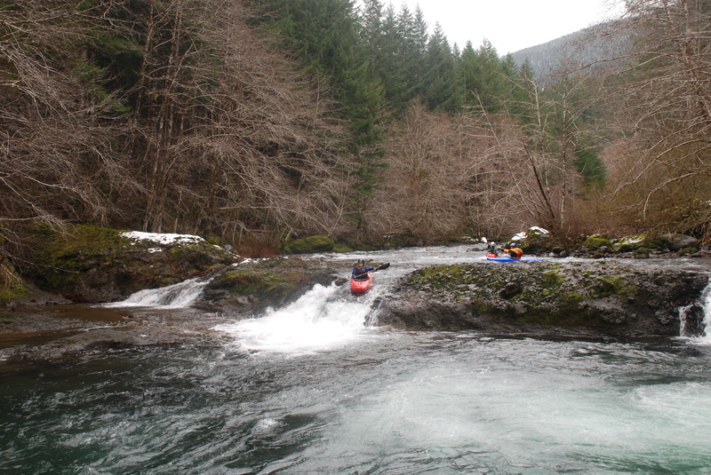
Starting out from Boulder Creek the river flows through fun pool-drop rapids before you reach the ledge drop about a mile into the run. Pick your route depending on flows. At low flows there are a couple slots. At high flows this thing forms a massive river-wide hole.
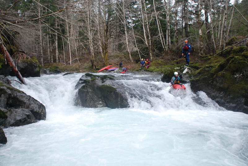
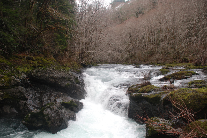
More fun rapids take you down to _Bombshell,_ a short gorge with an entry rapid and three additional rapids in the gorge. This one is easy to scout from the road.
Further downstream you will reach _Go Reit, mann_, a narrow chute that drops into a narrow slot in the bedrock ledge. This drop is often portaged or you can also use this as an alternate take-out. It is about another mile with some splashy class II down to the confluence of the North and South Forks.
See the North Fork Siletz description at Oregon Kayaking for pictures and description of the run at high water.
Trip Report at low flows from Into the Outside.
Video
Logistics: At Highway 411 mile post 7.8 in Logsden (15 miles from Nashville or 8 miles from Siletz) turn on to Moonshine Park Road which heads up along river left. At mile 3.5 on Moonshine Park Road the county maintained road ends and the start of the gravel roads marks the entrance to Toledo Forest, private commercial timberland owned by Plum Creek for which access is only available on weekends.
To reach the take-out start up this private gravel road (mile 0) and stay on the mainline road until you reach the North Fork Bridge at its confluence with the South Fork at mile 15.8. Key points along the include the bridge across the Siletz at mile 3.7, the Buck Creek bridge at mile 5.2 (follow the road around to the right immediately after crossing the bridge but bear to the left at the Y junction shortly thereafter--going right will take you down to the Buck Creek put-in for the main Siletz), and Elk Creek Bridge at mile 11.6.
To reach the put-in, cross the North Fork, head up the South Fork 0.1 mile and turn up the 100 road that goes up the North Fork. At mile 1.0 on this road you will be along the river at _Go Reit, mann_ (an alternate take-out). Mile 3.4 is the entrance to the gorge which is worth a scout. At mile 5.1 you cross Boulder Creek which is the put-in. You can continue on up to the bridge across the North Fork or further up to run the Valley of the Giants section.
Rapids in this Run (3)
Difficulty
Class II-IV+
Length
4.8 mi
Rapids
3
Access Points
Difficulty Classes
I Easy
II Novice
III Intermediate
IV Advanced
V Expert/Extreme
VI Unrunnable
Current Conditions
5-Day Forecast
Whitewater data from
American Whitewater
American Whitewater