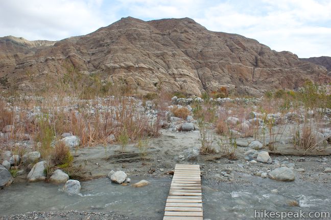
Off-trail Put-in to Salmon River
Linked via: Proximity 99% confidence Synced 6mo ago
Gauge Conditions
Runnable: 5,000.0 – 7,500.0 CFS
Data from American Whitewater & USGS
Run Map
Description
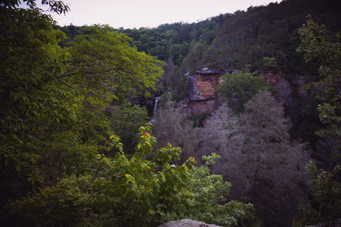
Overshadowed because of its location near the legendary Bridge Creek, Crapo Creek holds its own as a low volume steep creek, although it is a chore to get in and the run can be quite brushy and wood-filled. This creek is steep: average gradient is 368 feet/mile and it exceeds 470 feet/mile in sections. It is not a classic run by any means, although it enjoyed a brief heyday in the early to mid-2000s among young kayakers who were exploring new runs in the area. It has likely not been run much, if at all, since that era.
After a backroad drive on dirt road, a steep one mile off-trail hike leads to the small, steep creek. It is pronounced _cray-poh_ and due to its high country meadows and abundant springs, it flows with greater volume than its watershed size suggests, particularly in summer.
The creek alternates between steep rocky sections and bedrock slides. With sufficient flows--but not too much--both are fun. Be prepared to scout and portage and also run some blind drops. Be aware that there is a 30-foot vertical drop in the lower reaches of the creek, and few would choose to run it (this is the only section of the creek that flows through private property).
Wood moves every year in Crapo Creek, making it one of its most significant hazards. Recent fires in 2008 and 2017 have worsened the the wood and brush situation.
Even more than other runs in the Salmon watershed, you're out there in a place where nobody ever goes. It is quite remote and hiking out would be a challenge with steep slopes, dense brush, and tons of poison oak. Take everything you need to be safe and fully self-sufficient, including the gear, skills, mindset, and an inReach or other satellite communicator.
Although only four miles long, running Crapo Creek is a very long day, so start early.
Logistics
_Put-in_
To get to the put-in from the take-out at Nordheimer River Access, drive upriver on Salmon River Road to Forks of Salmon. Stay left in Forks and head up the North Fork on Sawyers Bar Road for 1.75 miles. Turn left onto Forest Service road 40N51 (Yellowjacket Road) that heads up Pollocks Gulch. This road may be gated until mid-April, but in recent years it has been open year-round though unmaintained in winter. Go 4.8 miles uphill on 40N51 until you hit the first saddle along the ridgeline where it briefly levels off. The Crapo Creek drainage will be on the left and the North Fork Salmon drainage on the right. Skipping the first hard left turn that's possible at the saddle, take the next left onto road 40N51D that heads down into the Crapo drainage. This road is rarely used and may be brushy. Drive as far as possible and then continue by hiking on the road until you reach a large landing at its end (at 41.3088, -123.2992). From here, drop straight downhill through the brush, trees, and poison oak to reach Crapo Creek. It's wicked steep and you'll drop about 400 vertical feet to reach the creek.
_Take-out_
Take out at the Nordheimer River Access on the Salmon River.
Flows
Perhaps best said by Dan Menten, one of Crapo Creek's biggest fans: 'In summary: 9 feet is too high, 7 feet on the gauge is perfect, and 5 feet is too low.' This is referencing the Somes Bar gage. Most boaters now use the CFS values from this gage; seven feet translates to 6800 cfs and five feet is about 3500 cfs.
Additional Info
Salmon River Restoration Council's Whitewater Recreation Page \- great overview and detail on the whitewater of the Salmon River drainage
Salmon River Hazard Map \- map of known hazards in the river and tributaries
Crapo Creek short video by Paul Gamache
The only guidebook with this run is Dan Menten's 2016 classic New School Guide to Northern California Whitewater. Note: few paddlers are as enthusiastic about Crapo Creek as Dan. The creek had a brief heyday of activity in the mid 00s and has rarely been run since. Wildfires in 2008 and 2017 have affected the Crapo watershed.
Darin McQuoid's Jefferson State Creeking formerly had an entry on Crapo Creek but it appears to be defunct as of 2022 although the comment section remains and has some useful insights.
Rapids in this Run (1)
Waterfalls (1)
Difficulty
Class IV-V
Length
3.8 mi
Gradient
367 ft/mi
max 470
Rapids
1
Access Points
Difficulty Classes
I Easy
II Novice
III Intermediate
IV Advanced
V Expert/Extreme
VI Unrunnable
Current Conditions
5-Day Forecast
Whitewater data from
American Whitewater
American Whitewater