Old Columbia Rd. to Savage Mill.
Linked via: Nhdplus discovery 90% confidence Synced 6mo ago
Gauge Conditions
Runnable: 200.0 – 600.0 CFS
Data from American Whitewater & USGS
Run Map
Run Time Estimate
Select put-in and take-out to estimate time.
Unlock Advanced Trip Planning
See wind-adjusted speed maps, forecast planning, and detailed time estimates.
Sign in to generate an AI timing estimate for this run.
Whitewater timing varies with scouting, portages, and group pace. Use as a planning baseline.
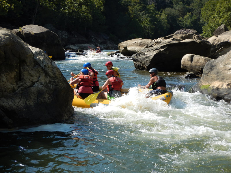
Description
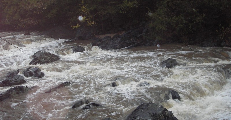
Park at Savage Mill and walk upstream about 1/4 mi. 'Savage Falls' consists of 3 riverwide ledges, class III+ to IV (dependent on level) with a total drop of 10-12', followed by a class III rapid that doglegs to the left. There are a few potential playspots, but it's level-dependent.
TopoZone Map
Ed Evangelidi testifies:
Savage Falls has been run successfully on river left or towards the middle with a series of basically Class 3 moves. However, each drop in this rapid has numerous pinning or boat crunching rocks. Scout carefully and be wary of rooster tails indicating hidden rocks at the bottom of any drop.
Rapids in this Run (3)
Difficulty
Class I-IV
Length
7.2 mi
Rapids
3
Access Points
Difficulty Classes
I Easy
II Novice
III Intermediate
IV Advanced
V Expert/Extreme
VI Unrunnable
Current Conditions
5-Day Forecast
Whitewater data from
American Whitewater
American Whitewater