Pine Campground to Davis Road
Linked via: Nhdplus discovery 90% confidence Synced 6mo ago
Gauge Conditions
Runnable: 150.0 – 1,500.0 CFS
Start driving with it's 150'ish and rising
Data from American Whitewater & USGS
Run Map
Run Time Estimate
Select put-in and take-out to estimate time.
Unlock Advanced Trip Planning
See wind-adjusted speed maps, forecast planning, and detailed time estimates.
Sign in to generate an AI timing estimate for this run.
Whitewater timing varies with scouting, portages, and group pace. Use as a planning baseline.
Description
The First Descent was recorded in Spring 2014 by Joey Tamarro and Brooke Sofferman
_Description by Joey Tammaro_
_Here’s a video of the river:_
https://youtu.be/6OKy4TATOq0
Locke brook is a creek in ashby mass. it is a tributary of the Squannacook river so you know its tiny.This micro creek flows into the Squannacook river draining higher lands to the north in mason NH. This creek is located about 30 miles from nashua NH Lowell MA and Worcster MA so it is fairly accessable.
The Pines camp ground in ashby is the location of the put-in. The camp owners are very nice and dont mind kayakers we are trying to keep them as happy as possible they have been wonderful land owners thus far. Be sure to stop in and say hey to Doug at the Campground office before you unload gear in their parking lot. They have bathrooms, showers and water available if you're nice and willing to toss them a few bucks.
This creek is very flashy and takes heavey rains of more then an inch to bring this into a runnable level.
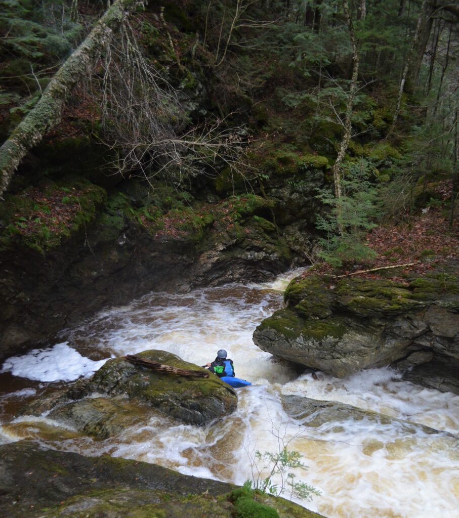
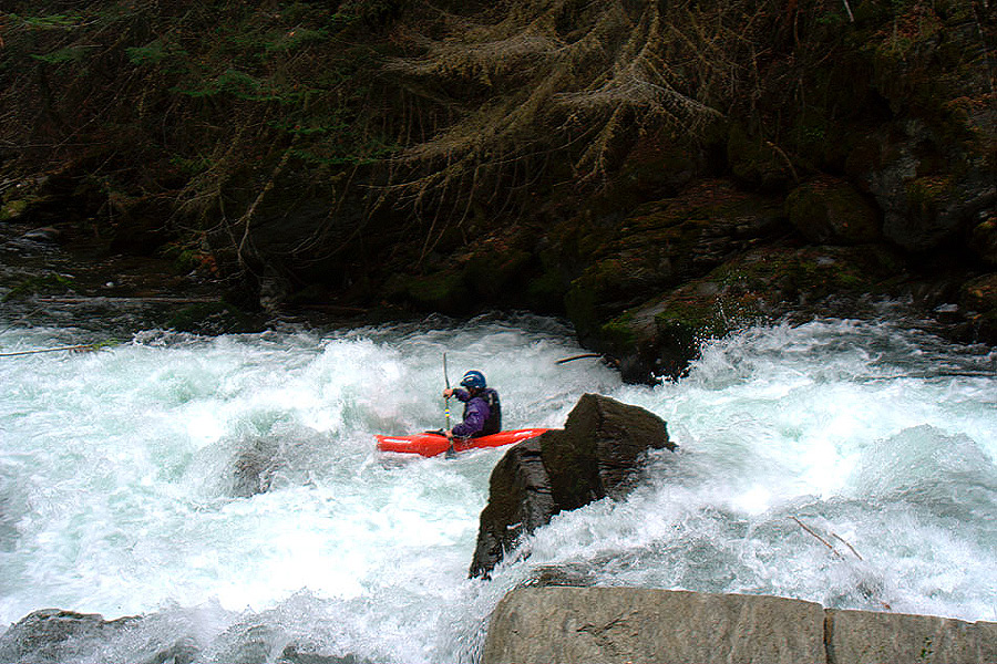
This run is about 2 miles long and drops a total of 323 feet over its entire lenth at low level it is bashy at high level its a great run very continous -IV/ IV nature
The area bellow the first rapid is is a huge log jam that creates this large pool but also breaks into many small streams get out and walk 25 yards around the mess put in right about next large drop and horizon line. Pine Campground wants this jam kept to create a swimming hole in the summer. Please leave the chainsaws at home.
After the main rapids listed, the river is mostly II/III to the takeout.
Rapids in this Run (7)


Hazards & Portages (2)
Caution: The following locations may require scouting or portaging. Always check current conditions.
Difficulty
Class IV
Length
1.1 mi
Gradient
150 ft/mi
max 200
Rapids
7
2 Portages
Access Points
Difficulty Classes
I Easy
II Novice
III Intermediate
IV Advanced
V Expert/Extreme
VI Unrunnable
Current Conditions
5-Day Forecast
Whitewater data from
American Whitewater
American Whitewater