private access (?) to FR2010 (4.4 miles)
Linked via: Proximity 98% confidence Synced 6mo ago
Gauge Conditions
Runnable: ? – ? CFS
Approximate reading: This gauge is 9.2 miles away on Haymeadow Creek. Use as a general reference only.
Data from American Whitewater & USGS
Run Map
Run Time Estimate
Select put-in and take-out to estimate time.
Unlock Advanced Trip Planning
See wind-adjusted speed maps, forecast planning, and detailed time estimates.
Sign in to generate an AI timing estimate for this run.
Whitewater timing varies with scouting, portages, and group pace. Use as a planning baseline.
Description
We have no specific awareness of runs of this creek.
Drainage is sufficient (at least 9-10 sq.mi. the listed put-in and 30 sq.mi. by the take-out) to allow for adequate flows during peak snowmelt or after heavy rains. However, that is also sufficiently small as to mean very probable problems with deadfall and strainers.
Gradient is sufficient to provide at least good swiftwater, if not actual whitewater features.
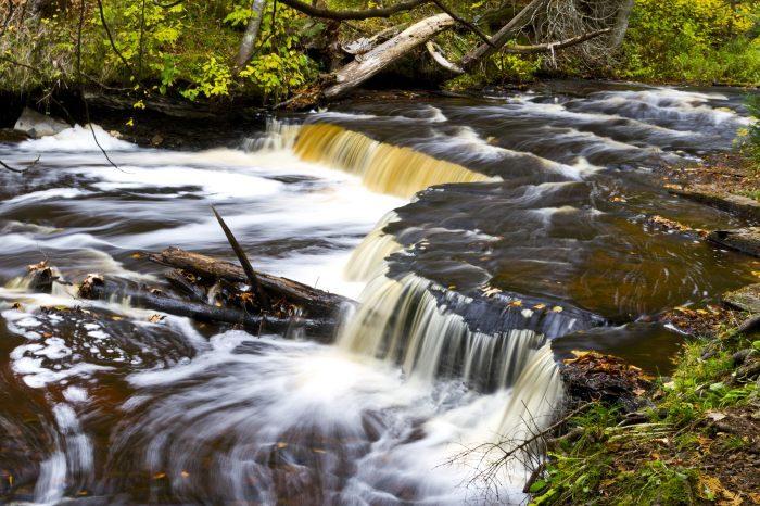
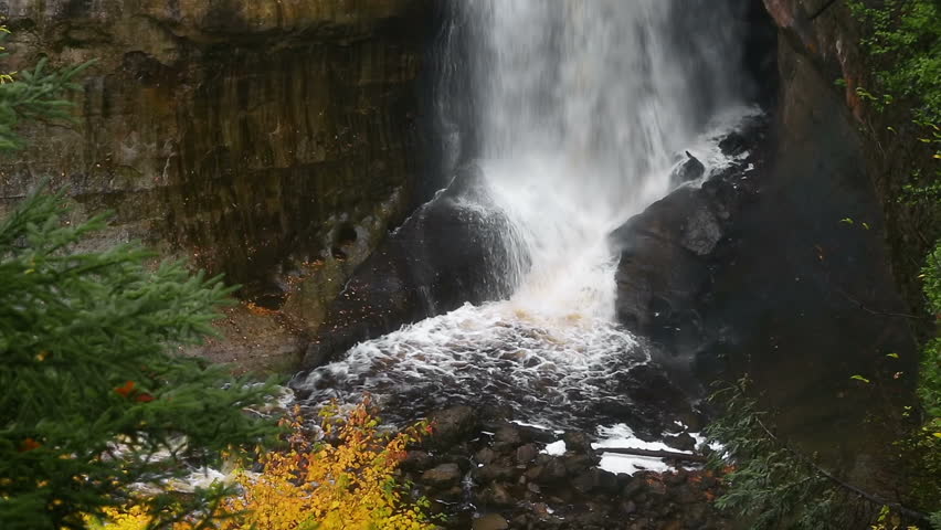
There is one marked, named falls (Haymeadows Falls) on this reach.
Photos and brief description of the falls (seen on Waterfall Record) show it to be a straight-forward ledge of 2-3' in height.
With good flow, it is entirely possible the 'falls' is little more than a wave or wave-train, but could develop a fine playable wave/hole at the right flows.
There is a campground and a half-mile trail which allows hiking to the falls (which may allow carrying in to just do a 'park-and-play', though it seems doubtful it would be worth the effort, compared to other play options on other rivers).
The is also mention of a footbridge. (We have no awareness about whether it allows adequate clearance for safe passage of boaters.)
Alternate access points (from those listed) do exist, allowing shorter trips.
So . . . has anyone ever scouted or boated this reach? Help out your fellow boaters with a comment or report!
Rapids in this Run (2)
Waterfalls (1)
Playspots (1)
Difficulty
Class I-II(III)
Length
3.9 mi
Gradient
25 ft/mi
max 40
Rapids
2
Access Points
Shuttle Info
It is unknown whether access may be obtained at the listed put-in location. It appears it may be on private land, accessible only with permission from owners. Consequently, the shuttle directions listed below may be of little specific use (if alternate access points are necessary or desired).
You can use the text-entry box to input your home or other starting location (address, lat/lng, or other format info) to get drive time, distance, and directions to this area.
Difficulty Classes
I Easy
II Novice
III Intermediate
IV Advanced
V Expert/Extreme
VI Unrunnable
Current Conditions
5-Day Forecast
Whitewater data from
American Whitewater
American Whitewater