Roseboro to Lost Cove Creek
Linked via: Proximity 99% confidence Synced 6mo ago
Gauge Conditions
Runnable: ? – ? CFS
Approximate reading: This gauge is 10.2 miles away on Gragg Prong. Use as a general reference only.
Data from American Whitewater & USGS
Run Map
Run Time Estimate
Select put-in and take-out to estimate time.
Unlock Advanced Trip Planning
See wind-adjusted speed maps, forecast planning, and detailed time estimates.
Sign in to generate an AI timing estimate for this run.
Whitewater timing varies with scouting, portages, and group pace. Use as a planning baseline.
Description
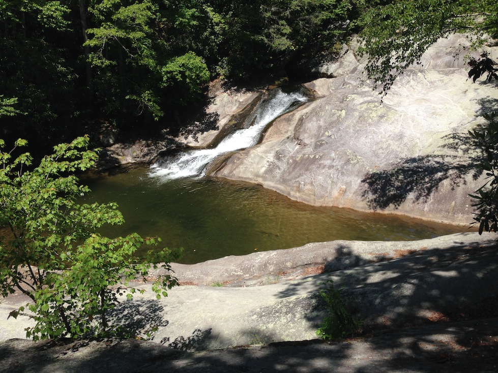
Feeling the need for speed? The Gragg Prong of Lost Cove Creek offers paddlers the chance to put the top down and feel the wind in their hair. The creek boasts a number of large, clean granite slides, one of which rivals Oceana in size.
The Gragg Prong starts as class III through a tight rhododendron tunnel and follows FS 981 for a short while. When the tunnel opens up, the gradient increases dramatically. First-timers should scout anything they can't see the bottom of. In most cases, scouting is pretty easy. While all the drops are relatively clean, some features can interrupt the progress of a moving boat in a few of the drops.
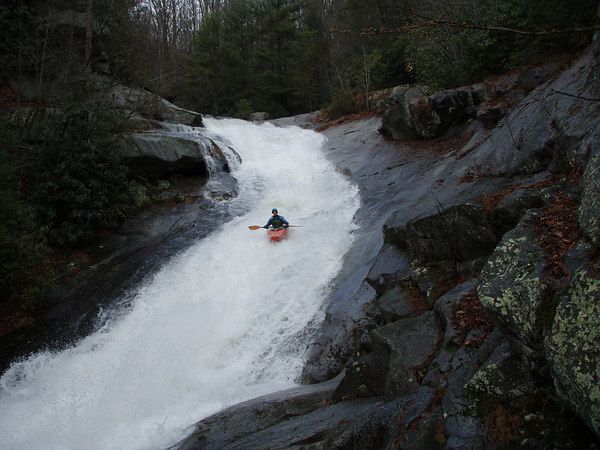
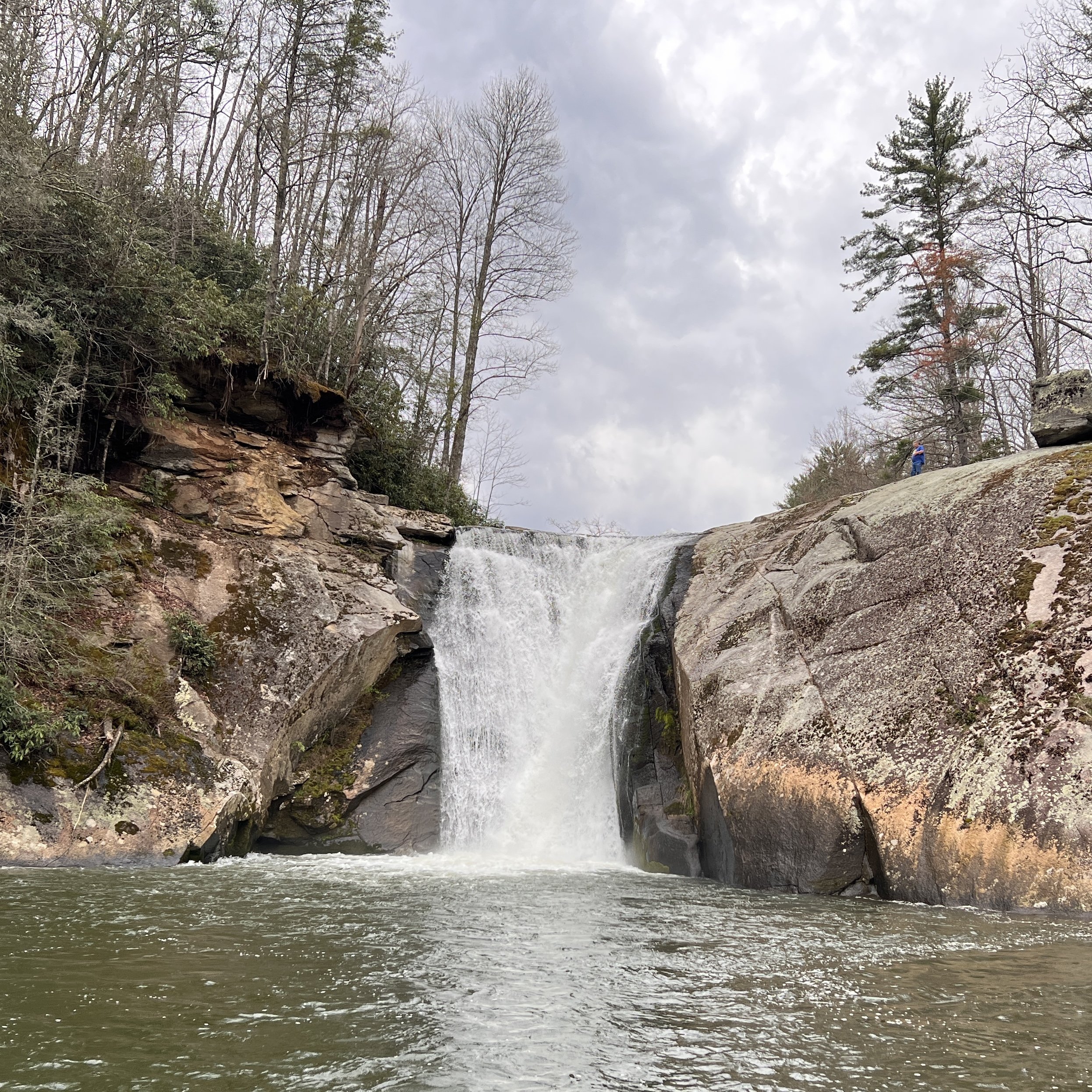
The biggest drop, Dragstrip, comes at the end of the steep section. It comes after a long, multi-tiered, multi-channeled slide with an overhanging rock at the top on river left. Some folks scout this drop and the Dragstrip in one trip. The Mountains-to-Sea Trail on river left makes covering the distance down to the Dragstrip easy. The horizon line of the Dragstrip is not entirely obvious from river level because the entrance is occluded by foliage and some large boulders. Fortunately, there are last-chance eddies on both sides of the creek. Both left and right lines are possible. The right line at high water involves a pretty dynamic direction change. The left line at low water is a bit thin. There is one more rapid of importance after the Dragstrip. Be on the lookout for wood in the rest of the Gragg Prong and Lost Cove Creek down to the takeout. Beware of wood on Lost Cove! The beavers are dropping a LOT of trees into the stream.
As if one might need other reasons to paddle this section, the gorge is decorated with spectacular, successive Catawba rhododendron, mountain laurel, and rhododendron blooms in May and early June. The water quality is superlative.
Shuttle directions: The takeout is the confluence of Lost Cove and Wilson Creeks in the settlement of Edgemont. Be aware that the land on the side of Lost Cove Creek is private property. To get to the put-in, take FS 981, Roseboro Rd, toward the Blue Ridge Parkway. The road follows Rockhouse Creek (Do a quick run on the way up?), crosses Hughes Ridge, and comes downhill to a bridge over the Gragg Prong. This is the put-in.
Rapids in this Run (2)
Waterfalls (1)
Difficulty
Class IV-V
Length
4.6 mi
Gradient
250 ft/mi
max 400
Rapids
2
Access Points
Difficulty Classes
I Easy
II Novice
III Intermediate
IV Advanced
V Expert/Extreme
VI Unrunnable
Current Conditions
5-Day Forecast
Whitewater data from
American Whitewater
American Whitewater