Route 1171 to NC Route 209 in Hot Springs
Linked via: Nhdplus discovery 90% confidence Synced 6mo ago
Gauge Conditions
Runnable: 200.0 – 2,000.0 CFS
Flow range for best boatability uncertain. Please help your fellow boaters with a comment or report.
Data from American Whitewater & USGS
Run Map
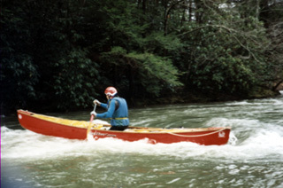
Description
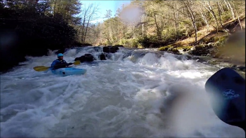
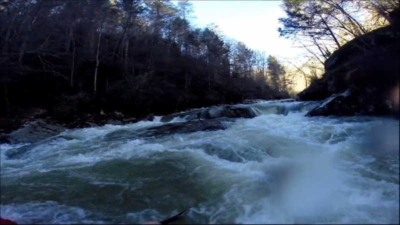
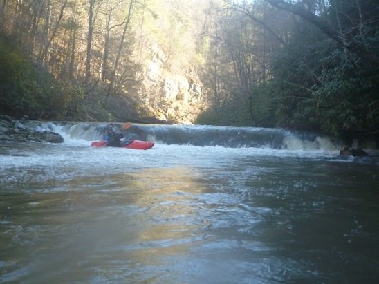
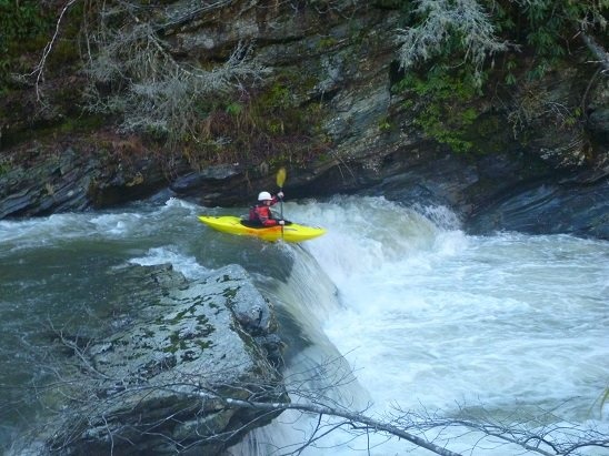
Spring creek cuts a deep gorge as it drops into Hot Springs. This run really starts off with some good drops. The major rapids begin a few yards from the put-in and when the creek is really running they are somewhat intimidating. The first mile consists of almost non-stop ledges and boulder gardens. Unfortunately these things can't keep up forever and Spring creek begins to slow after the first mile. By the end of the second mile, all of the big stuff is done and the creek consists of small ledges or rock gardens. There is one major exception. After Spring Creek emerges from the gorge and reaches NC 209 it has one final big drop. The most dangerous and largest rapid on the creek is less than a half mile above Hot Springs. The rapid drops over 10 feet into a monstrous rocky hole and then slams into a rock wall. Unless you are dead set on running this rapid it seems logical to take out above the final drop and skip the last urban section of Spring Creek. There are no real rapids so if you can get to off the river safely after the NC 209 intersection go ahead and do so. Otherwise paddle down into town and take out.
Here are some correlations:
The multiple numbers represent the level at the beginning and the end of the day.
4/6/13
Spring Creek 9 inches
FB 8000-5000
Ivy 500 - 400
1/12/14
Spring Creek 12-13 inches
FB 10,000 ->8000
Ivy 1000->500
2013-01-19
Spring Creek 18 inches
FB 13,000
Ivy 1100 - 700
Rapids in this Run (4)
Waterfalls (1)
Playspots (1)
Difficulty
Class III-IV(V)
Length
5.8 mi
Gradient
80 ft/mi
max 100
Rapids
4
Access Points
Difficulty Classes
I Easy
II Novice
III Intermediate
IV Advanced
V Expert/Extreme
VI Unrunnable
Current Conditions
5-Day Forecast
Whitewater data from
American Whitewater
American Whitewater