Route 127 to Snyder's Mill
Linked via: Nhdplus discovery 90% confidence Synced 6mo ago
Gauge Conditions
Runnable: 250.0 – 1,800.0 CFS
removed old non working gauge
Data from American Whitewater & USGS
Run Map
Run Time Estimate
Select put-in and take-out to estimate time.
Unlock Advanced Trip Planning
See wind-adjusted speed maps, forecast planning, and detailed time estimates.
Sign in to generate an AI timing estimate for this run.
Whitewater timing varies with scouting, portages, and group pace. Use as a planning baseline.
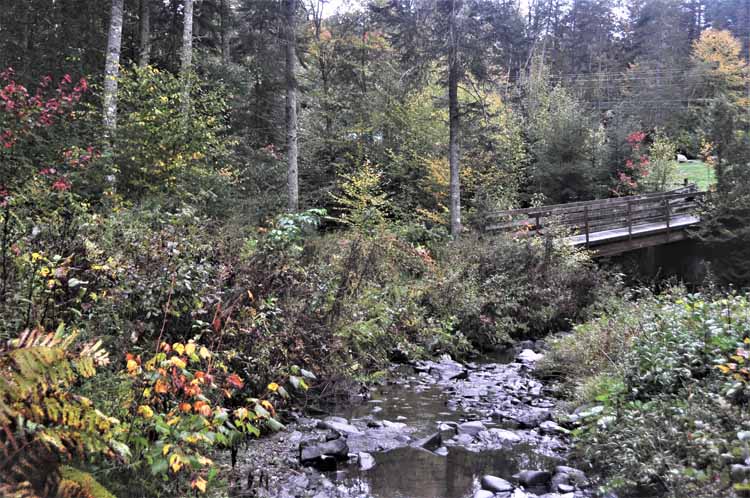
Description
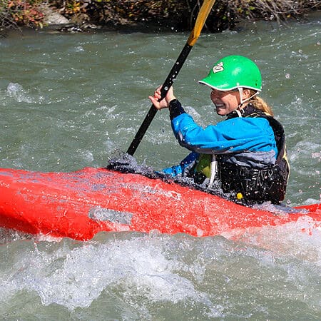
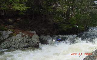
The Blackwater is located in Webster NH just west of Concord. It is comprised of about 90% flatwater. Above the put in is a class V rapid that runs from just below Blackwater dam to the putin. After this is a small section of class 2 where slalom races are held. After this it is flat until you get to Clothespin Bridge, first of the three rapids on the run. More flatwater between here and a ledge like class 3 drop. Then again there is more flatwater until you reach Eggbeater, which is right above the take out.
The run is worth doing once to check off your list, or if nothing else is running. Those who are novices would be content to lap the class 2 below the put in. Eggbeater is worth lapping for advanced boater if there is a way to do so without tresspassing. Clothespin Bridge is a nice rapid, again if paddled on its own. You will have to paddle to move in the flatwater, it will make you question if it was worth the drive.
### Technical info
```
Put in elevation........470'
Take out elevation......350'
Total drop..............120'
Average drop/mile.......32'
1st mile................10'
2nd mile................30'
3rd mile................30'
3.8 mile................50'
Distance................3.8 miles
River width average.....35'
River geology...........Granite ledge, small to medium boulders
River water quality.....Good to excellent, clarity good to excellent.
Scenery.................Good forested scenery, a few homes and camps along the way.
Wildlife................Deer, Merganzers, Blue herons.
```
## Directions
### Put in
Interstate 93 to exit 17 north of Concord.
Take the US-4 exit, exit number 17, towards US-3/PENACOOK/RT-132/BOSCAWEN.
Keep RIGHT at the fork in the ramp.
Go west on US-4 for approximately 4.5 miles
Turn LEFT onto WATER ST proceed for 5 miles. Water street turns into Long street
At the intersection of NH 127 take a left.
In less than 2 miles look for the Webster elementary school on your left shortly after you cross over the Blackwater river.
The put-in is behind the school.
### Take out
Continue heading south on 127 pass the school for approximately 2 miles.
Shortly after the intersection with Tyler Road, park on the left where you can see the river down the embankment.
## Gauge Description:
The flow through this section is regulated by a flood control dam just upstream from the put-in. There are two weekend releases scheduled for the last two weekends in April. Control releases are approximately 600-900 cfs on the old USGS gauge located 1.5 miles downstream on river left above a small class II drop (now disabled). The river is runnable at other times (300-1800 on the old gauge), see below for a general idea of when the river can be run.
The Warner gauge has been added as an estimate of when the river is running at natural flow. This is a new correlation. If you run this section or have more information please leave a comment below with more beta.
Estimated chance (%) of finding the river runnable.
Month............% chance......comment
```
January ............ 5%........Frozen.
February............ 5%........Frozen.
March...............50%........Ice shelves wash out late in the month.
April...............90%........Most dependable month.
May ................40%........Flows start dropping back with leaf out.
June................15%July................ 5%
August.............. 5%........Lowest water month
September...........10%
October.............30%
November............40%........Fall rains, dormant trees
December............30%........River starts freezing around Christmas.
```
Be aware this is averaged out over several years. The % chance refers to the probability of finding the river running on any given day. For instance a 5% probability for August means on average you can only expect about 1-1/2 days of water. One year there could be 3 days in August with water, other years none. Spring levels are usually higher than fall levels. Also be aware that the river is regulated depending on expected precipitation. Drawdowns may precede a major storm in order to allow more storage capacity. At other times the dam may hold back after a major storm to prevent flooding downstream.
The Blackwater releases are the last two weekends of April every year.
Rapids in this Run (1)
Waterfalls (2)
Playspots (1)
Difficulty
Class II-IV
Length
3.9 mi
Gradient
32 ft/mi
max 65
Rapids
1
Access Points
Difficulty Classes
I Easy
II Novice
III Intermediate
IV Advanced
V Expert/Extreme
VI Unrunnable
Current Conditions
5-Day Forecast
Whitewater data from
American Whitewater
American Whitewater