Rt. 50 to Lake Holiday
Linked via: Nhdplus gnis 95% confidence Synced 6mo ago
Gauge Conditions
Runnable: ? – ? CFS
Approximate reading: This gauge is 6.5 miles away on Isaacs Creek. Use as a general reference only.
Data from American Whitewater & USGS
Run Map
Description
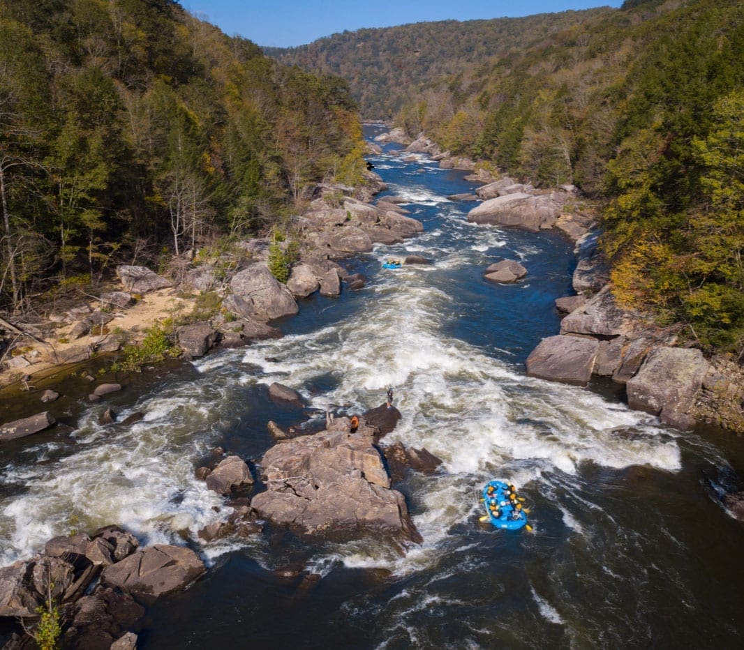
First Descent Report – Class II–III River (Back Creek Tributary)
We had a great first run on this fun Class II–III stretch, which becomes exciting at higher flows. The put-in is conveniently located just below the Route 50 bridge, offering easy access. Although the usual take-out lies within a private community, paddlers can continue downstream to the Route 703 bridge, which provides a straightforward and public take-out option.
The river features numerous river-wide strainers, many of which require mandatory portages. Paddlers should exercise caution and scout whenever necessary. On this trip, I brought a friend along for his first run, and it proved to be an eventful introduction.
Just after the Whitacre Road bridge, we encountered a rapid that now has a fitting name—Lost Paddle. In the chaos of the drop, my friend lost his paddle, and we were forced to make a hasty recovery. Though we weren’t able to retrieve it immediately, we returned the next day and found it lodged underwater, wedged firmly into a tree—almost like the river was keeping it as a souvenir.
We ran the river at over 8,000 CFS on the Back Creek gauge near Jones Springs, WV, which provided continuous flow and amped up the challenge. With its scenic surroundings and technical elements, this stretch is definitely worth a revisit—though next time, we’ll bring a spare paddle.
Rapids in this Run (1)
Difficulty
Class II-III
Length
3.9 mi
Rapids
1
Access Points
Difficulty Classes
I Easy
II Novice
III Intermediate
IV Advanced
V Expert/Extreme
VI Unrunnable
Current Conditions
5-Day Forecast
Whitewater data from
American Whitewater
American Whitewater