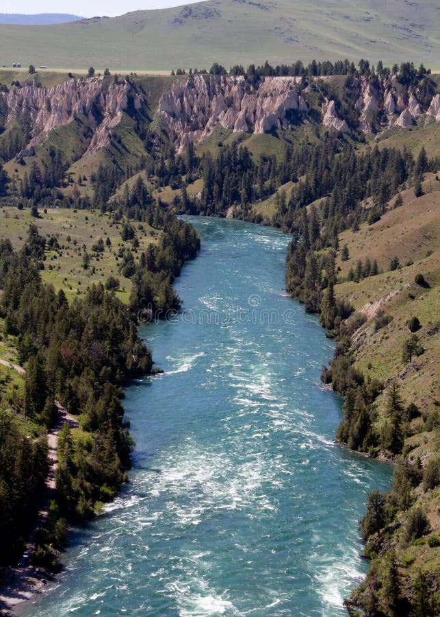
Sands Plains Run: Section 20 Bridge to W.Iron Street (2 - 8.4 miles)
Linked via: Nhdplus discovery 90% confidence Synced 6mo ago
Gauge Conditions
Runnable: 100.0 – 800.0 CFS
Likely too low for decent whitewater run.
Data from American Whitewater & USGS
Run Map
Run Time Estimate
Select put-in and take-out to estimate time.
Unlock Advanced Trip Planning
See wind-adjusted speed maps, forecast planning, and detailed time estimates.
Sign in to generate an AI timing estimate for this run.
Whitewater timing varies with scouting, portages, and group pace. Use as a planning baseline.
Description
An excellent pool drop style run for beginners and intermediates during spring run-off -- class I-II at 'normal' water levels, class III in spring or high water. There are four short rapids in the first two miles (average run time is 45 minutes), or continue all the way to Gwynn for a few more drops, but a lot more flatwater. The drops are nicely spaced on the run and the flatwater moves at a pace which allows easy paddling from one drop to the next.
Always be on the lookout for logs which may have to be portaged.
The private land owners in the cabins have been very friendly when we've encountered them, but we have stayed in our kayaks when talking to them. Two of the cabins/houses are regularly occupied and have docks in the river.
NOTE: Our reference gauge is on Middle Branch (22.5 miles WNW), with drainage area 45.7 square miles. USGS lists a 'sampling site' very near our put-in with drainage of 96.6 square miles. Thus, _on average, actual flow in this reach might be twice the listed gauge_! Correlation is not assured, but is expected to be reasonably good.
Rapids in this Run (20)
 Rapid
Rapid
USGS sampling site
 Rapid
Rapid
Island
 Rapid
II+
Rapid
II+
Canyon Rapid
Rapid
II
Rapids
Rapid
II
Rapids
 Rapid
Rapid
Short drop?
 Rapid
Rapid
Short drop?
Rapid
Confluence, O'Neal Creek
 Rapid
II
Rapid
II
Fourth drop
 Rapid
II
Rapid
II
Short Rocky Wavetrain
 Rapid
I
Rapid
I
Long Shoals
 Rapid
I
Rapid
I
Short Shoals
 Rapid
I
Rapid
I
Broken Shoals
 Rapid
Rapid
Confluence, unnamed creek
 Rapid
Rapid
Riffles and Rips
 Rapid
Rapid
Timber Ford
 Rapid
Rapid
Rock Pile
Rapid
Log Jam ?
Rapid
Rock Wall ?
 Rapid
Rapid
Possible minor ledge
Difficulty
Class I-II(III)
Length
7.8 mi
Gradient
7 ft/mi
max 55
Rapids
20
Access Points
Shuttle Info
Paddlers can use the automatic directions given below for the 'full run', or this description provided by a local 'informant' for the short (2 mile) run:
Traveling south on CR 553 (11.6 miles from Hwy.28/41 out of Marquette, 9.0 miles past the Carp River) turn right on Station Road/CR-NB. Continue 1.5 miles to the end of the pavement. Cross the railroad tracks and immediately turn left on the dirt road. Proceed 0.2 miles to a fork in the road, taking the right fork (CR Nnd) and proceed 0.6 miles to a 4-way dirt intersection. Turn right at this intersection and travel 1.1 miles to the bridge over the East Branch Escanaba River. (Total distance from CR553 turnoff should be 3.6 miles.) This is the put-in.
Return to intersection of Station Road and County Road 553 and proceed 4.2 miles south. Just prior to the take out road you will see a small steel Semco Energy building on the left. Turn right off 553 onto the gravel road (opposite side of road) and continue west on this road for 1 mile to a fork in the road. Take the left fork and continue approximately 1/2 mile to another split in road. Take the right road (2 -track road) its end at the river (approx. 1/2 mile). This is the take-out.
Note: About 100ft prior to the river you will encounter a road-wide waterhole. **Do not attempt to drive through unless you have a very high ground clearance and 4 wheel drive.** The road bends to the right and continues about 50 yards to a clearing/campsite just below the 4th drop described in the run. We usually take out here and carry our kayaks back to the vehicle on the other side of the waterhole.
Difficulty Classes
I Easy
II Novice
III Intermediate
IV Advanced
V Expert/Extreme
VI Unrunnable
Current Conditions
5-Day Forecast
Whitewater data from
American Whitewater
American Whitewater