Sheridan Springs Road to Mill Street (3.75 miles)
Linked via: Nhdplus discovery 90% confidence Synced 6mo ago
Gauge Conditions
Runnable: 50.0 – 350.0 CFS
Likely too low. However, rains often can push flows in river up without gauge reflecting that due dam-regulated outlet of Geneva Lake.
Data from American Whitewater & USGS
Run Map
Run Time Estimate
Select put-in and take-out to estimate time.
Unlock Advanced Trip Planning
See wind-adjusted speed maps, forecast planning, and detailed time estimates.
Sign in to generate an AI timing estimate for this run.
Whitewater timing varies with scouting, portages, and group pace. Use as a planning baseline.
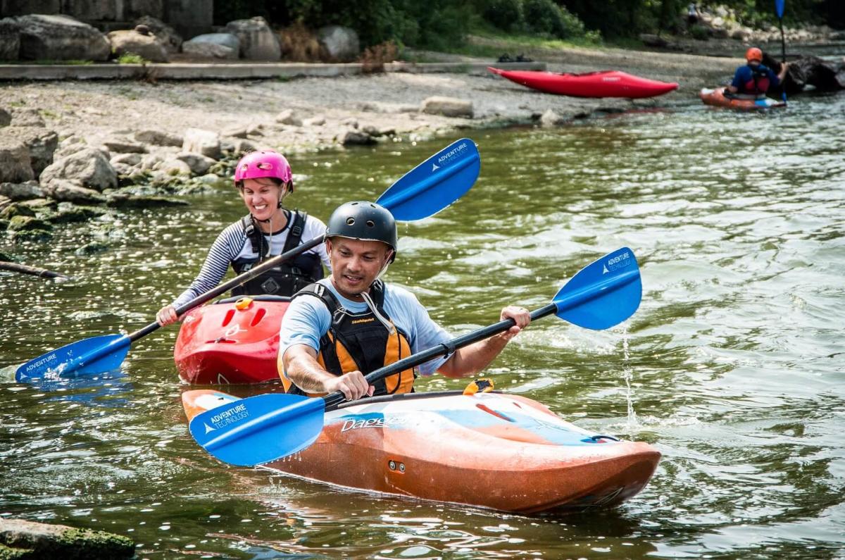
Description
Quick Facts:
Location: Between Lake Geneva and Burlington, WI.
Shuttle Length: 2 miles
Character: Fine mostly rural float. Water is (generally) clearer than many streams due to half the watershed being outflow from Lake Geneva.
Put-in is approximately 814' elevation.
Take-out is approximately 776' elevation.
Thus total elevation change is approximately 38'.
General Overview
Recommended put-in is at Sheridan Springs Road, just South of Buckby Road.
Historically, the take-out was at Spring Valley Road, but that area has been posted with 'no trespassing' signs, so boaters should continue about 2/3 of a mile to take out at a park on Mill Street in 'downtown' Lyons.
A much longer run may be made starting (further upstream) at the edge of the city of Lake Geneva, and continuing (further downstream) to the confluence with Honey Creek (just outside of Burlington) or further. However, virtually all of the added distance is flatwater.
Most of the run is best characterized as an intimate little stream flowing through prairie lands. A few random spots create small waves, some of which may allow minor surfs. The best spot of whitewater is the short pitch under the bridge at Spring Valley Road (the *Lyons Wave*).
Rapids in this Run (9)
Rapid
Geneva Lake outlet dam, and gauge
Rapid
Interesting bit of gradient
Rapid
Grand Geneva Way (road bridge)
Rapid
Sheridan Springs Road (first crossing)
Rapid
Put-in: Sheridan Springs Road (second crossing) (Drainage: ~60 sq.mi.)
Rapid
White River Park
Rapid
First Trail Bridge
Rapid
Second Trail Bridge
Rapid
Meadow Meanders
Playspots (1)
Hazards & Portages (1)
Caution: The following locations may require scouting or portaging. Always check current conditions.
Difficulty
Class I(II)
Length
3.2 mi
Gradient
13 ft/mi
Rapids
9
1 Hazard
Access Points
Difficulty Classes
I Easy
II Novice
III Intermediate
IV Advanced
V Expert/Extreme
VI Unrunnable
Current Conditions
5-Day Forecast
Whitewater data from
American Whitewater
American Whitewater